Discover

Liberating well data with modern data science and AI

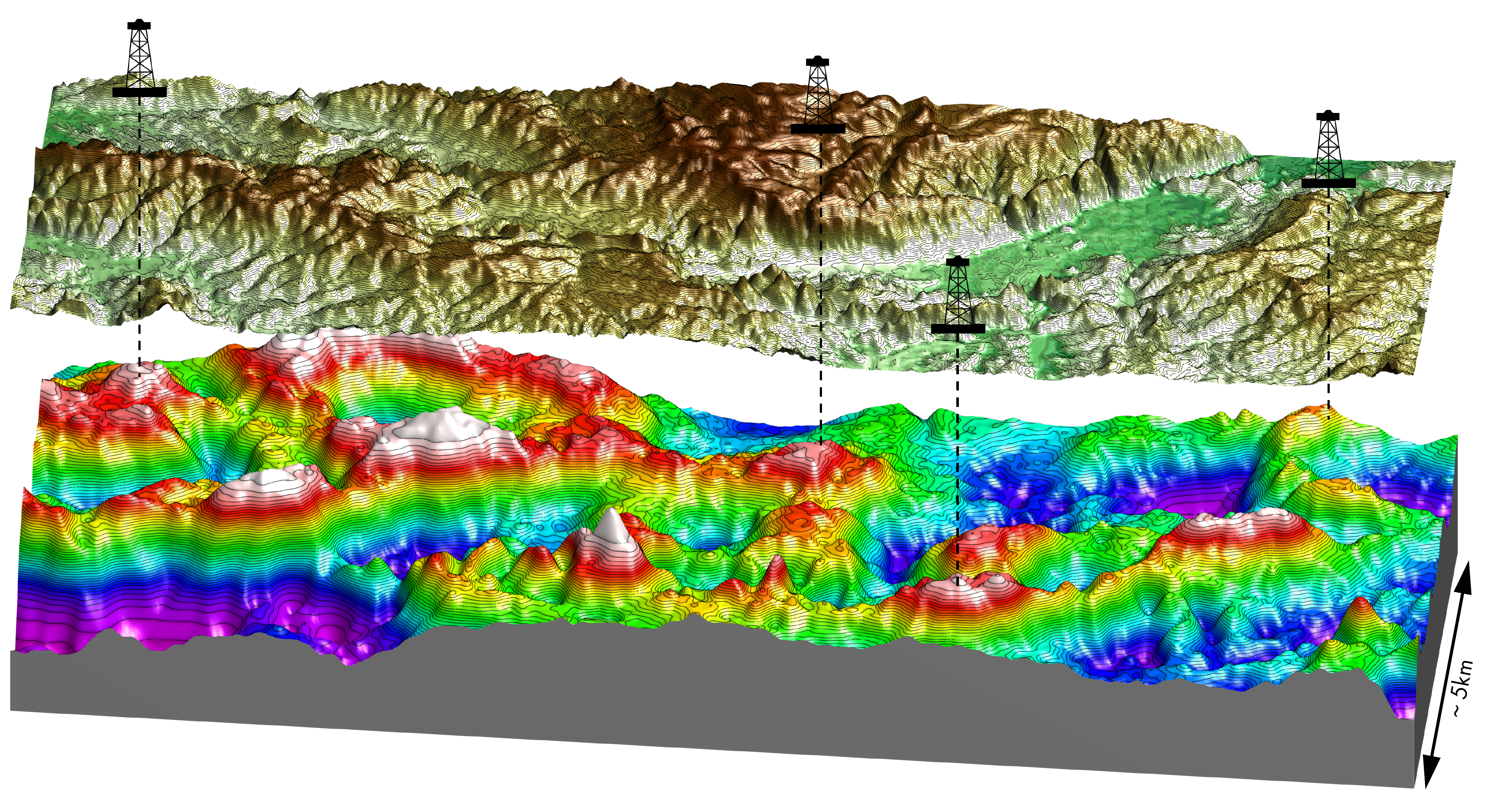
AI-driven well data revolution: Unifying traditional expertise with modern data science The oil and gas industry is navigating a transformative era fueled by the convergence of geoscience, data science, and…

Gulf of America: Salt-driven structures, data-driven discoveries

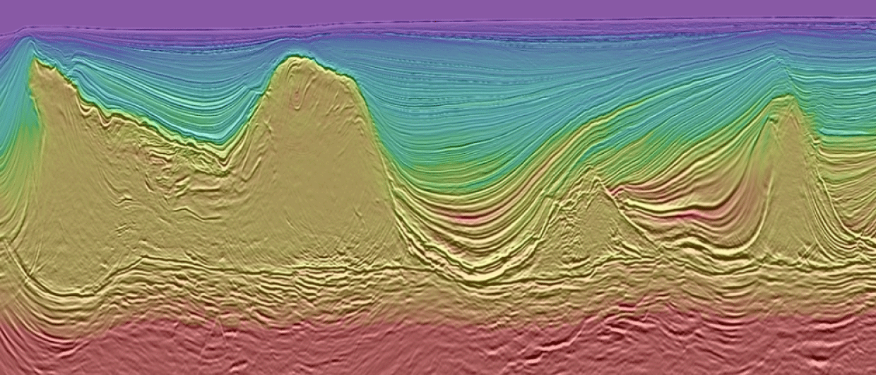
Sharper imaging, smarter exploration How cutting-edge seismic techniques are transforming risk assessment in the GOA Since 2019, long-offset Ocean Bottom Node (OBN) technol­ogy has become a cornerstone for advanced imaging…

Self-similar structures and DHI indicators in the Greater Caribbean

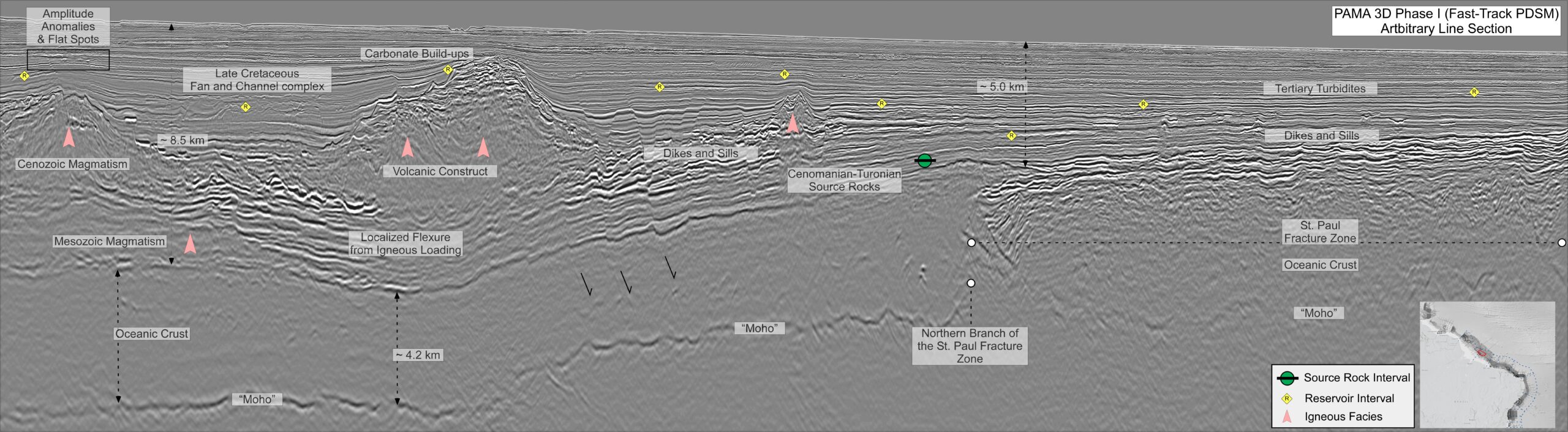
Bridging proven plays and frontier potential The offshore of the Caribbean has experienced a dramatic and enduring tectonic history full of movement and continuous accommodation. Forming in the Late Cretaceous…

The future has arrived

Figure 1: Location of the 3D seismic datasets acquired between 2022 and 2024 in the Orange and Pelotas Basins. Contourites: When everything going sideways saves the day Though complex in…

Discover more in Møre, Norway

Figure 2 (left): Overview map of the NVG survey (blue), NVG24 (green) and sparse OBN (black) coverage near the Norwegian coast. Figure 3 (right): Time-structure map of the top acoustic…

From data to discovery: Applying AI in offshore geoscience

Gamma ray log colored by averaged measured depth for 5,000 wells. AI at Scale: Modernising subsurface interpretation with EarthNET A machine learning-powered workflow enabling geoscientists to analyse and interpret large,…

The E&P industry of the future

An industry in transition or transformation? The upstream E&P sector has faced challenges over the last decade, including a downturn, the energy transition, and COVID-19. The industry is resilient but…

The Equatorial Margin of Brazil is open for business

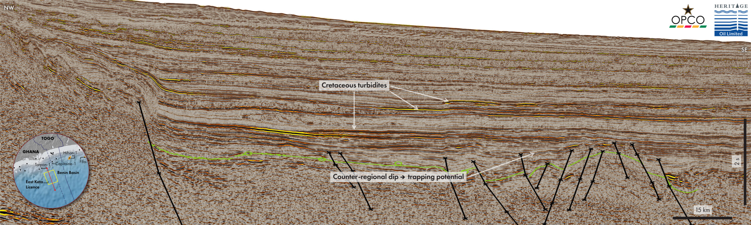
Figure 1: TGS data library map, basins, 2025 OPC Blocks, exploration wells and fields for the Equatorial Margin of Brazil. Key and recent discoveries marked with a green dot. The…