Technology

Remote Sensing Underground

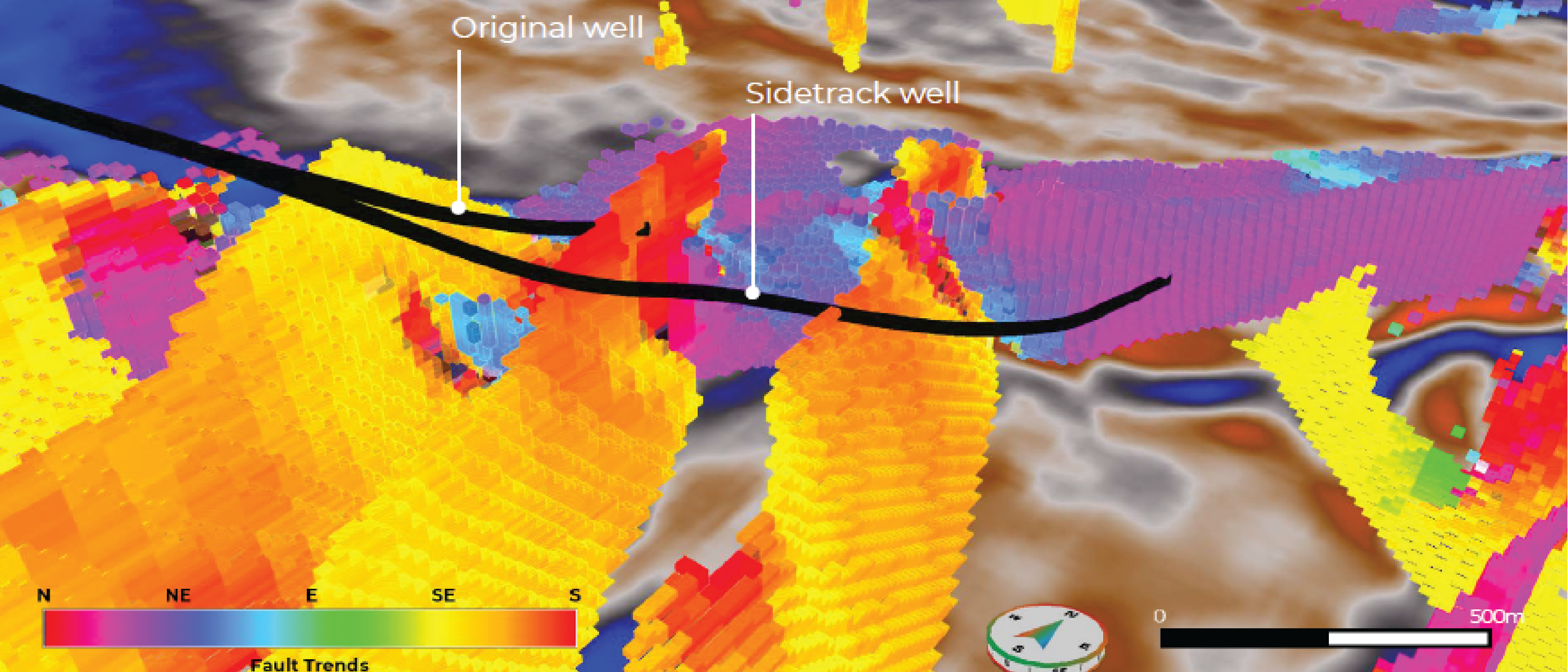
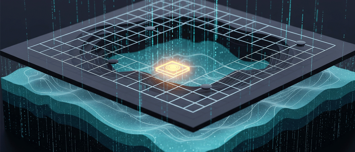
Satellite remote sensing uses specific frequency bands to reveal details about the surface of the earth. By borrowing this idea and applying it to broadband 3D seismic data, reservoir heterogeneities…

Into the Abyss!

Borehole seismic – the technological challenge of listening at extreme depth. William Wills of Avalon Sciences discusses some of the principle requirements driving borehole seismic technology innovation. The domain of…

From core to pore

From the early days of hydrocarbon exploration, right up to the present day, the ‘traditional’ method of finding the geological or stratigraphic position of a well while drilling has been…

Gas Hydrates Part IV: Where Are Gas Hydrates Found?

The need for energy is driving much of the current natural gas hydrate research. “While research on methane hydrates is still in the early stages, these research efforts… could potentially…

Unique and fast analysis in the field

Field-portable x-ray fluorescence (FPXRF) is a technique that is gaining momentum and acceptance in addressing applications in various fields in geology and mining. Thousands of these instruments are currently used…

Reading Between the Lines

Point-receiver data, isometrically sampled in both crossline and inline directions, fully captures the three-dimensional seismic wavefield for the first time. Even the most cursory study of an outcrop such as…

60 years of innovation

Romania is one of the oldest hydrocarbon-producing countries in the world, with initial production recorded in 1858. At one time it was the largest petroleum producer in Eastern Europe but…

Real-time data delivery

Real-time information has been used for quite some time in the E&P industry to help improve the safety and efficiency of well construction. The benefits are well documented and today…

The Miocene Monterey Formation

The Los Angeles Basin is the most productive basin by area in the world – and the Miocene Monterey Formation, which is exposed along the coast and in the hills…