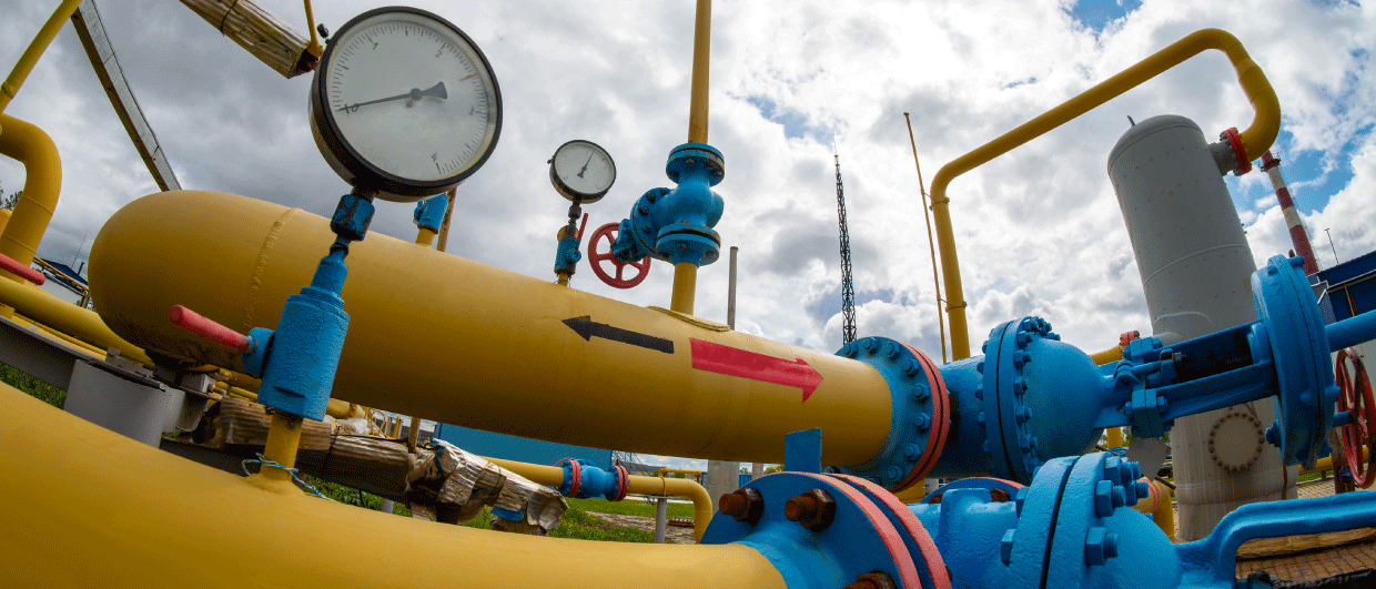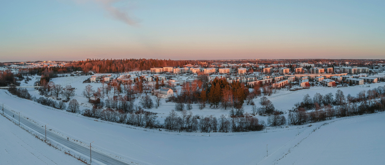
Vantaa , Finland. Photo: Erkki via Adobe Stock.
Storing heat in basement rocks
Finland has no oil, but it has some good-quality rocks that can be used to store energy in. That’s what a large thermal storage project that is currently under construction is all about

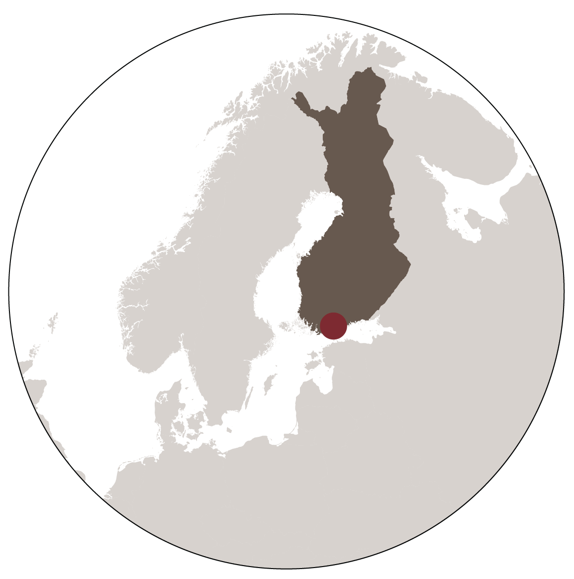 “Having a look at our lineament map,” says Jon Engström from the Geological Survey of Finland, “that is the first thing you need to do when you’re planning a subsurface project in our country.” Jon is a structural geologist who has extensive experience in mapping of structural deformation in Finland’s subsurface, mostly gained through the site selection process for the nearly completed repository for nuclear waste.
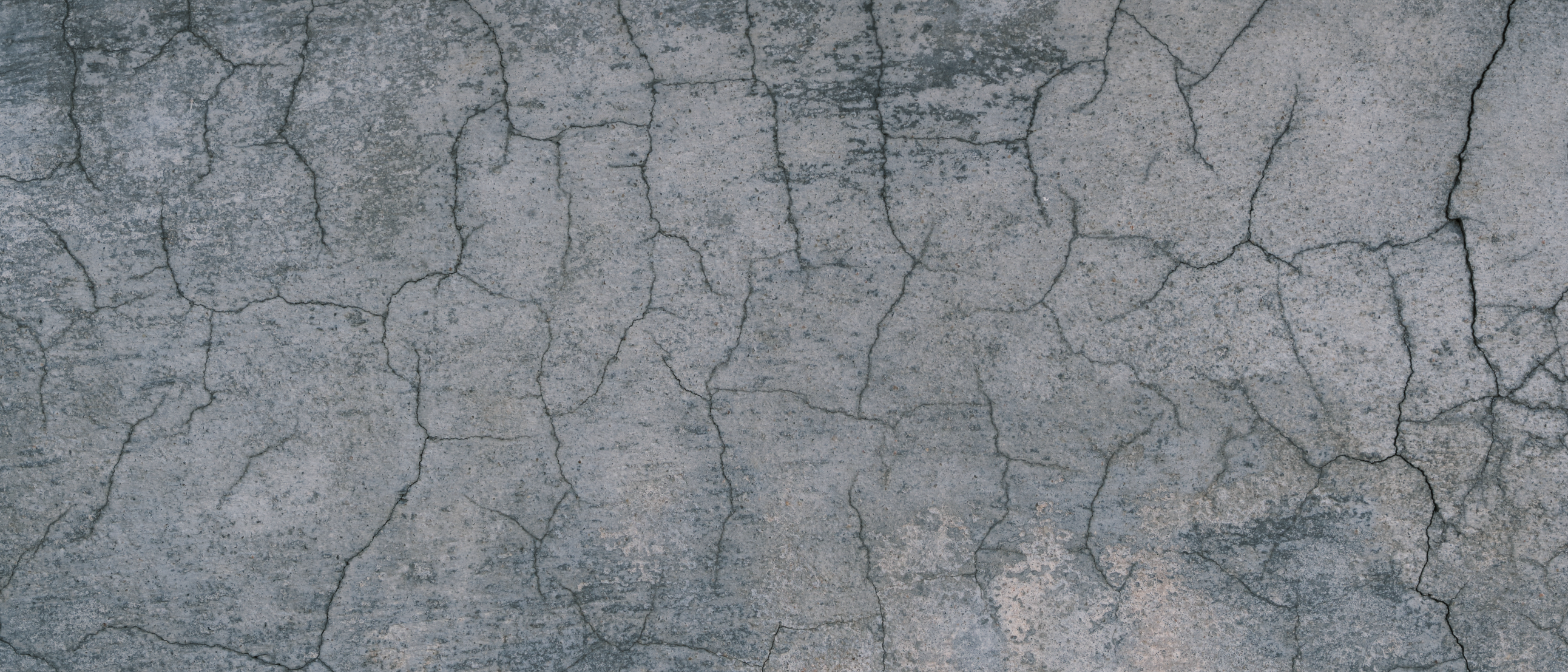
The lineament map provides a good indication of the bedrock blocks in southern Finland, which is primarily composed of granites that were subsequently metamorphosed and deformed to varying degrees. As such, the lineaments dissect the country into a patchwork of smaller blocks. In turn, it is these smaller blocks that form the basis for most subsurface projects because the degree of fracturing and faulting is usually less than in the lineaments themselves. This reduces the risk of geomechanical instability, reactivation or groundwater flow pathways.
It is groundwater flow within the bedrock that is especially critical to the Varanto project in the town of Vantaa, southern Finland, where the world’s largest thermal energy storage project is currently under construction. It will be a seasonal storage facility that consists of a series of three huge man-made caverns that together will store 1,1 million m3 of water at a temperature of around 140° C. In total, the energy stored this way amounts to 90 GWh, enough to heat a medium-sized town for as long as a year. The caverns will be 20 m wide, 300 m long, and 40 m high and are situated at around 100 m below the surface.
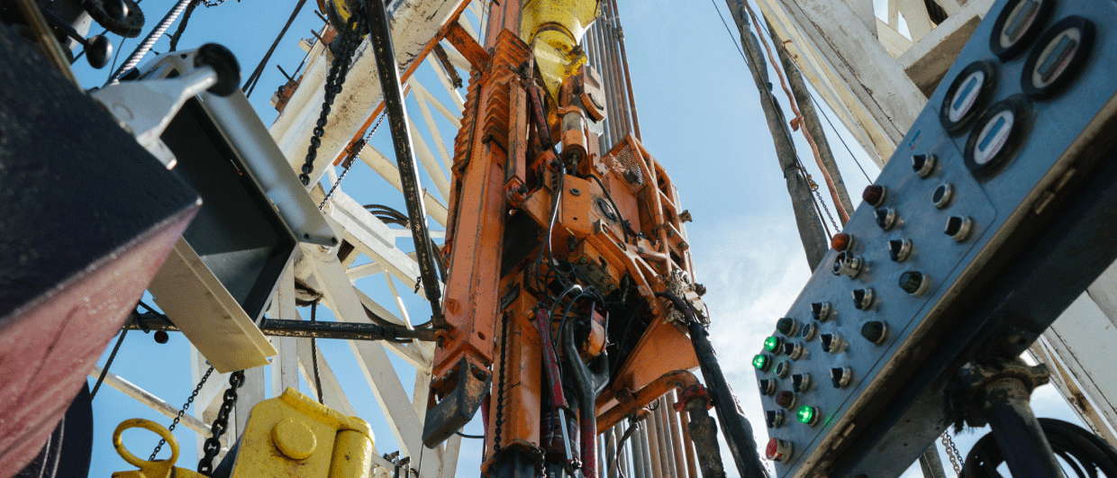
“We know that the rocks themselves are impermeable,” says Jon, “but we also know that fracture zones are the most risky when it comes to potential fluid escape. That’s why a rigorous mapping exercise is critical; not only through mapping the regional lineaments, but also by more detailed work carried out on site.” That’s where cores from boreholes come in, which were drilled at the project site. “You always need that type of data to gain a better understanding of the local geology,” explains Jon, “also because the types of basement rocks vary and with that does the density of fractures.”
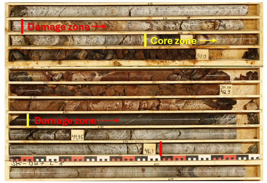
“When you look at just granite, the fractures tend to be a set of two conjugates at a defined angle, but when the rocks are heavily metamorphosed, as is the case with the successions we are dealing with at the site, the fractures tend to follow the foliation and therefore it is more mixed up,” Jon says. “That is the main reason as to why the cores are so critical to the overall assessment of deformation zones and fracture density.”
The database covering a nationwide overview of interpreted lineaments can be found through the website of the Geological Survey of Finland through this link.