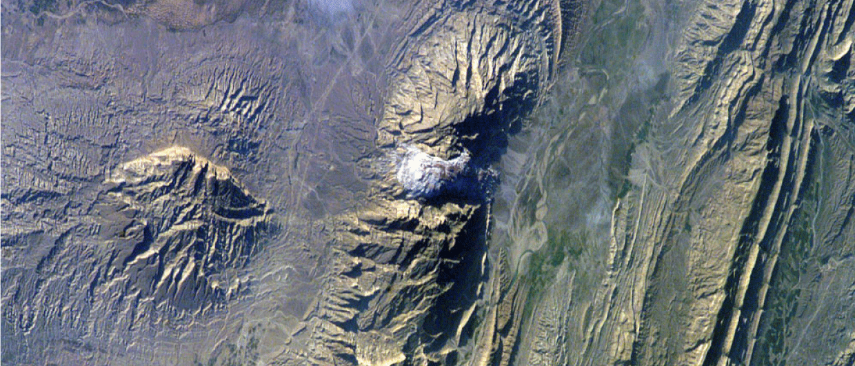
Aerial image of the Zagros Mountains, showing the Jashak salt dome as a white area in the centre. Photo: NASA via Wikimedia.
The Sinapa saga
The battle to escape the salt diapir

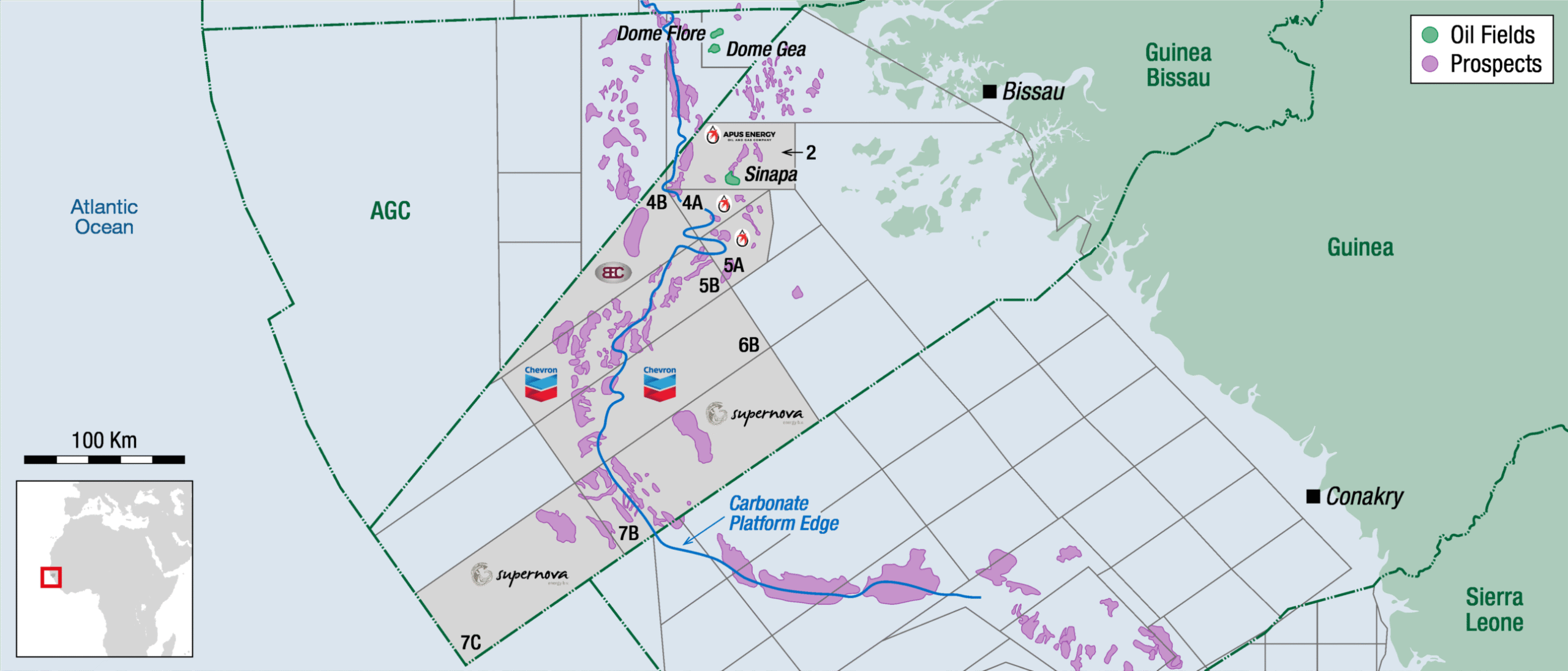
As with any exploration story, this story begins with a map that hides a secret. Salt, tall as a mountain, buried clear white veils of fluid rock, and a target that dares to wrap itself against its throat. We are in Guinea-Bissau, and it is the year 2004. A rig hums, hoses hiss, and the team faces a wall that isn’t on the map. The Sinapa-1 well aims to drill down the slender side of the diapir, as it was mapped using 2D seismic and fancy PSTM processing. In the pre-drill scenario, the well would be a straight shot to the Albian sand reservoir. But the salt had plans of its own.
As soon as the well was at the depth where the diapir crest was expected, the story tightened. Rather than continuing into the sediments in which the diapir intruded, the bit slams into the very salt. So shallow, is this a wing? A canopy?
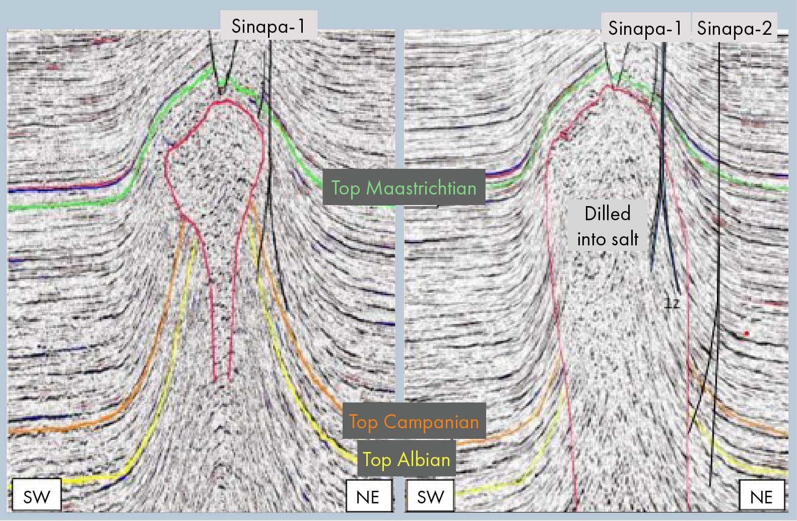
Stubbornly, the team carries on, but the salt doesn’t go away. We circle the wagons, eyes bright with resolve, proposing a sidetrack to escape the diapir. Mud motors steer away, pressing on towards the diapir edge. But the edge is nowhere to be found. The seismic is just laughing at us.
On toward the promised sands, and using mudmotor after mudmotor, we finally drill from salt into a mudstone. But it is not the type of mudstone we expected. These are Triassic red beds, huge blocks of sub-halofer strata sucked off the floor of the diapir and plastered up the diapir flank. And then, as the last mud motor goes in, we go back into salt. Then, mud motor sputters and fails. It’s the end of the sidetrack.
A little later, the PSDM 3D seismic arrives like a new compass that sings with possibility. The map is rewritten, the edges of the salt move out and the diapir’s boundary is sketched with new bravado. The team dares to redraw the epic and plans a second well with a safer margin.
Sinapa-2 enters the saga with the wind of renewal in its sails. This time, the crew refuses to flirt with the salt wall and starts way further out, only deviating towards the salt once the well is deeper down. But the gods of exploration are chuckling at this new plan. Albian sands come in and are full of black oil. Yet, they are tight.
However, a slightly deeper sand does demonstrate the presence of hundreds of meters of clean and good quality sand, albeit in the water leg. So what else to do than to pull back and sidetrack further up, to catch the good sands in the oil leg? But again, no luck, as we drill the same sequence again.
The story will no doubt continue. On the opposite side of the diapir, the reservoir is now mapped further up structure – one day the adventure will be taken on again, and perhaps there will be a good result from the epic battle to escape the diapir. When reconstructing the well paths, we were so close with the first well. Perhaps 100 m laterally from the TD of Sinapa-2 sidetrack. So near but so far.