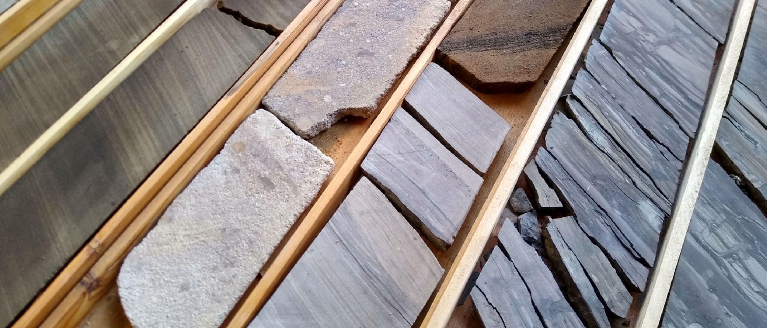
A selection of classic Brent cores from the UK Northern North Sea - Dunlin field. Photo: Emma Fraser.
The class of ’71
The closer you look, the madder it gets

I am working on a Brent Province project at the moment. It’s the appraisal of a significant discovery. The Brent is classic petroleum geology – and this project really does feel classic, it feels like heritage, it feels good.
The Brent Province, the Brent Group, the Brent Fields, the Brent Crude Assay, and the Brent Pricing Benchmark. It has underpinned the UK’s lifetime of oil production. It’s an honour to be on such a project.
The Brent field was discovered in 1971… same year as my birth, a significantly less significant event… by the Shell / Esso joint venture in the East Shetland Basin of the desperately inhospitable Northern North Sea.
Shell / Esso fields were evocatively named after seabirds. Alphabetically and not-quite-sequentially; Auk 1970, Brent 1971, Cormorant 1972, Dunlin 1973, Eider 1976, Fulmar 1975, Guillemot 1973, Gannet 1974, Kittiwake 1977 and so on. I had heard that the original plan was to be boringly alphabetical – A-UK being the first UK discovery, followed by B, C, D. Then someone with a drop of foresight pointed out that the yet-to-be-discovered sixth might prove tricky.
The Brent Group is Middle Jurassic – simplified regionally as shoreface and coastal delta deposition and rather tidily subdivided into five formations: Broom, Rannoch, Etive, Ness, Tarbert, referencing place names in Scotland. But neither simple nor tidy are common in geology, and the more the Brent was drilled, the less simple and less tidy it proved to be.
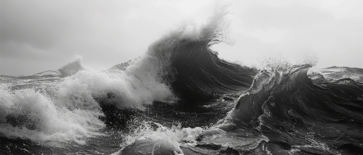
Initially, the stormy, wavy shoreface of the Jurassic sea, the mighty Brent Delta claws, consumes, and cannibalises across the coast. Advancing relentlessly. Inlets open, tides muscle in, the coast becomes complex and contested. The sea concedes in parts, the land dominates, a low delta plain emerges, waterlogged and panting. Saline becomes brackish becomes fresh. Wandering channels, stacked fluvial sheets, migrating mouth, and offshore bars, sands trapped in lagoons. And the infamous coals: Many as grand, extensive measures, many poor and ponded. The closer you look, the madder it gets. Modern seismic attributes help, but perhaps only to illuminate the madness.
Modern Delta analogues mostly disappoint: Danube too small and insufficiently coaly, Rhône way too small with not enough tidal or coal, Niger too rivery, Nile too arid. The best might be the Mahakam in Indonesia, but the picky can still poke holes.
For those who like etymology, Broom, Rannoch and Etive are specific Scottish locations, whilst Ness and Tarbet are more generic. Ness – Old Norse for a headland or promontory, literally “nose”. Tarbert – Gaelic meaning a narrow isthmus which were used by Vikings as longship portages: Part convenience, part symbolic acts to claim land.
And talking of Vikings, Norway has its own Brent province – bigger, if anything. Delta-sans-frontières epitomised by the cross-border giant Statfjord, but also Gullfaks, Oseberg, Snorre and many more.
Our Brent project appraisal well is at this very moment turning-to-the-right. Every well we are involved with must involve a deep commitment; but a Brent well has the additional imposing weight of history. To quote the revered geophysicist Nigel Anstey, a pioneer of the modern seismic method: “People are expecting great things from us. So, let’s go. With care. Plain, simple, painstaking, conscientious care”.