Gulf of America: Integrating technologies to see beyond the salt The Gulf of America (GOA) remains a central pillar of US energy infrastructure, and its future potential is increasingly tied…
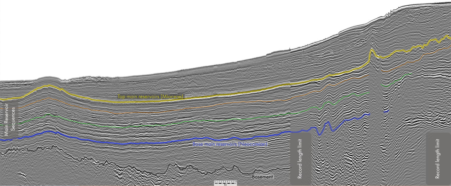
Unlocking deepwater potential Exploration in the Mauritanian coastal basin has historically focused on the Cenozoic salt-draped channel plays, as proven by the discovery of the Chinguetti Field in 2001. Since…
Sharper imaging, smarter exploration How cutting-edge seismic techniques are transforming risk assessment in the GOA Since 2019, long-offset Ocean Bottom Node (OBN) technology has become a cornerstone for advanced imaging…
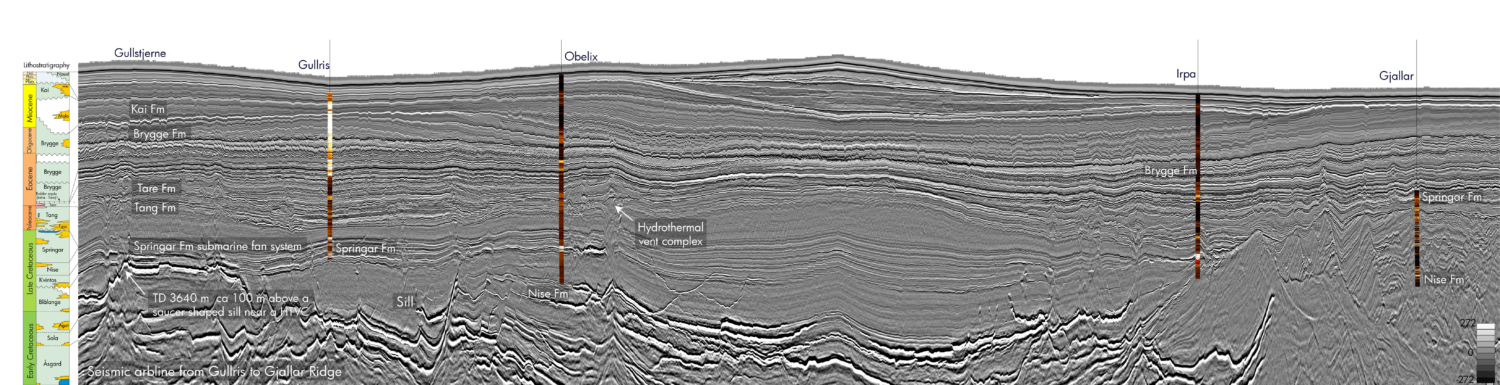
TGS 3D seismic data coverage in the Norwegian Sea. PGS23M02NWS GeoStreamer 3D seismic and location of composite foldout line. Outer Vøring Basin – what is required? To unlock the prospectivity…
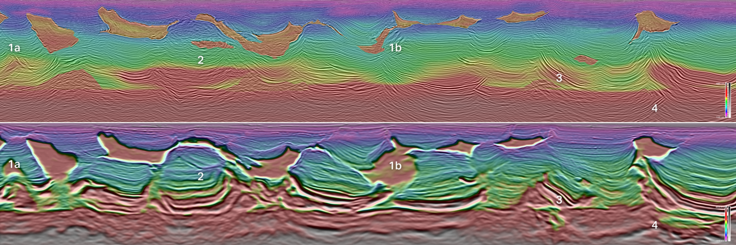
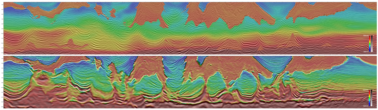
Until recently, seismic velocities have had low value spin-off value as it was only used for migrating seismic data and depth stretching from time to depth domain in workstations. The…
The 437 square kilometer survey will be acquired in the NOAKA area, between the Oseberg and Alvheim fields in the Norwegian North Sea, containing both held and open acreage. This…
CGG, PGS and TGS, industry leaders of multi-client geoscience data, today announced a pioneering strategic partnership to offer a shared ecosystem providing direct access to their subsurface multi-client data libraries.…
Reidun Myklebust, Bent Kjølhamar and Aurélien van Welden, TGS
Seismic image from the Erlend Wild West survey showing two well paths: Tobermory gas discovery (left) and the Bunnehaven gas discovery (right) the latter penetrating Cretaceous sub-lava. Improved seismic imaging…
TGS, provider of multi-client geoscience data for exploration and production companies, has today announced the successful deployment of a pioneering sparse ocean bottom node (OBN) survey in the Atlantic Margin…
TGS submits a conditional offer for the multi-client data library of PGS for a cash consideration of USD 600 million The offer values the multi-client data library in excess of…
Press release: The AM20 survey covers the latest APA19 awards in the Norwegian Sea and extends West into open acreage where TGS has identified several interesting leads. This data will provide…