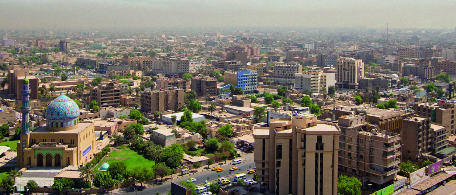
Prior to 1956, the eastern part of the Baghdad Governorate was separated from Baghdad City by an earth barrier called the Nadhim Pasha Dam, established in 1908 to protect the…
Jan Witte and Dr. Olaf Schönicke Falcon Geoconsulting, Germany
GIS databases are a powerful tool for minimising exploration risk in Iranian hydrocarbon basins through geospatial analysis. Iran’s enormous surface area stretches over 2,300 km in a north-west to south-easterly…
Mustafa As-Saruri, Ph.D., and Rasoul Sorkhabi, Ph.D.
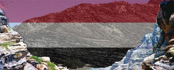
Yemen’s petroleum resource base will be a critical part of reconstruction efforts once peace is restored, but this will require high-resolution exploration and development in both onshore producing basins and…
Alireza Bashari, Research Institute of Petroleum Industry, Tehran
The Permo-Triassic Khuff reservoir is one of the most productive gas fields in the world. What are the factors which have helped it to become so prolific? Available online for…
Mahdi Kazemzadeh (Afraz Adviser) and Babak Sami Vand (Petroxin Ltd.)
Iran provides a significant opportunity to access low cost production for the right companies. In response to the removal of sanctions, we take a look at the opportunities and challenges,…
Lebanon lies at the centre of known regional hydrocarbon systems, but it is poorly explored and understood, possibly due to topographic challenges to terrestrial geophysical acquisition. A recently acquired suite…
Oil Discoveries off the Arabian Shore In that gulf, there was no continental shelf; its waters were not very deep and nowhere exceeded 75 fathoms. The geologists had ascertained that…
The Middle East – one of the most stable E&P markets The Middle East is the largest producing area within the E&P industry, with a total production of around 41 MMboepd…
The Triassic margin is a significant but underexplored frontier play in the Levant region, particularly in Jordan. The Levant covers a large onshore area in the East Mediterranean region including…
Determining the source of hydrogen sulphide on an offshore oil production platform is an important part of preventing or controlling this unwanted gas. Hydrogen sulphide (H2S) is a corrosive and…
The Zagros fold and thrust belt of Iraqi Kurdistan is a prolific petroleum province with several large-scale producing oil and gas fields. The region is under active exploration and hence…
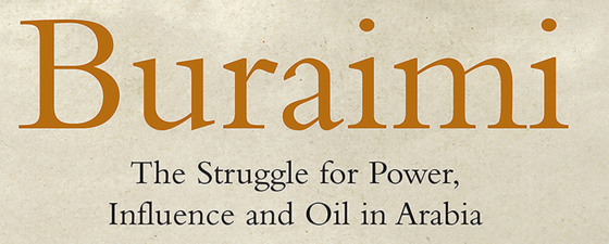
Buraimi: The Struggle for Power, Influence and Oil in Arabia, Michael Quentin Morton. I.B. Taurus (2013) Buraimi and Al Ain are twin towns that today sit astride the fenced border between…