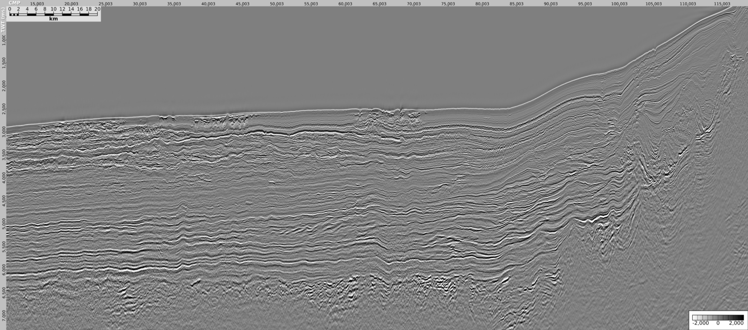
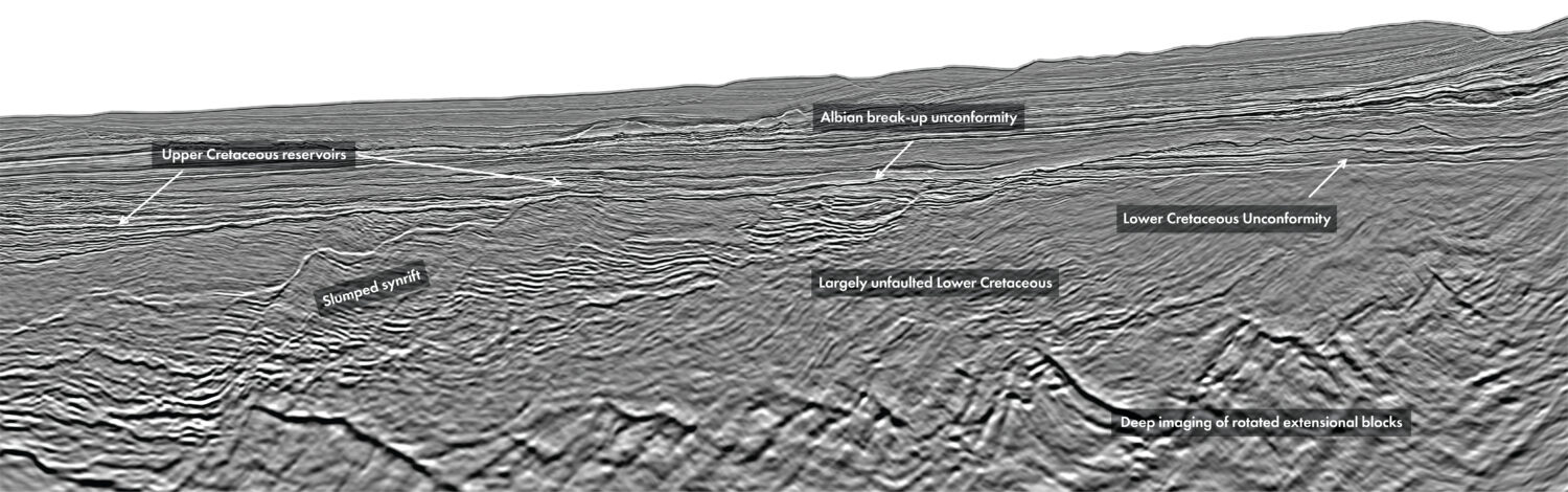
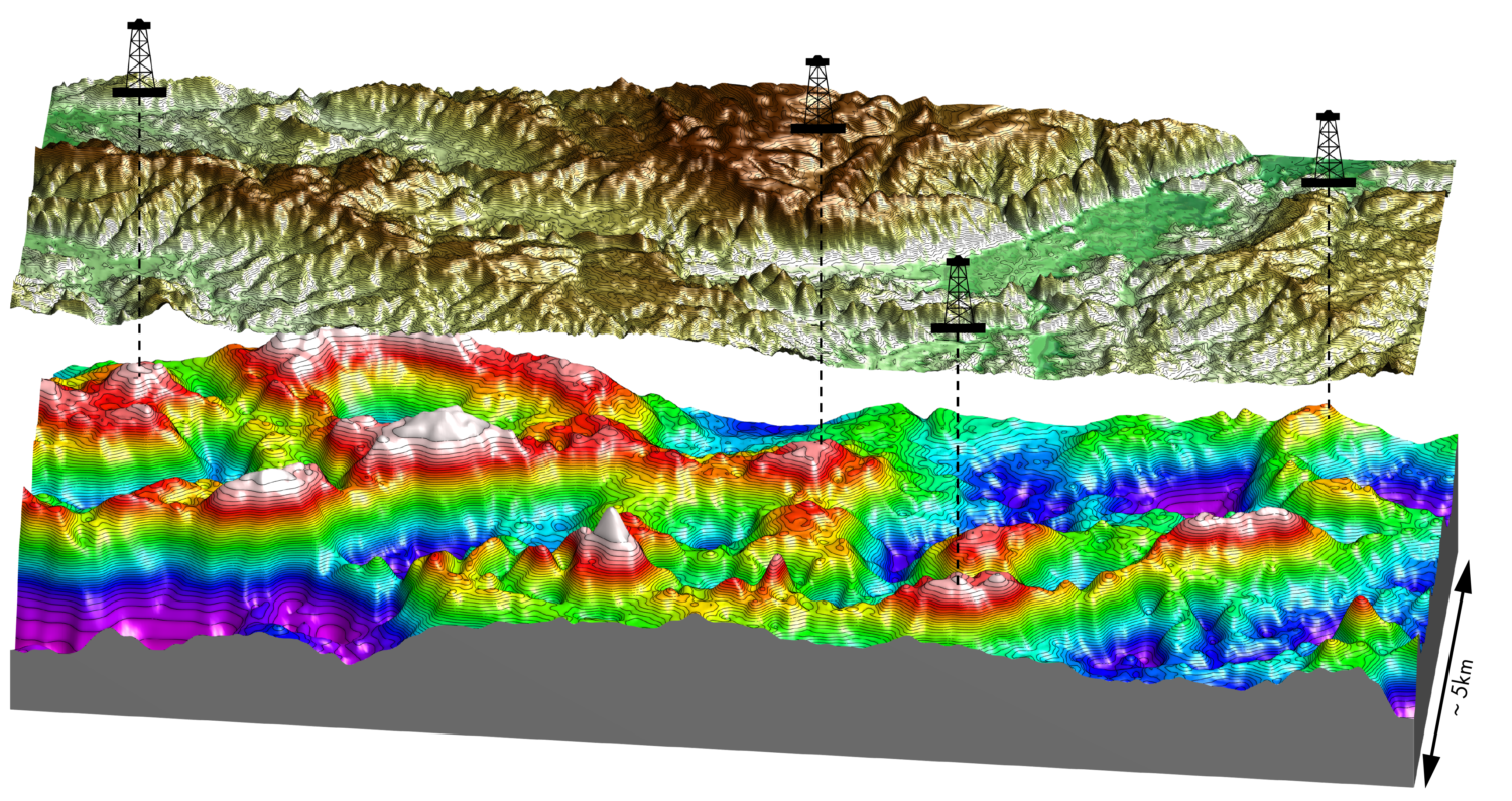
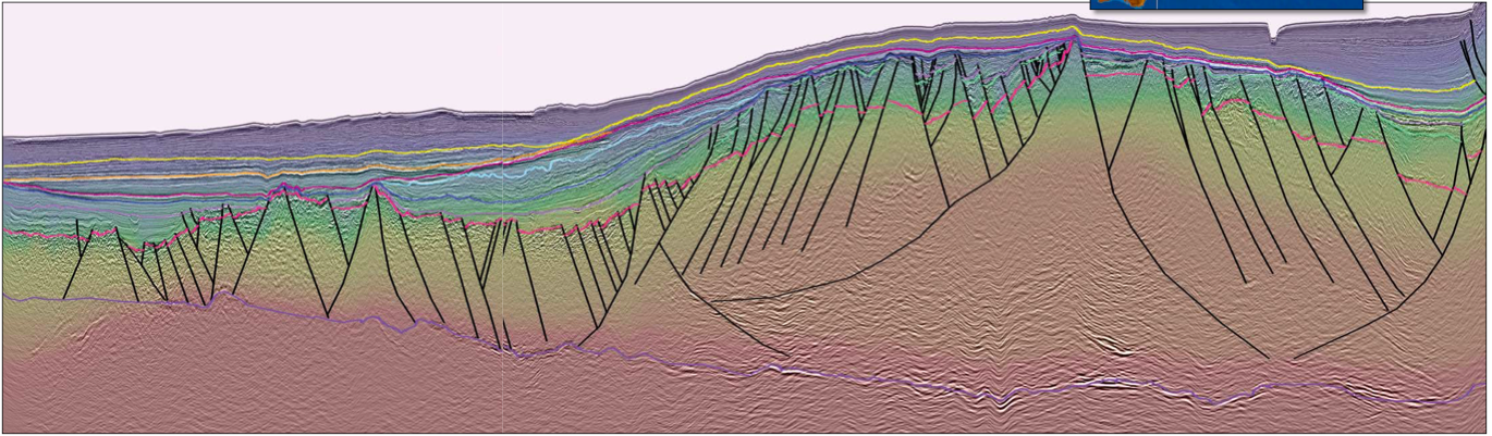
Papua New Guinea has become one of the world’s most exciting exploration regions, with significant petroleum potential in the Gulf of Papua. Searcher Seismic, in cooperation with the Department of Petroleum and Energy (DPE) and BGP, have acquired over 32,000 line-kilometers of long-offset, PSDM-processed 2D seismic in the Gulf of Papua. This dataset has revealed exciting new potential and has highlighted the prospectivity in the Gulf of Papua. The interpreted line below is oriented south-west to north-east and shows a regional seismic line in the Gulf of Papua, where seismic stack data is blended with seismic interval velocity. Better seismic acquisition and imaging has allowed for a more confident identification of the Basement and Moho. The improved seismic quality also permits a robust definition of faults and structural style in the Gulf of Papua. Interpretation of new and reprocessed data reveals clear identification of promising plays. The Gulf of Papua (GOP) has been acknowledged as a potential premier hydrocarbon region. Discoveries at Pasca, Pandora and nearshore Uramu have demonstrated the prolific charge presence analogous to other areas in south-east Asia (Jablonski et al., 2018). Exploration efforts in the deepwater GOP have been hampered by paucity of seismic data and some early models have suggested limited and geologically young sedimentation on top of the unknown age basement, most likely of oceanic origin (Struckmeyer, 1994). Between 2015 and 2017 about 32,000 km of 2D long-offset, high-resolution, broadband seismic was acquired by Searcher Seismic, demonstrating the clearest picture yet of several depositional packages, often separated by tectonically significant unconformities. This is also supported by PSDM reprocessing of 12,972 km of the historical 2D data. Several stratigraphic subdivisions have been proposed in the GOP. Whilst a Tertiary to Jurassic sequence is generally accepted, the older section is still poorly understood and limited by a lack of well information and poor legacy seismic imaging. Acquisition of new seismic data and reprocessing of historical data has led to the identification of several angular unconformities, each suggesting distinctive tectonic packages that have not been previously recognized, as described below: With a more confident identification of a Basement and Moho marker, the interpretation of the shipborne gravity and magnetic data has allowed for a better understanding of the depth to basement and the composition of the crust, which is interpreted to be most likely of continental origin (non-oceanic; Lowe, 2016). These observations have been incorporated into a regional picture that connects geographically distant regions like onshore eastern Australia, PNG and New Zealand. Synchronization of high quality seismic data and regional synthesis studies allow a more comprehensive play identification in the GOP. Several, often vertically stacked, plays have been identified in the GOP (Jablonski et al., 2018). These are summarised as:
Exploring Papua New Guinea
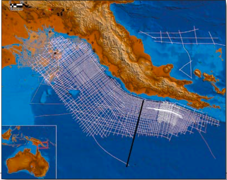
Hydrocarbon potential of the Gulf of Papua
A premier hydrocarbon region
Stratigraphy of the Gulf of Papua
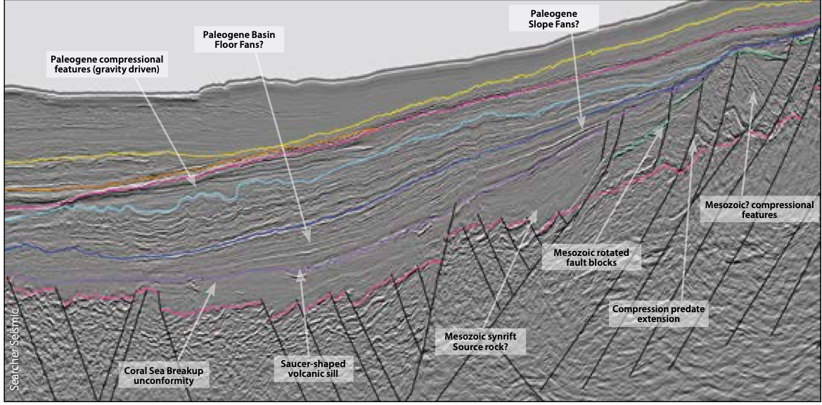
Seismic markers and geophysical interpretation
Key plays identified in Papa New Guinea
Related Articles