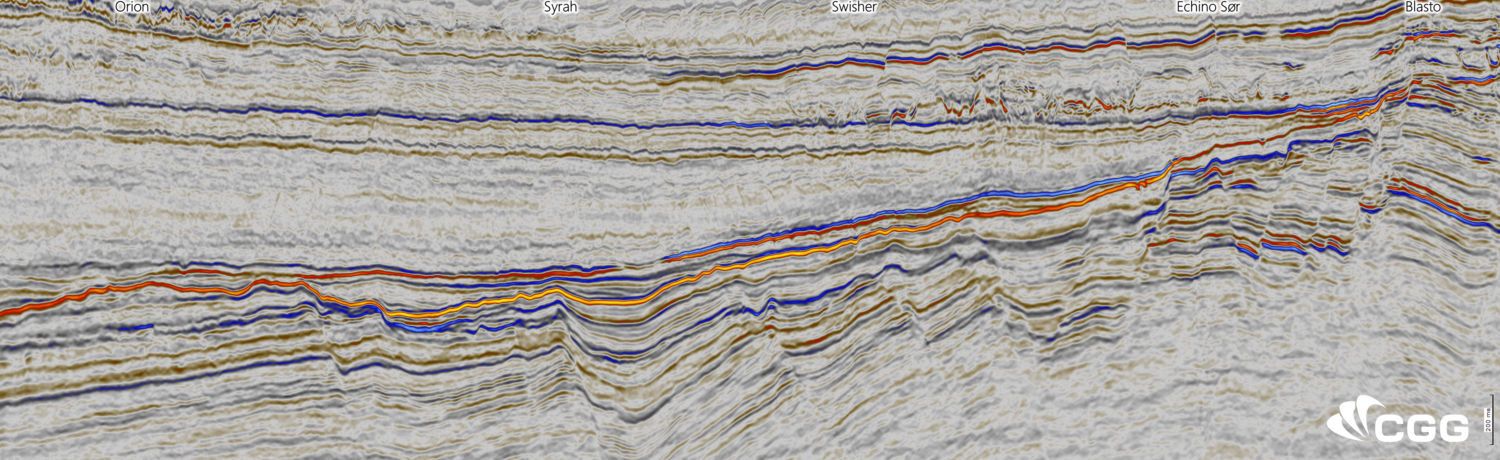
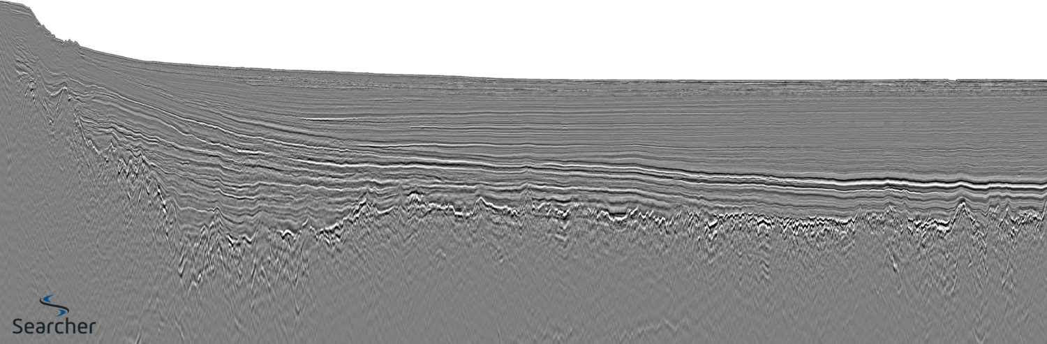
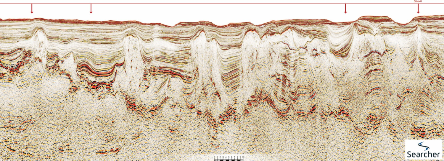
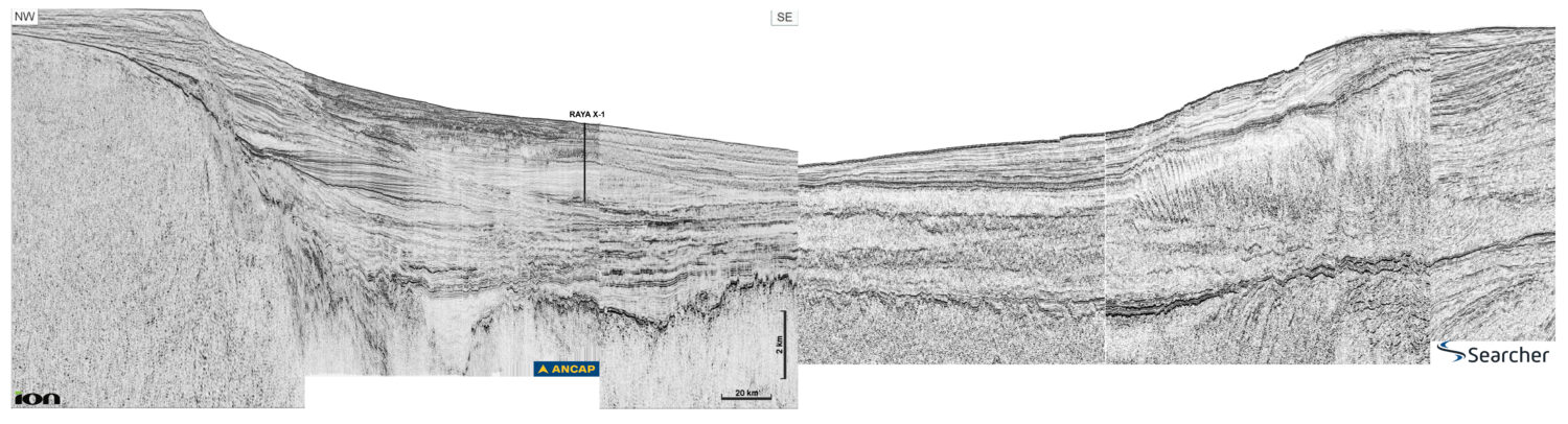
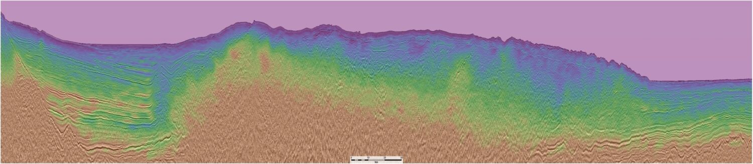
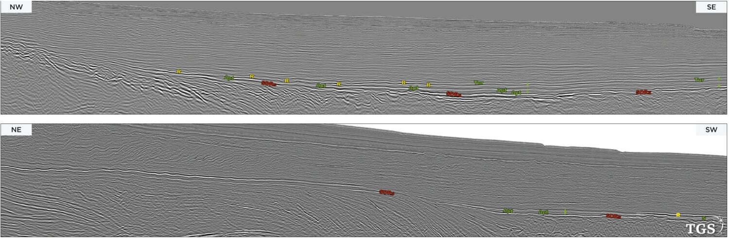
Discover

Exploration opportunities in the Gambia and Senegal

Credit: TGS, GeoPartners. Connecting the shelf to the deepwater A flurry of hydrocarbon exploration activity continues in The Gambia and Senegal, and it is fuelled by drilling successes. The Gambia,…

Energy opportunity: Offshore Jamaica

Figure 1: Generalised map showing the Walton Morant Licence area, the identified prospectivity, well locations and seismic coverage. Geoseismic cross-section A–A’ is shown in Figure 7. Figure 2: A prominent…

Offshore Oman: stunning hydrocarbon geology from a closing ocean

Location map showingposition of composite line. Searcher.   Offshore Oman Unexplored and tantalisingly prospective. The Eastern Oman Mountains are widely known as an ophiolite range of rugged and dramatic beauty,…

Northern North Sea: a dual-azimuth solution

Figure 1: Overview map.The Northern North Sea is very active for oil and gas exploration with several commercial discoveries made over recent years. CGG’s Northern Viking Graben (NVG) multi-client survey…

From agua caliente (‘hot water’) to aceite caliente! (‘hot oil!’)

Please note: due to online file size limits we have had to scale down the resolution of this foldout. You can find the higher resolution version on pp42-46 of GEO ExPro…

A Straightforward Workflow for Monitoring CO2 Storage

Estimating and appreciating the distribution of injected CO2 allows better understanding of the reservoir and identifies potential gas migration. Using PaleoScan™ provides a fast method from seismic conditioning to carbon…

AI seismic interpretation for a better, more sustainable tomorrow

Figure 2: Base map showing the location of the Southern North Sea study area used throughout this project. A catalyst of change for net-zero How can state-of-the-art AI tools be…

Explore the Mid North Sea High

MNSH PRIME 3D is a multi-client new acquisition program from ION Geophysical that covers approximately 11,700km2 of the UK Continental Shelf (UKCS). ION Geophysical’s MNSH PRIME 3D MNSH PRIME 3D…