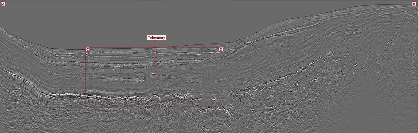
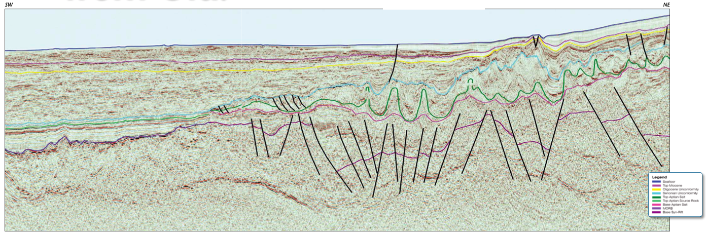
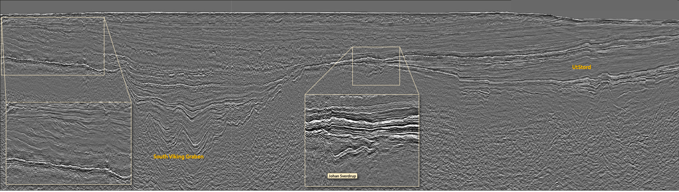
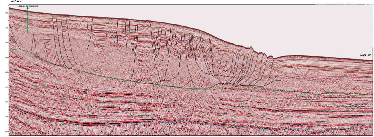
Petroleum potential on the offshore Namibe Basin
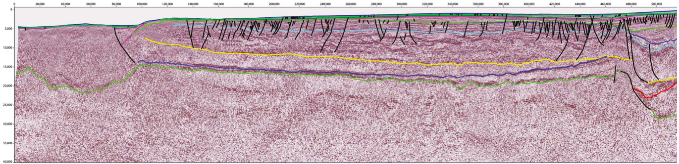
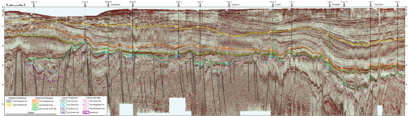
Location map with position of PGS regional 2D MultiClient surveys, the highlighted location of main seismic image and distribution of main salt and volcanic centres. Evolution, geology and prospectivity of…