Unlocking Gulf energy: The impact of advanced seismic technologies on exploration
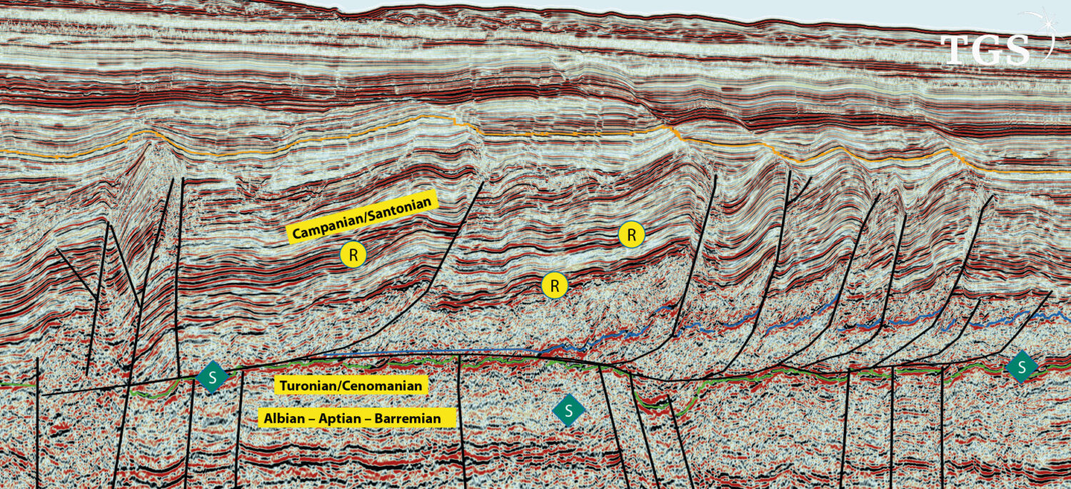
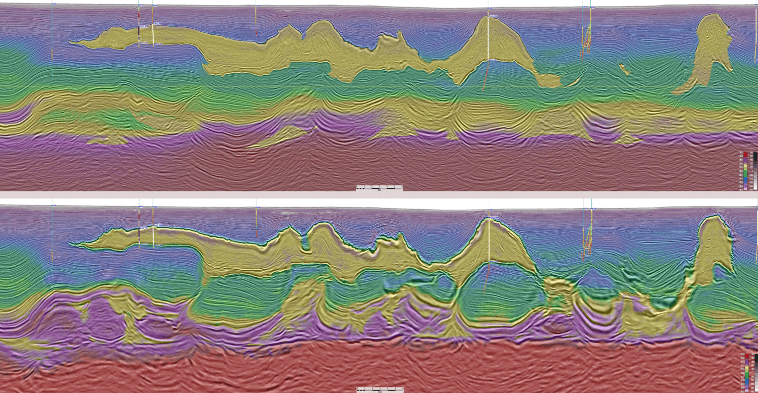
Finding treasures beneath the waves: The role of advanced seismic technologies in the Gulf of Mexico The Gulf Of Mexico (GOM) has long been a cornerstone of America’s energy landscape,…