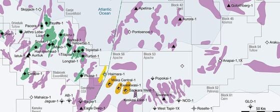
Guyana–Suriname: The Hotspot That Keeps on Giving
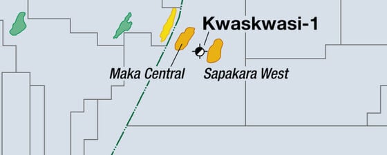
Patterns are emerging in the Guyana-Suriname hydrocarbon hotspot as further successes are announcement – indicating an even more promising future for oil and gas exploration in the region. Building on…