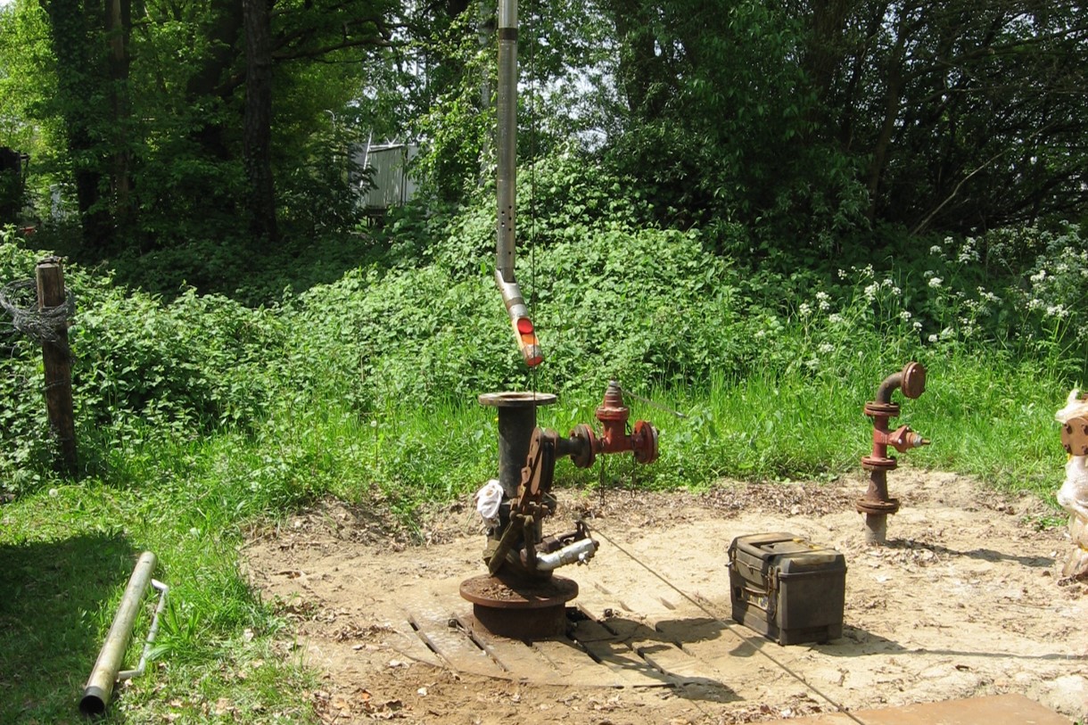
Do you want to do a local geological reconnaissance for your project through looking at a previously drilled well onshore UK? Be prepared to enter into a long email conversation and weeks of waiting before being sent the logs at a cost of £130.
That is the reality in the UK, as laid bare by Alex Dickinson and Mark Ireland from Newcastle University in an article published in the Geoscientist Magazine this week.
What is behind the finding of the researchers from Newcastle, and how does the UK compare to other North Sea countries?
The most important reason for the lack of clarity as to where to go for geoscience data is that it is currently managed through a whole spectrum of websites, portals and archives by a number of different stakeholders such as the NDR, the Marine Data Exchange, the UK Onshore Geophysical Library and the BGS. And whilst data is freely available in one, the other introduces charges for only a scanned copy of an old report.
Where are the hot plays across the NCS? Attend our NCS Exploration – Recent Discoveries Conference 8 & 9 June in Oslo and learn about the following exciting wells and fields from the operators themselves:
Toppand, Apodida, Røver Nord, Dugong Tail, Segment D, Hamlet, Talisker East, Rolvsnes, King/Prince, Warka, Wisting, Salina, Bask, Rødhette, Isflak, Snøfonn Nord, Skavl, Mugnetind, Lyderhorn, Gomez, Tyrihans Ile North, Bergknapp & Fenja.
In addition, there will be talks about frontier exploration in the Norwegian Sea, a debate on source rocks and implications on hydrocarbon generation and much more.
Using the British Geological Survey as an example, the authors write: “Due to the complexities of ownership and confidentiality, few BGS datasets can be downloaded. Many datasets lack detailed metadata, so lengthy correspondence is needed to establish what data exist and whether their confidentiality period has expired.”
At the same time, the authors do acknowledge that many of the stakeholders in the field of geoscience data dissemination are trying their best to streamline data availability. However, as long as this work is being done in a siloed way, with different organisation relying on different sources of income, it is hard to see how incremental changes can make the whole system more efficient in the end.

Dutch data
The authors make reference to the situation in the Netherlands, where the NLOG portal enables rapid download of digital logs for all released wells, including geothermal wells.
However, even though access to data from individual wells is certainly easy and free in the Netherlands, it also needs to be said that NLOG could do with an upgrade when it comes to the ability to perform analytics on hundreds of wells. As pointed out in this article published last year, a group of users did raise awareness to the lack of big data analytical capabilities of NLOG.
Danish data
In Denmark, the situation is comparable to the Netherlands, where the the GEUS portal hosts both geothermal and onshore/offshore hydrocarbon exploration wells. However, in contrast to the Dutch, the Danes charge for digital data even though the composite logs are free.
Norway
Where both onshore and offshore subsurface well and seismic data are available through one portal in Denmark and the Netherlands, the situation in Norway is similar to the UK with more of an onshore/offshore split in data providers. For the offshore, NPD Factpages host a large variety of offshore well data in a very structured way. However, it must also be added that for the access to digital logs one needs to be a member of Diskos, which comes with a price tag if you are not affiliated to a university or research institute.
A great overhaul?
To overcome the hurdles present in the current way of disseminating subsurface data in the UK, in their Geoscientist article Mark Ireland and Alex Dickinson make a reasoned case to migrate all UK data from both the onshore and offshore to one platform.
At the same time, it is clear that as long as each country keeps organising data in their own way, and as long as costs are associated with even the provision of fairly basic data such as well logs, there is also a long way to go not only for the UK.
In that light, initiatives such as EMODNET, where a range of geoscience data from European countries is hosted in one platform is a step in the right direction. However, when looking at the pre-Quaternary geological map of the North Sea (see above), it becomes obvious why merging national datasets comes with a whole new dimension of harmonisation!
HENK KOMBRINK