4D Seismic – Status and Future Changes Part II: Future Challenges
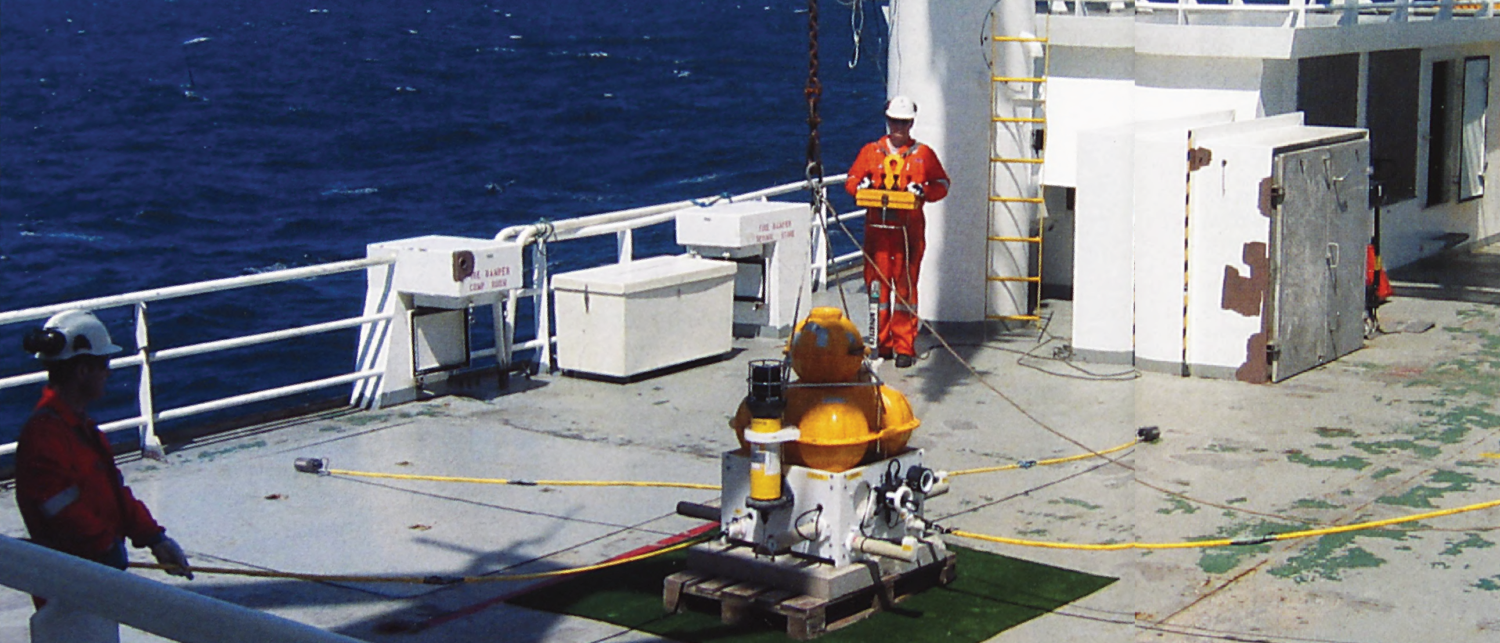
Seismic monitoring is an important technology in the effective exploitation of reservoirs in existing fields. The successful further uptake of 4D technology requires extensive training of dedicated personnel, while the…