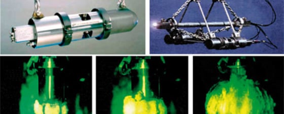
This second article on marine seismic sources summarises salient points on marine air-gun arrays and their radiation characteristics. In the first article in this series (GEO ExPro Vol. 7, No.…
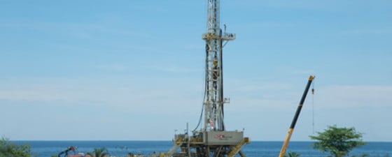
In Brunei, Shell has an ongoing programme drilling into the reservoir from below. Drilling, completing and producing an upside-down well, however, poses a number of interesting questions. The independent Sultanate…
This series on marine seismic sources will summarize salient points for geoscientists who need to sharpen their rusty skills in seismic source technology. It will also discuss the effect seismic…
Exploration and beyond is the philosophy behind WGP, a small independent geophysical company dedicated to developing solutions and services towards the next generation of energy supplies. In these days of…
Installing a Life of Field Seismic system on Ekofisk will help understand reservoir depletion and ensure future production wells are drilled where there is still oil left. ConocoPhillips, operator of…
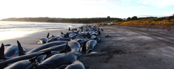
The 1956 documentary The Silent World by Jacques-Yves Cousteau wowed audiences with its vibrant depiction of aquatic life. But the Silent World is far from silent. Sound is signal or…
An analogy with bat technology makes it easier to understand seismic imaging of the subsurface. However, a bat’s sounds transverse a homogenous medium, while seismic waves in the earth are…
Robert van Eykenhof and Etienne Wildeboer Schut, Fugro-Jason, and Vincent Aubin,
One of the major challenges in understanding the nature of the subsurface is to accurately depict geology when data are sparse. By combining well logs and seismic data, seismic inversion…
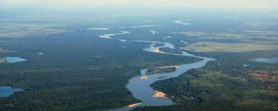
A new spin-off from HRT Petroleum, South America’s largest service company, HRT Oil & Gas, is staking their fortunes deep in Brazil’s Amazon Jungle. “With Brazil’s prolific offshore fields and…
Jim Morse and Dimitri Massaras, Computational Geology Inc.
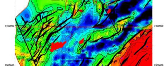
Complete dip and image analysis improves structural interpretations and reduces risk. Is your seismic fair or poor? Are your structures complex? Are your reservoirs sub-thrust, sub-basalt, sub-salt, or pre-salt? Are…
Tron Kristiansen, Olav Barkved, Martin Landrø and Lasse Amundsen
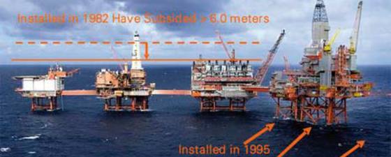
This article discusses the linkage between 4D seismic responses and geomechanics. Exploitation of this relationship has helped reduce development costs and maximize recovery from the compacting Valhall reservoir. The 4D…
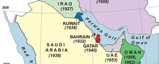
Flashbacks on the first discoveries of oil fields in the Middle East. 1908 (May 26): Masjid Sulaiman field (Masjid Sulaiman-1 well), southwest Zagros basin, Iran (Persia) by the Concessions Syndicate…