Company news

Paleogeography and business

“The production of paleogeographic maps is an economically useful exercise for consultancy companies such as ours”, says Andy Horbury from Cambridge Carbonates. His company has been involved in constructing, editing, and selling paleogeography maps of the Arabian Plate for over…

Advances in survey design

The traditional model of survey design uses a survey design tool to create geometry which is passed to a different program – often Excel – to estimate cost. Iterating to find the most cost-effective survey design using this approach is…

Developments in seismic data processing techniques

Dedicated software programs employ several techniques, including non-linear traveltime tomography, land-specific FWI, bending ray Kirchhoff migration, anisotropic depth imaging, and horizon-consistent velocity modeling, to achieve obtaining accurate earth models.  The near-surface model estimation uses nonlinear tomography, which considers topography and…

From oil and gas to geothermal

Now known as S3 Smart Seismic Solutions, I met with Jean-Baptiste Chalvidan and Patrick Robert at the EAGE Annual in Vienna last week. “Compared to the years with CGG, where we mainly focused on services for the oil and gas…

Geothermal development programs in Alaska

Alaska’s Mount Spurr and Mount Augustine are two active stratovolcanoes closely monitored by the Alaska Volcano Observatory (AVO). Despite their geothermal potential, these volcanoes have yet to be fully explored or utilised for energy production. Geothermal energy is generated by…

Loke acquires deep-sea mineral licences in the Pacific Ocean

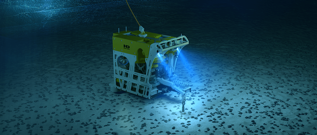
Loke Marine Minerals announced yesterday that it acquired UK Seabed Resources’ deep-sea mineral business. UK Seabed Resources (UKSR) holds a 100% interest in two deep-sea mineral licences located in the Clarion-Clipperton Zone (CCZ) in the Pacific Ocean, sponsored by the…

A Brand New AI Arena

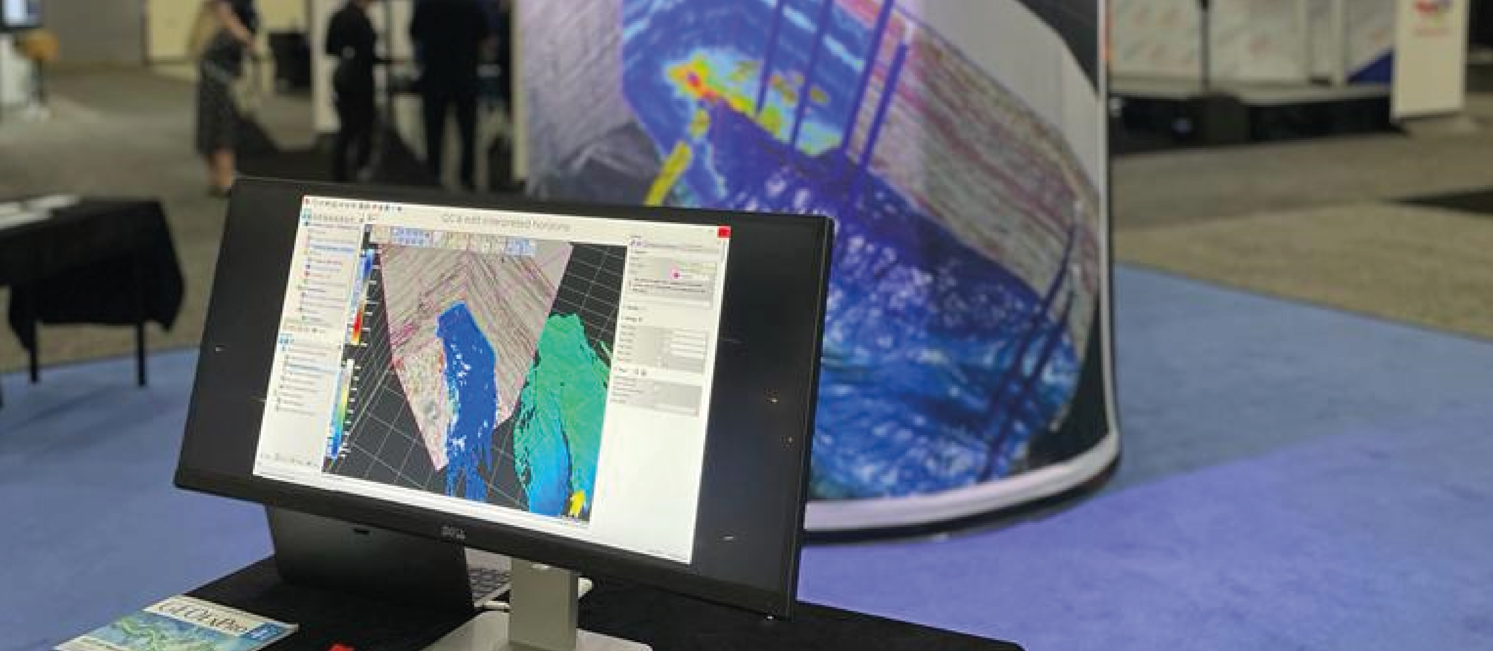
OpenMind is its new seismic interpretation platform, solely visualizing and operating in 3D view. The ambition is to create the best auto-tracker in the world and add AI routines to scrutinize the seismic for geological useful information. “GeoMind believes that…

PGS awarded 4D GeoStreamer monitoring surveys

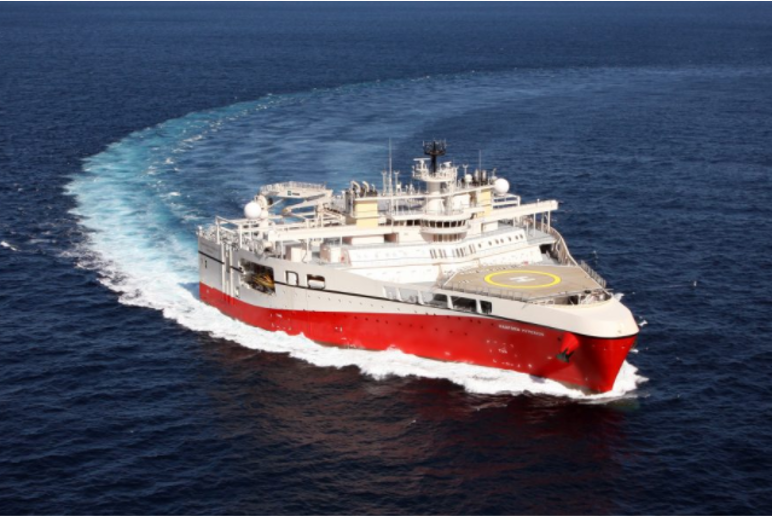
Yesterday, PGS announced the award of 4D GeoStreamer monitoring surveys over the Visund field in the North Sea and the Snøhvit field in the Barents Sea. Further, the company was recently awarded a 3D exploration survey over the Prinsen and…

Equinor and APT join forces in a R&D project

“How can we extract more relevant information that helps operators find and produce more oil and gas despite having access to fewer data sources? This is the challenge we aim to solve together with Equinor,” says Helge Nyrønning, CEO of…