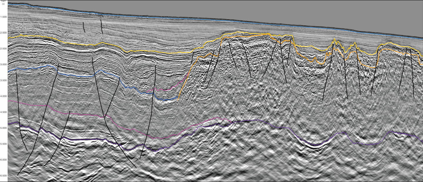
Quantitative interpretation reveals prospectivity of the Kwanza shelf, offshore Angola
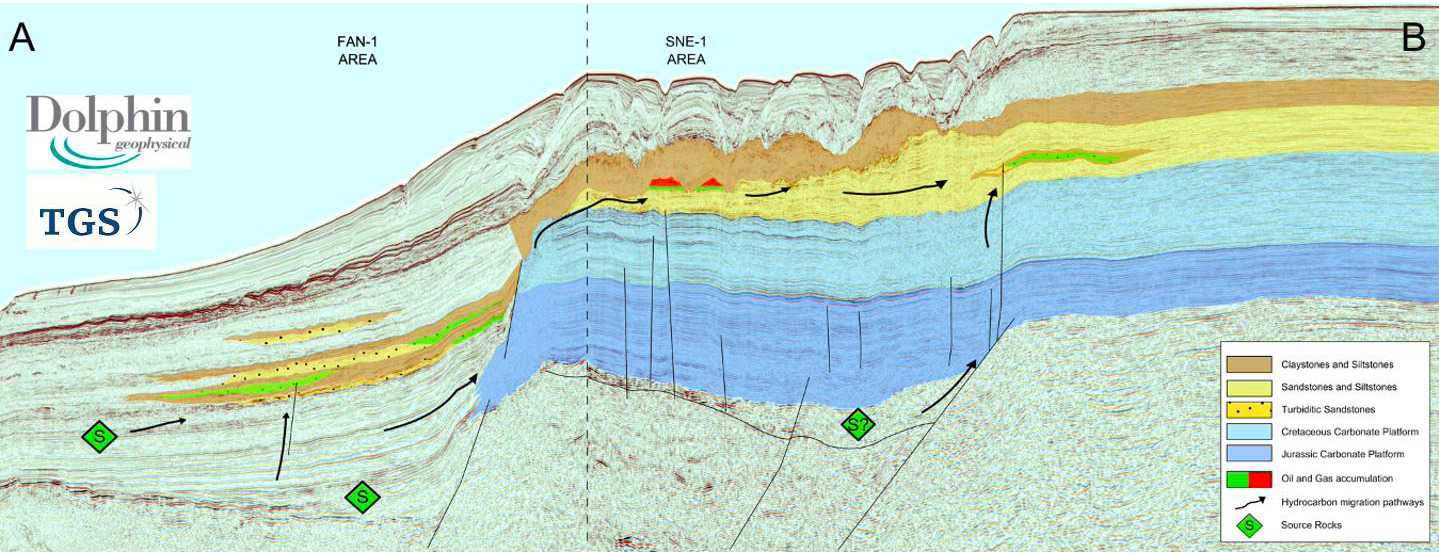
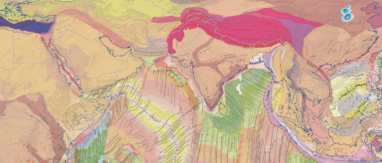
Location of the new PGS multisensor GeoStreamer survey over the Kwanza Shelf, Offshore Angola (orange polygon). The 2021 licence round blocks are shown in yellow. Kwanza shelf potential petroleum systems…