High-Resolution Model Building in a Full-Azimuth Nodal Survey
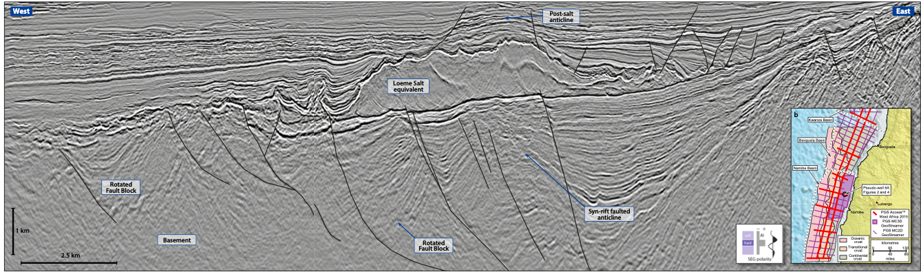
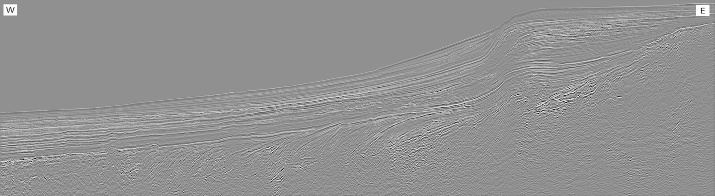
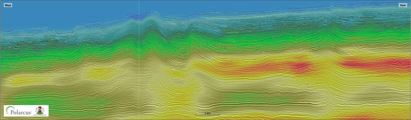
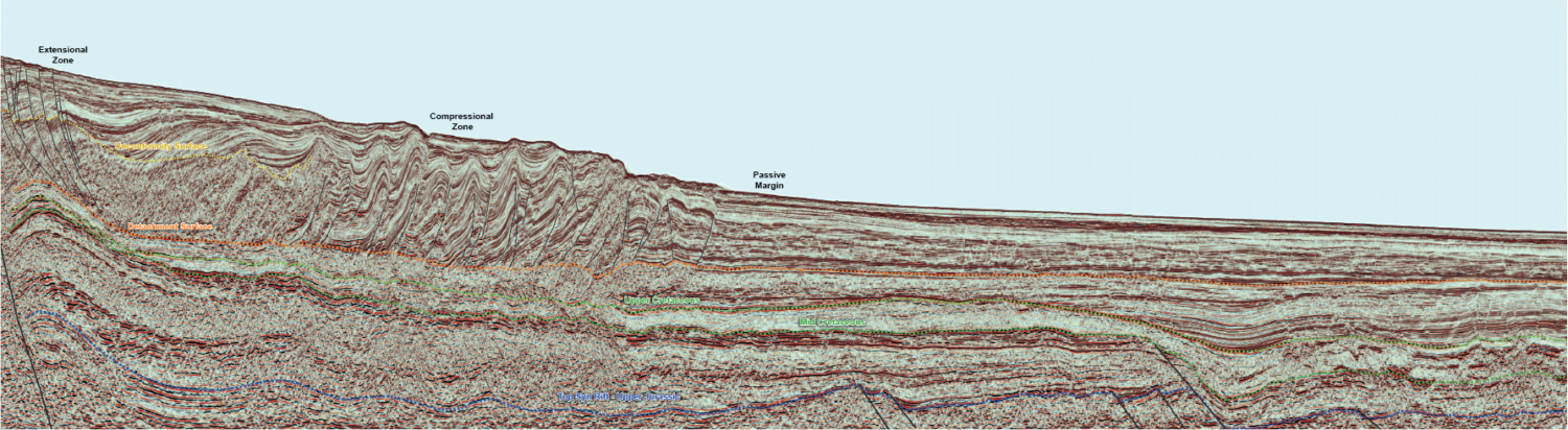
The velocity variation in the trench before and after the high-resolution tomography. Red line indicates the location of the line in Figure 2 on page 40. High-Resolution Image-Guided Tomography High-resolution image-guided tomography…