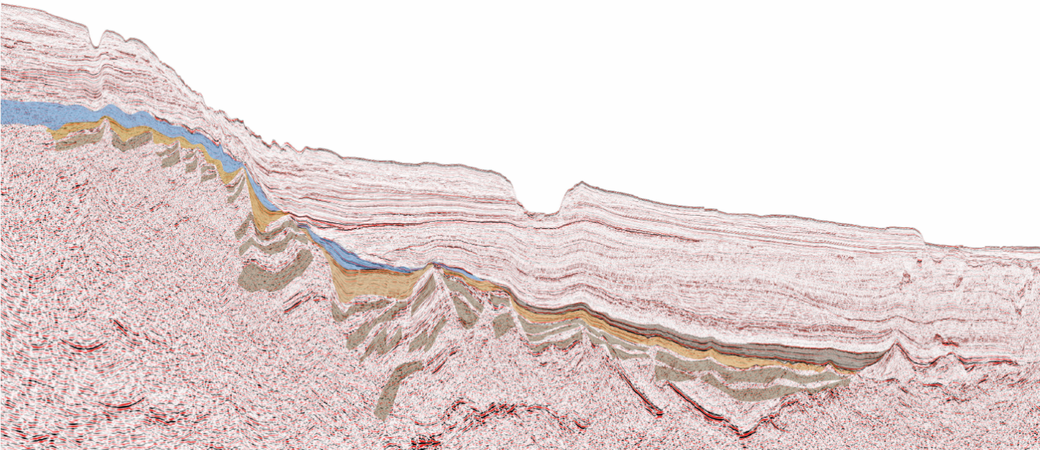
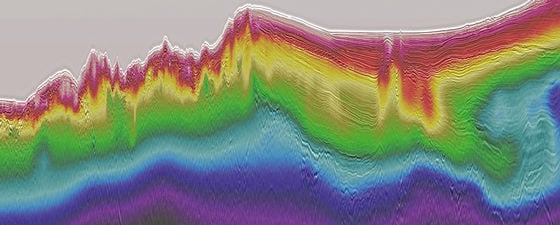
Discover

Exploring West of Shetland: the northern Flett Sub-Basin

Prospectively in the West of Shetland region  Prospectivity redefined with recent 3D seismic in this underexplored region. Since 1972, 151 exploration wells have been drilled West of Shetland and discoveries…

The East Shetland Platform

PGS has provided a number of extractions from its 3D multi-client library on the ESP to provide well ties for the UK Oil and Gas Authority’s recently acquired 2D lines, which will be…

New light on Northern Argentina

Map showing Argentina deepwater survey outline. A hibernating giant? The new long-offset data reveals insights into crustal architecture. Northern Argentina has a continental volcanic rifted margin, segmented by major transfer…

Brazil regional prospectivity: highlights for future rounds

Prospectivity highlights of open blocks in Brazil main basins Foz do Amazonas Basin Foz do Amazonas is the most northern of the Brazilian equatorial margin basins. The ANP 11th Round…

Revealing future opportunities within the Southern MSGBC Basin

Exploration Potential in the Southern MSGBC Basin A new study reveals the plays and opportunities that abound in this exciting region This article supplies the geological rationale for the review,…

Australia: New imaging of the vulcan sub-basin

The Vulcan Sub-basin The Cygnus survey is located in the southern Vulcan Sub-basin, one of the most prospective areas of the Bonaparte Basin, containing oils that are normally very light.…

Refining exploration opportunities in Mexico

Detail a). For location see main seismic panel above. Detail b). For location see main seismic panel above. Detail c). For location see main seismic panel above. Detail d). For…

Sergipe Basin: Undrilled potential surpasses giant offshore discoveries

Figure 1: Spectrum seismic data and 2017 blocks. Figure 2: Constrained gravity model. Sergipe Basin Potential Revealed Integration of key data has resulted in a better understanding of the petroleum…

High-Resolution Model Building in a Full-Azimuth Nodal Survey

The velocity variation in the trench before and after the high-resolution tomography. Red line indicates the location of the line in Figure 2 on page 40. High-Resolution Image-Guided Tomography High-resolution image-guided tomography…

Priority onboard

Onboard processing: field geophysicist Andrey Seliverstov utilising the interactive map view. How to break the stereotype A priority service without compromise. Sometimes in an industry, we have to ask ourselves:…

Regional play types in the Mexican offshore

Map showing the extent of the Gigante seismic in relation to the main geological features of the Mexican Gulf of Mexico. Structural styles and regional play types New seismic data…

The Namibe Basin: a clearer Image

Figure 1: Map of the Namibe and Benguela Basins and location of PGS survey. (Source: PGS) The Namibe Basin Compelling seismic evidence for a significant unexploited hydrocarbon province located offshore…