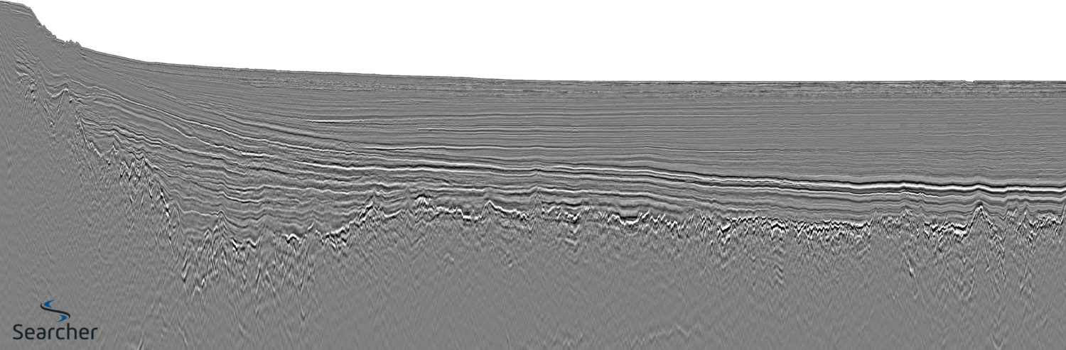
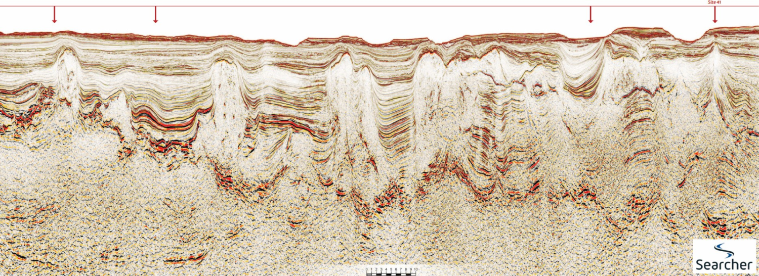
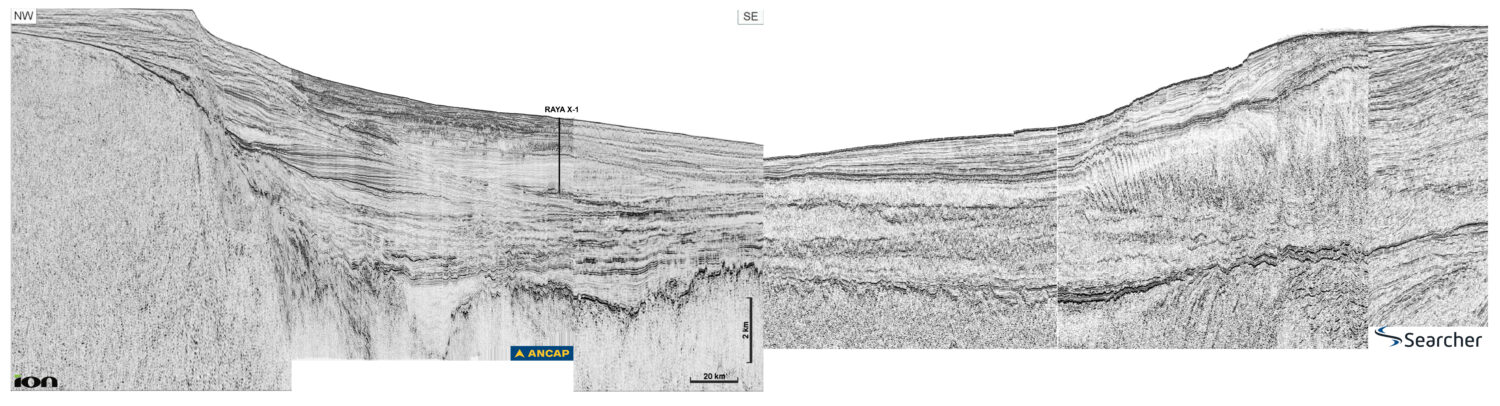
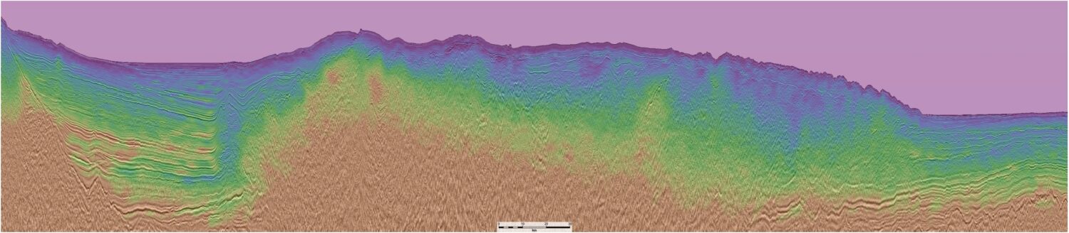
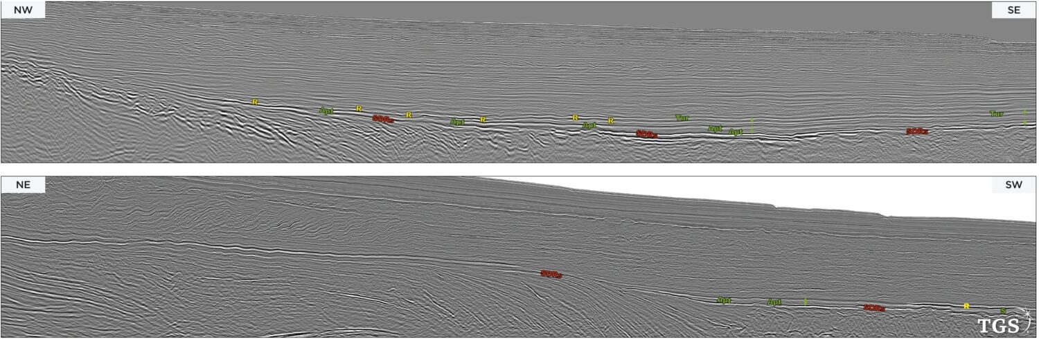
Exploration Opportunities

Northern North Sea: a dual-azimuth solution

Figure 1: Overview map.The Northern North Sea is very active for oil and gas exploration with several commercial discoveries made over recent years. CGG’s Northern Viking Graben (NVG) multi-client survey…

From agua caliente (‘hot water’) to aceite caliente! (‘hot oil!’)

Please note: due to online file size limits we have had to scale down the resolution of this foldout. You can find the higher resolution version on pp42-46 of GEO ExPro…

Improving 3D images

A deep, structurally complex carbonate reservoir offshore Philippines has been imaged with great clarity and resolution, despite the severely rugose water bottom and stratigraphically complex overburden. This has been accomplished…

AI seismic interpretation for a better, more sustainable tomorrow

Figure 2: Base map showing the location of the Southern North Sea study area used throughout this project. A catalyst of change for net-zero How can state-of-the-art AI tools be…

Can sparse OBN equal savings and data quality?

Geology The study area is in ultradeep waters (2 km) of the Santos Basin and the geology is comprised of a 2–4 kilometer-thick sequence of mostly clastic sedimentary rocks overlaying…

What does it mean when bottom simulators are black swans?

Map showing location of Searcher Seismic’s coverage of newly acquired and reprocessed datasets in the Gulf of Papua (GOP). The foldout line is located within the GOP.   Bottom simulating…

True hybrid 3D

  Figure 1: Map showing the location of the Quad 35 survey in the Norwegian North Sea and long arbitrary line through the main discoveries inside the Quad 35 survey…