Most subsurface teams aren’t making the most of their data
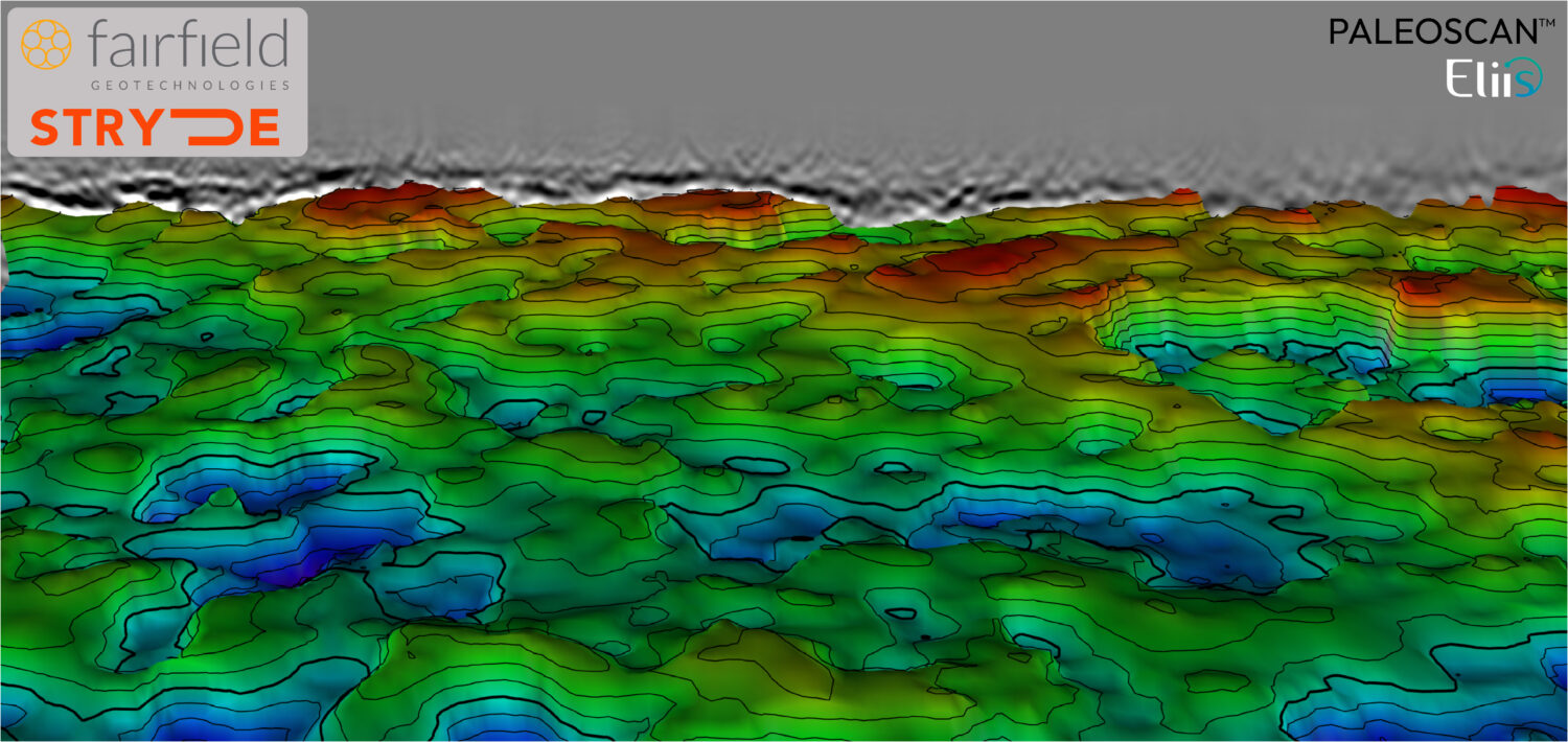
Figure 2: Using EarthNET and its Data Lake facilitates harmonization, indexing, and contextualization of the data, making it analytics-ready. Energy companies have invested heavily in data over the past several…