Patrick Coole, Matthew Tyrrell and Christine Roche. Petroleum Geo-Services.
Survey areas of the reprocessed 1996 data (yellow outline) and 2014 GeoStreamer® data (purple). Offshore Ivory Coast: reducing exploration risk In 1996 PGS acquired a 1,600 sq.km 3D survey over…
Bent Kjølhamar, Christopher Sæbø Serck , Camilla Broch Pedersen, Reidun Myklebust, TGS
The Hoop Basin The integration of several data sets will be essential for hydrocarbon exploration in the Hoop Fault Complex area of the Barents Sea. The Hoop Fault Complex has…
Bent Baumbach, project development, TGS - Bedford, UK
Left: Location of the Faroe Shetland Basin (FSB) dataset. Right: FSB dataset line location map. West of Shetland: improved sub–basalt imaging Newly reprocessed long offset seismic data from the Faroe…
This 2D long-offset line is orientated north-east – south-west and has an overall length of 85 km from the hangingwall of the Coffee Soil Fault through the Roxanne-1 well over…
To see the full seismic lines please download our PDF for the print issue available through this link: GEO ExPro Vol. 10 No. 3 New insights with broadband data New seismic…
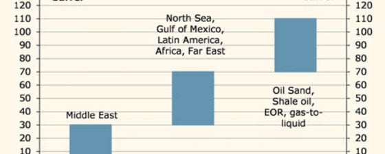
A severe slowdown in global economic activity will cut oil demand markedly and thereby trigger a sharp fall in oil prices. During the financial crisis the Brent oil price fell…
M. Jameson, S. Ragbir, C. Loader, T. Bird, C. Smith & C. Reiser (PGS)
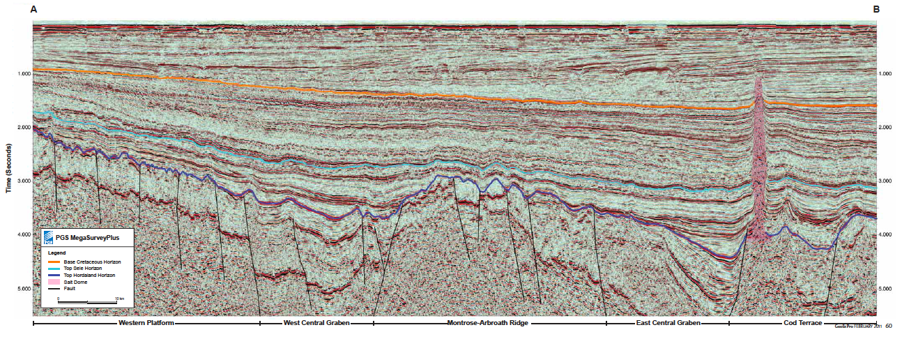
Recent Discoveries in The Central North Sea The Central North Sea (CNS) has been a focus of hydrocarbon exploration and production for decades. Even now the area remains a hive…