Into tidal deposits? Check this publicly available dataset from Germany
German website provides raft of sedimentological, geomorphological and bathymetric data on German Bight.
Together with a consortium of academic and industry partners, the EasyGSH-DB project aims to generate quality assured high-resolution reference data sets for the area of the German Bight by using available measurements, hydrodynamic simulations and analysis and make them accessible in a simple way.
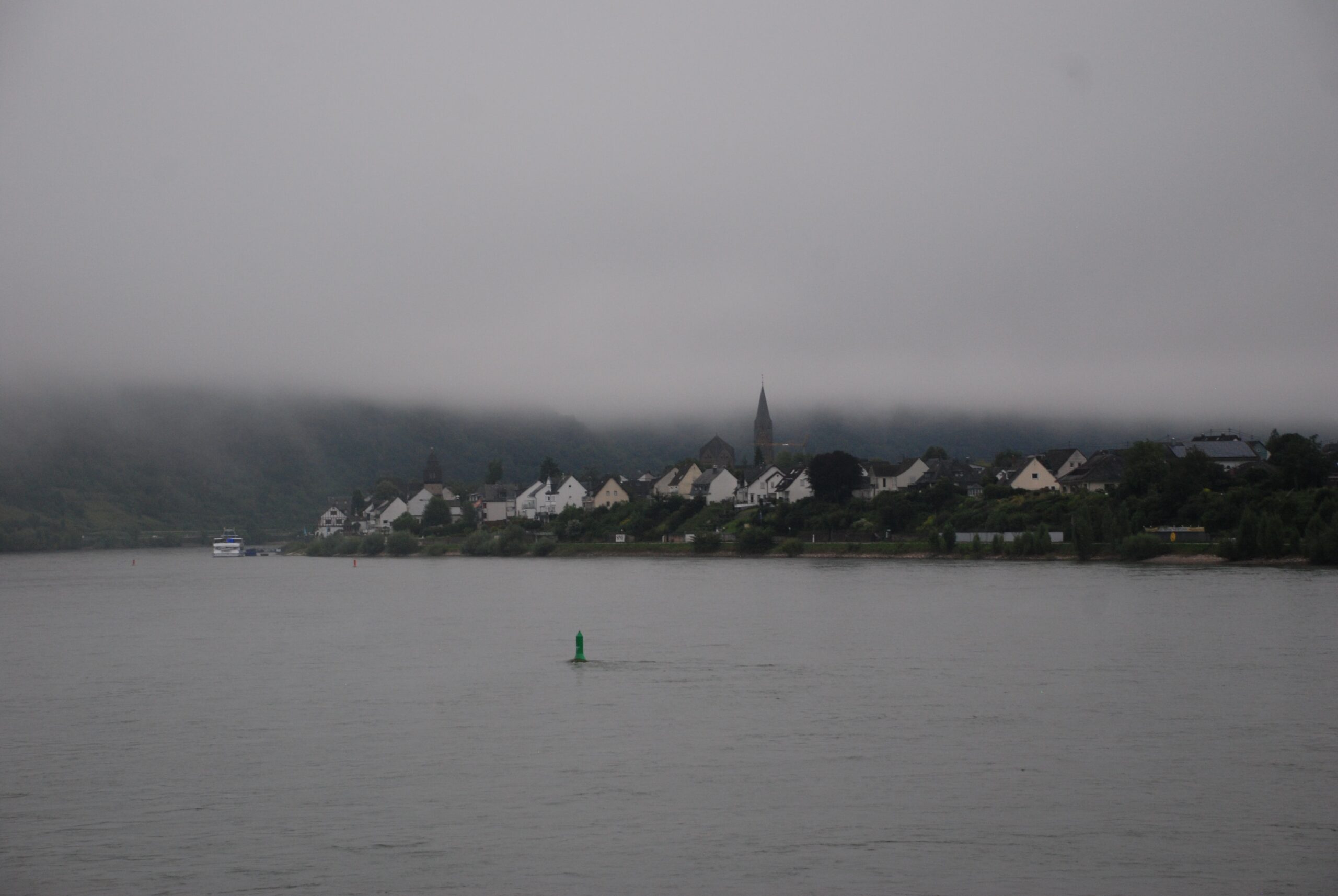
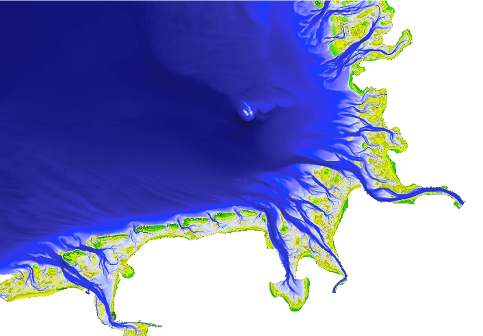
The German Bight is the German coastline area of the North Sea and is a place of significant tidal activity because of the large tidal range.
Data types
The work focuses on geomorphologic data for bathymetry, sedimentology and data for hydrodynamics, salt and sediment transport. In addition, porosity data are also available for three moments in time (1996, 2006 and 2016), enabling the study of changes over time.

The project structure of EasyGSH-DB therefore offers possibilities for a large number of stakeholders from administration, maritime industry, research, non-governmental organizations and interested population to work proactively on product development of high-resolution, quality-assured databases.
For the subsurface community, the publicly available datasets offer potential to be used as reservoir analogues, training images or general educational material to show the variability of these tidal nearshore deposits.
HENK KOMBRINK
Website: https://mdi-de.baw.de/easygsh/EasyEN_index.html#home