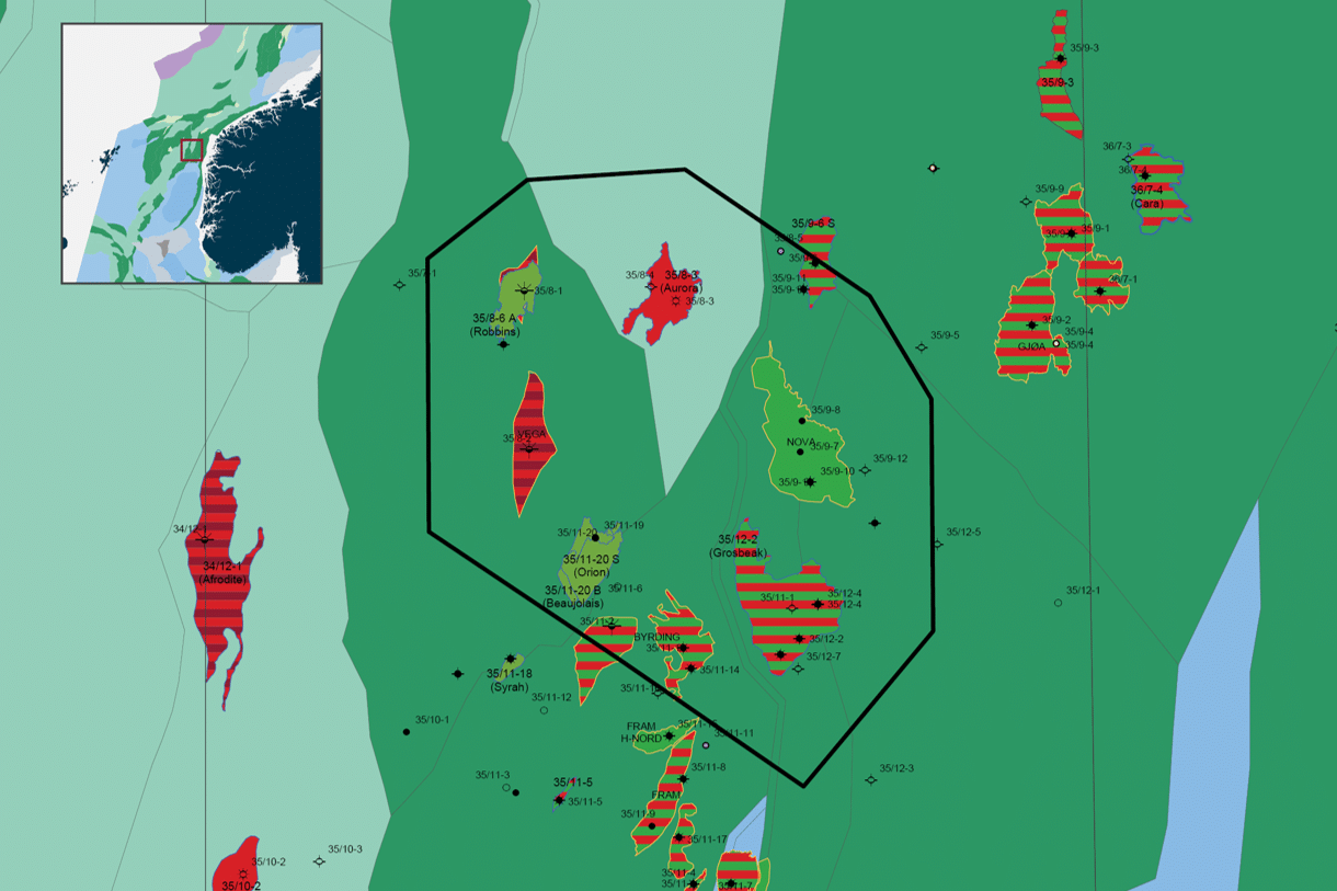
The LumiSeisTM Norwegian North Sea Quadrant 35 Hybrid MC3D project is 800 km2 and covers a mature area that includes the fields Nova and Vega (under development), Aurora and Grosbeak. The new ultra high density data will improve the imaging of Upper Jurassic sands and the complex faults for which this area is known. The data will be ideal for oil companies looking for additional resources close to existing infrastructure.
MCG has been the operator of the project in Quadrant 35. CEO Tom Wolden says that they are considering the hybrid concept to have great commercial potential both in Norway and internationally, and anticipates these type of projects will fit well with the company’s growing data offering. Wolden is pleased with the interest from trusted suppliers in connection with the project in Quadrant 35. Project partners are BGP with UHD streamer and source, Magseis Fairfield with “state of the art” nodes, Reach Subsea with leading ROV node management, and DUG for processing of both the streamer and node data. It has been a technically challenging project, with the addition of necessary Covid-19 measures, and we are pleased to see the acquisition has been done in a secure and safe way.
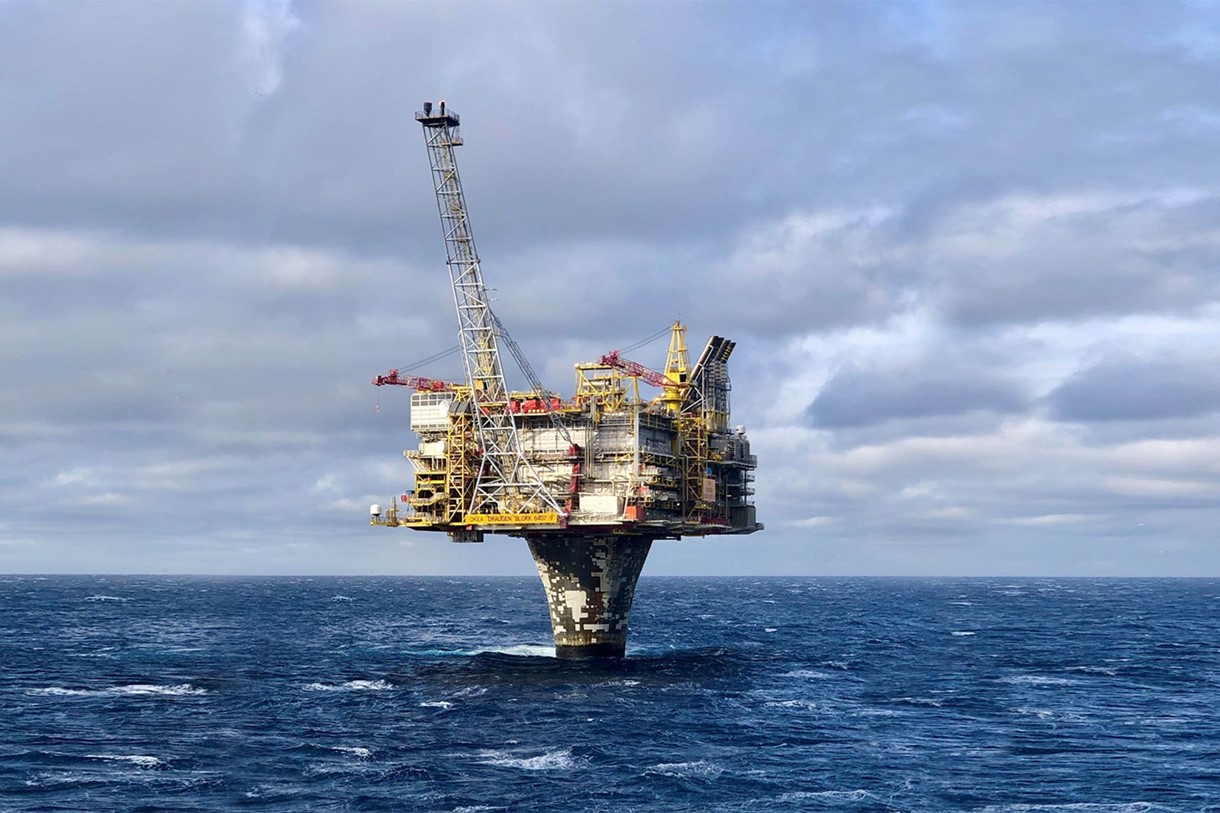
The LumiSeisTM Quad 35 Hybrid MC3D data acquisition was successfully completed October 2, 2020. Fast Track data is expected to be ready by January 2021. Final PSDM volumes will be available in June 2021.

Historically, the seismic node and streamer industry have been working on separate fronts to better improve their solutions, while competing for the same markets. The LumiSeisTM hybrid concept from Seismic Partner has been developed on the basis that none of these technologies are ideal on their own. The hybrid concept aims to combine and jointly harness the potential of these two proven methodologies.
LumiSeisTM is an optimized combination of streamers and seabed nodes. This unique approach has allowed all the data in this hybrid project to be acquired simultaneously and with the same source. Resulting in an efficient acquisition, both operational and cost-wise, ensuring high quality data with a competitive price. This hybrid method allows summation of the ultra high density streamer data with the node data. In addition, the node data will be used to define an improved velocity field through ‘Full Waveform Inversion’ (FWI). This in turn will provide better imaging of the subsurface, unlocking new opportunities in exploration and production.
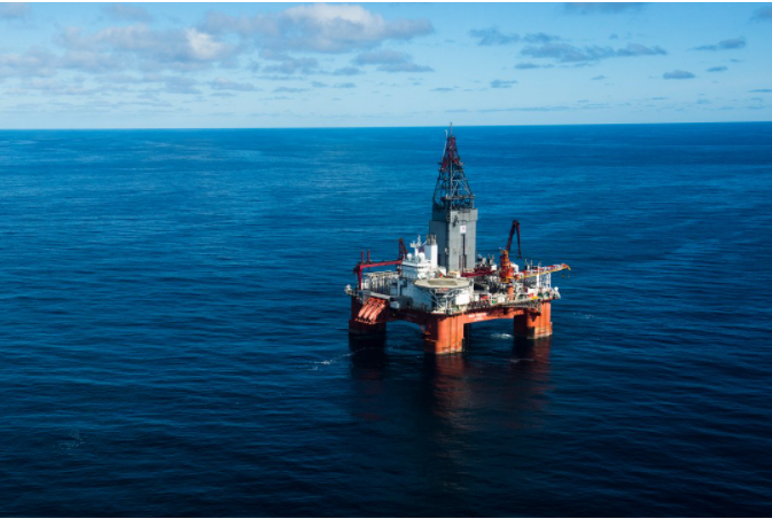
ROV’s has been used for accurate positioning of all the nodes on the seabed. The nodes were laid out both regionally, for improved velocity model, and densely for improved illumination and fold over the Nova and Aurora discoveries. This accurate ROV-based node handling also makes the LumiSeisTM seismic ideal as a baseline for future 4D surveys across producing fields, says the Seismic Partner CEO Kristen Berli.
PRESS RELEASE