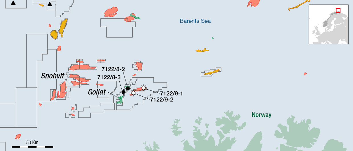
During the Triassic, the Barents Sea was an area characterised by huge sedimentation rates, as the basin was surrounded by the large continental landmasses of Pangea.
Albina Gilmullina from the University of Bergen investigates this episode of rapid sedimentation and basin evolution and presented about her research during the latest Winter Conference organised by the Norwegian Geological Society.
Only during a period of five million years, up to three kilometres of Lower Triassic sediments were deposited in the east of the Barents Sea basin, where the depocentre was located at the time. With continued sediment supply, the depocentre migrated to the northwest though time, resulting in the Upper Triassic being relatively thin in the east and quite thick in the west.
Modelling of sediment supply
After having mapped the overall Triassic sedimentary basin fill across the Barents Sea Basin using regional seismic lines, Albina subsequently ran a model by using parameters such as catchment area, temperature, water discharge and relief to test how much sediment was supplied to the basin throughout the Triassic. This enabled her to draw some interesting conclusions.
Early Triassic – plenty of accommodation space
Comparing the predicted amount of sediments supplied to the basin during the Early Triassic to the reconstructed volumes of Lower Triassic sediments from seismic data resulted in a good match between the two. This must be seen as an indication that the basin was underfilled at the time.
However, looking at the Upper Triassic succession, a mismatch between the observed rock volume derived from seismic and the predicted sediment supply to the basin was seen. Albina showed that a much larger amounts of sediments must have been supplied to the basin than what she reconstructed from seismic interpretation. How to explain this?

Sediment bypass
The most likely explanation for the mismatch between the observed “small” amounts of Upper Triassic strata in the seismic data and the larger amounts of sediments thought to be supplied to the basin at the time is that sediments were bypassed into adjacent basins such as the Svalbard and Sverdrup Basins towards the northwest.
Supported by detrital zircon data
This conclusion is further corroborated by detrital zircon age spectra of Upper Triassic sandstones in the Svalbard and Sverdrup Basins. Local sources to the latter two basins cannot explain these zircon ages, but an overspill of sediments that are characterised by such a mineral assembly can.
In conclusion, using a combination of seismic interpretation and modelling has led to a better grip on Triassic basin fill in the greater Barents Sea area, which resulted in an improved understanding of sediment dispersal and hence reservoir distribution patterns.
HENK KOMBRINK
See also this Basin Research paper from Albina Gilmullina about seismic interpretation of the Triassic basin fill in the Barents Sea.