A New look into the Norwegian Barents Sea
Interest in this huge geological province has grown strongly over the last few years following the development of the Snøhvit field, the discovery of the Nucula field earlier this year and a genuine belief that there is more oil and gas to be found where both multiple source rock horizons and reservoir layers have been proven.
The larger part of the Norwegian Barents Sea represents one of the last true frontier areas offshore Norway. Many play concepts are not yet completely understood or fully tested, even in the mature areas where, for 0example, both the Goliat and the Nucula discoveries came as a total surprise to large segments of the industry.
A number of the licenses awarded in the 19th round (2005) are away from the main infrastructure and will certainly yield some exciting and valuable information. The 20th round is approaching fast, and based upon new seismic data there is plenty of exciting opportunities to look forward to!
Fugro is very active in the Arctic region and maintains a special focus on the Norwegian Barents Sea, Russian Barents Sea, Kara Sea and the Laptev Sea. For the second year running we are in the Norwegian Barents Sea acquiring new seismic data for the Norwegian Barents Sea Regional dataset (NBR). The NBR complements the NSR dataset in the North Sea and the MNR dataset in the Norwegian Sea, which are all designed to best suit the requirements of the the geological settings of the different regions..
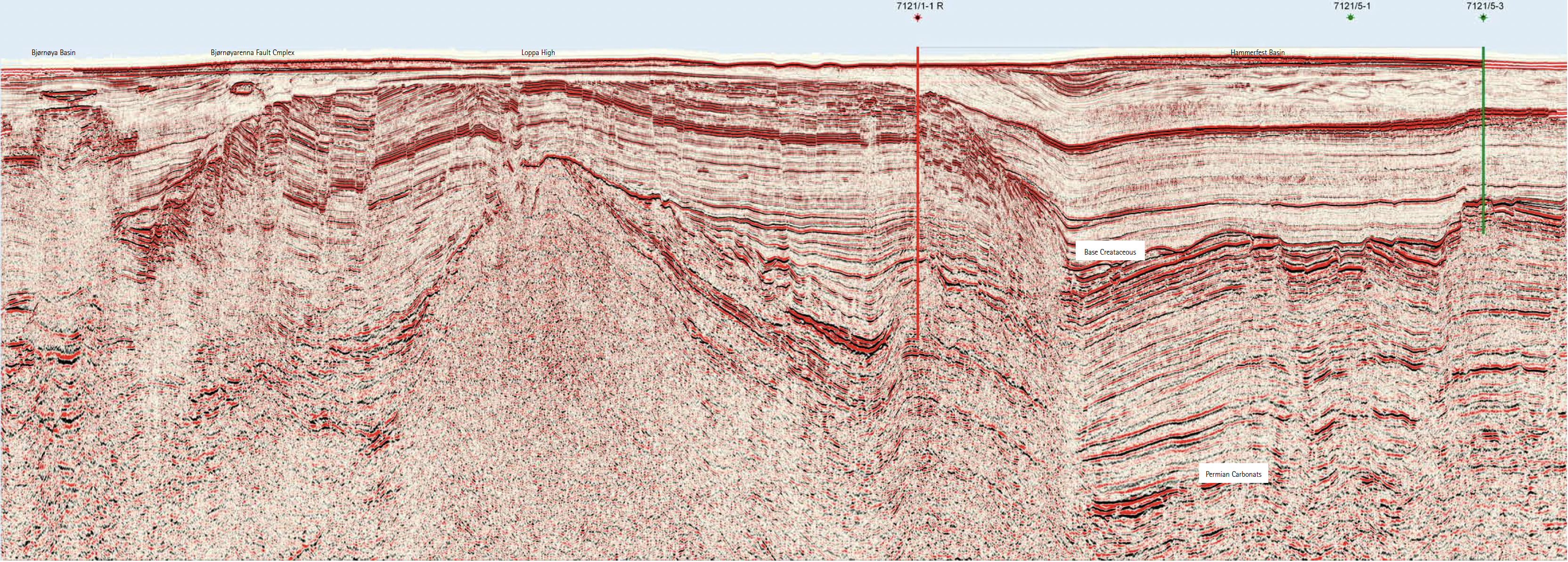
Both the geological and geophysical challenges in the Norwegian Barents Sea are substantial. Salt in the Nordkapp Basin, severe erosion and uplift, high velocity just below the seafloor, scour marks by the last advances of the glaciers as well as possible gas-hydrates and permafrost are just some of the issues. All of these increase the difficulty in imaging the subsurface in a satisfactory manner.
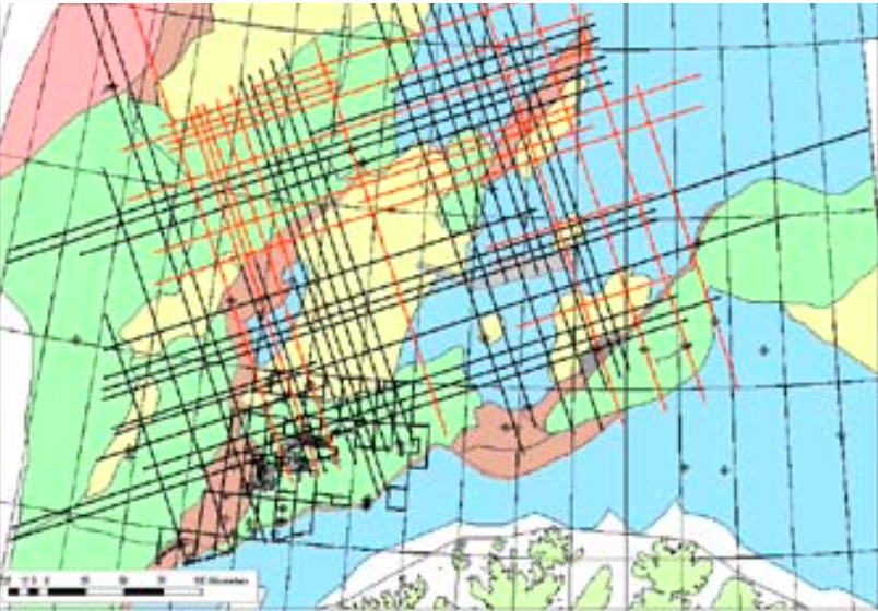
In the Barents Sea we are acquiring the NBR data in a set orientation to best image the structures (see map). The NBR seismic grid will be filled in during the coming years. Initital acquisition is thus focused on building a regional framework that will evolve into a denser grid suitable for lead and prospect evaluation.
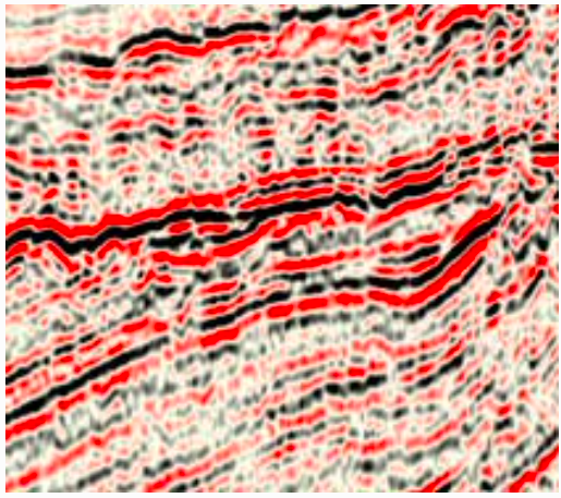
The new NBR data has been acquired with an 8,000m streamer and 10-second record length and is the subject of an ongoing inversion project. Older 2D data can often give unreliable results. However, the outlook with the NBR dataset looks very promising and certainly shows the benefit of acquiring long offset, high quality seismic data.
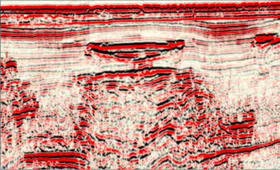
Through the inversion project, Fugro is challenging some of the traditional ideas that inversion can only be used in mature areas with many wells and a 3D dataset. Even though we are in an exploration setting, the inversion products from the 2D dataset will prove extremely useful and will help focus on targets and prospect identification. Feasibility studies have shown that with the use of inversion we can already evaluate anomalies in seismic data and, for example, distinguish between Carnian sandstone and shale within the Snadd formation in the Upper Triassic. This new project will develop this further and lead to a better understanding of regional distribution, not only in the Triassic but also in the Cretaceous.
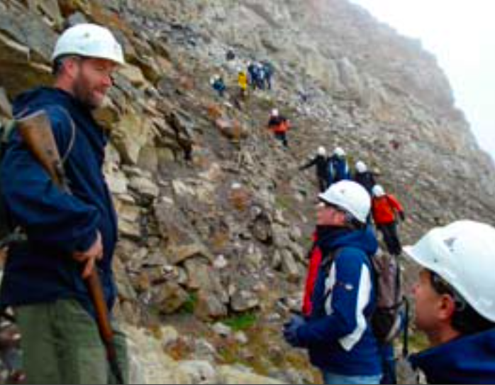
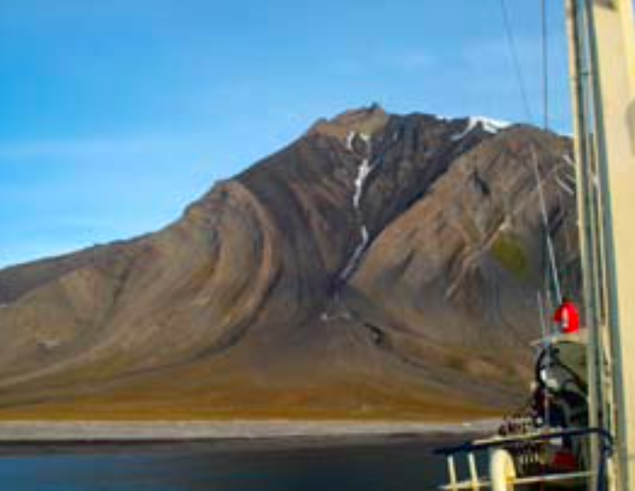
The geology of Svalbard is especially suitable as a reference for the geology of the Norwegian Barents Sea and also serves as a perfect analogue for sequence stratigraphy all over the Norwegian Continental Shelf and other Arctic countries. Fugro has therefore organized a field trip to Svalbard this year. We have invited participants from industry within an arena that is perfect for discussions between different disciplines and regions.
The challenges in the Norwegian Barents Sea are huge, but, looking at the potential rewards in this under-explored region, can you afford missing out?


