For some people, the pandemic came at the right time. That certainly applies to wellsite geologists Amin, Ammar and Rafi representing BITCAP, a new start-up that released its first commercial version of geosteering software about 8 months ago. Before Covid hit, they were simply too busy working in the Alberta oil patch, where they had been drilling wells since graduating from university in 2006.
“Only when our agendas were wiped and little new work came in, there was time for other things to do”, says Ammar when I bumped into them at the IMAGE conference yesterday.
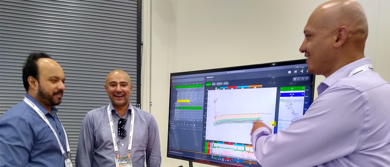
In the fast-paced drilling environment, these guys had numerous other responsibilities to manage. They were increasingly frustrated with the software they were using on the rig, especially the abundance of redundant operations and the unnecessarily complex steps for simple tasks. Visualizing that information in one view was an equal challenge.
On top of that, during the pandemic, there was one geological formation that became a drilling hotspot in Alberta – the Clearwater Formation. This Lower Cretaceous sandstone, which is not deeply buried and unconsolidated, became the center of activity because drilling it is relatively cheap, and fast. Penetration rates of up to 400 m per hour can easily be achieved in this formation, putting even more strain on the ability to do all the routine tasks of a wellsite geologist. At the same time, geosteering is important in this formation because of the presence of calcite stringers against which the drill bit tends to deflect.
So, Ammar, who has had a strong interest in software development from a very young age, met Ajaz Karim, BITCAP CEO and former geology and GIS professor. They decided it was time to develop something new, a geosteering software with GIS functionalities together with striplog features and they quickly came up with the first version of what is now Pathfinder.
But once they had the prototype, the job of getting the software to market began.
Earlier this year, the team went to their first conference, the Geoconvention in Calgary. “We clearly experienced some skepticism, but it seems like we have overcome that hurdle in the Alberta community already, says Amin. “And that is because we speak the language of the people who work in the field.”
As the company expands, both Amin and Rafi continue doing their roles as wellsite geologists, while Ammar and Ajaz have focused on software and business development. The drive, joy and energy of these guys is infectious, and I am looking forward to following their expansion into the upstream sector.