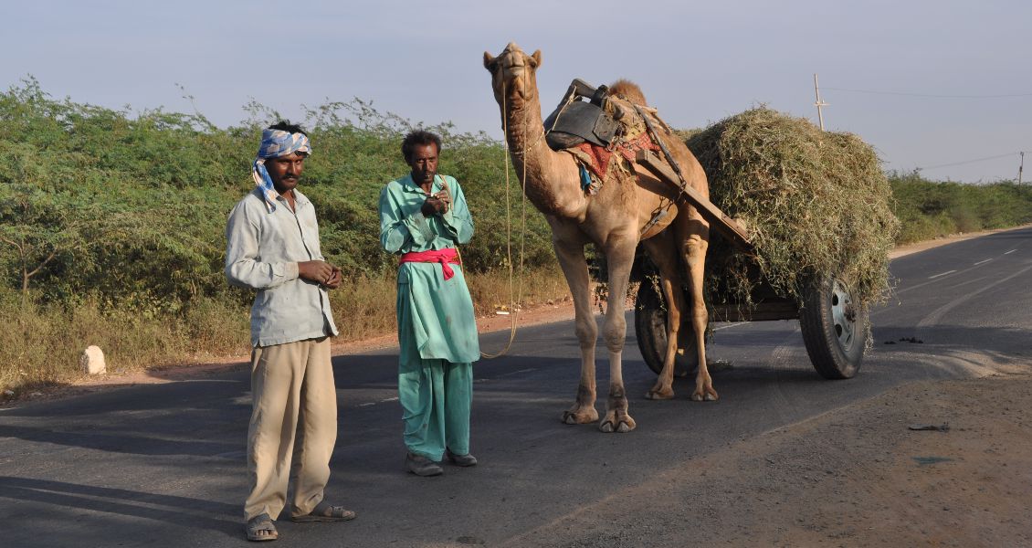
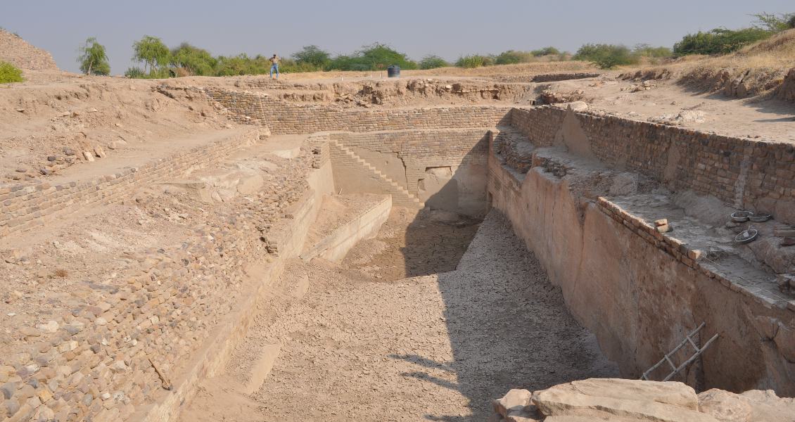
The state of Gujarat has an area of 196,204 km2 (sixth largest state in India) and a population of over 60 million. Although not as popular a tourist destination as Agra and Rajasthan, foreign visitors will find a great deal of history, culture and nature in Gujarat to enjoy. Mahatma Gandhi (1869-1948), India’s independence movement leader, was from the state.
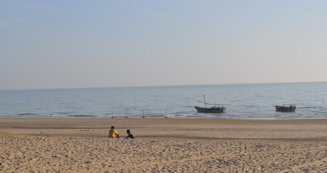
With a coastline of 1,600 km dotted by 41 ports, Gujarat faces the Arabian Sea and has enjoyed a long history of marine commerce and navigation. The Periplus of the Erythraean Sea, written in the first century by an unknown Greek sailor, mentions Gujarat. Geographically, Gujarat can be divided into mainland Gujarat in the east, with the Kutch Peninsula to the north-west, and the Saurashtra or Kathiawar Peninsula to the west. The Gulf of Kutch lies between the two peninsulas.
 Geological and structural map.
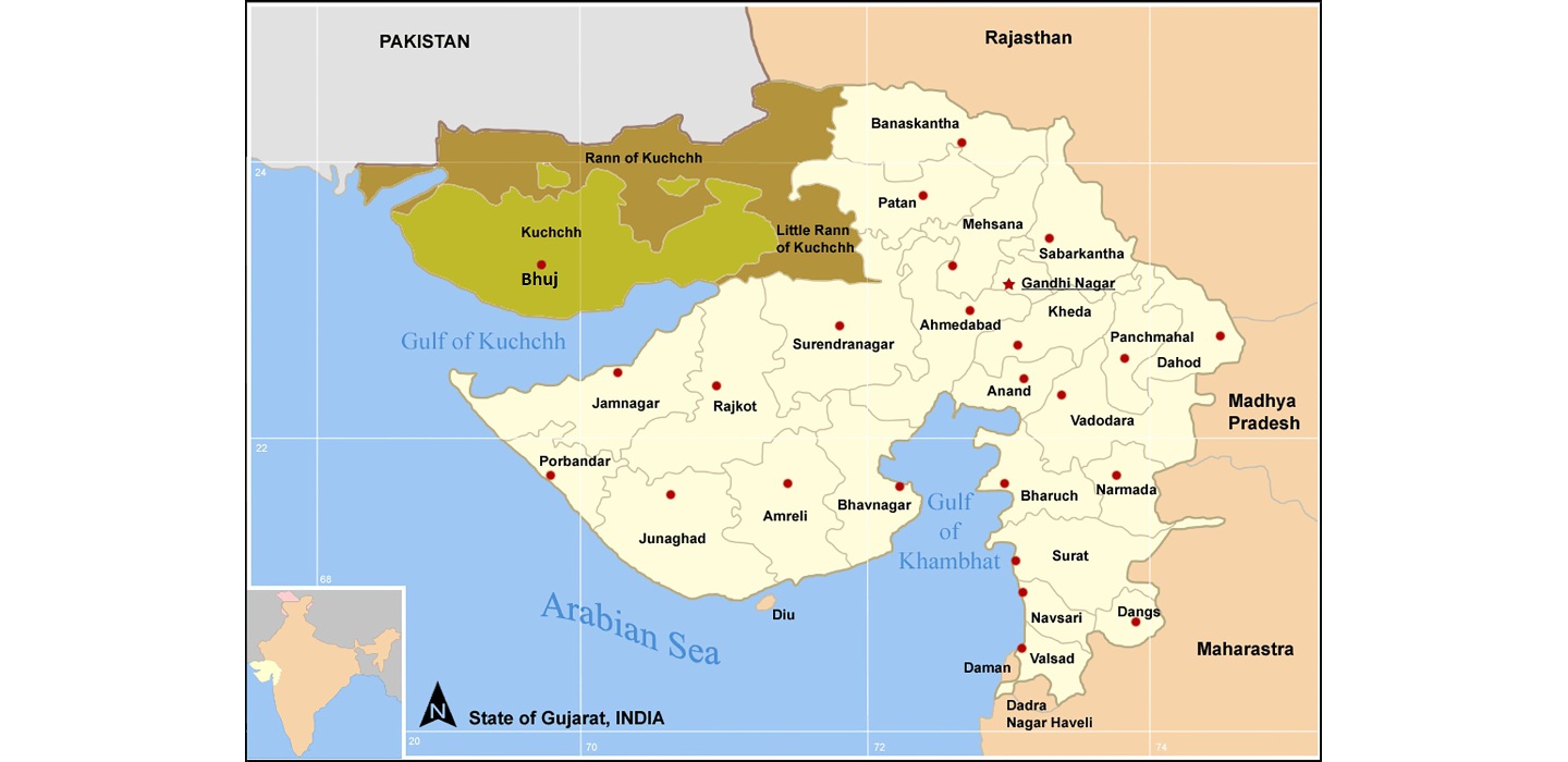
Hoptspot Map: The state of Gujarat in western India: the Peninsula of Kutch is highlighted in brown and green. Gujarat’s capital is Gandhi Nagar although its largest city is Ahmadabad.
The Kutch Peninsula
Kutch (often spelt Kachchh) refers to both the Kutch Peninsula (which occupies about one-fourth of Gujarat State) and the Kutch District, which, with an area of 45,652 km2, is the largest district in all India, although only two million people live in it.
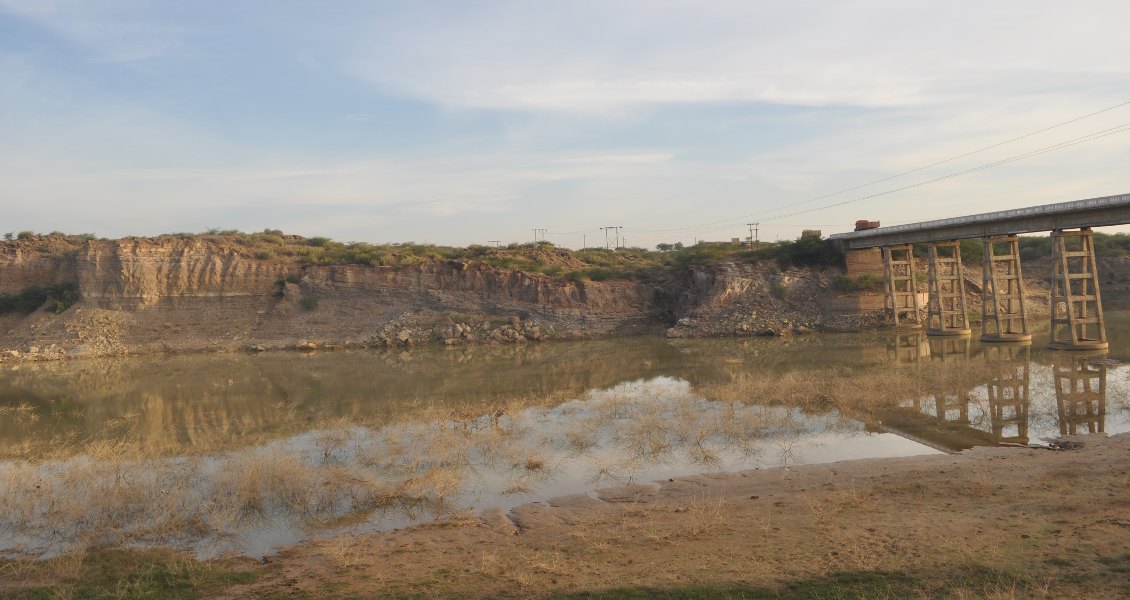
The Sanskrit word ‘kachch’ means a land which is intermittently wet and dry, referring to the normally dry and hot land of Kutch being drenched by summer-time monsoon rains. Average annual precipitation is about 380 mm, all of which comes from the southwest monsoon rains, peaking in July. There are 97 streams and rivers in Kutch, which eventually flow into the Arabian Sea. Dozens of small and large dams capture the monsoon runoff. The average temperature is around 30°C (90s°F) through most of the year except for the months of December to February when the temperatures are in the high 20s°C (80s°F).
Salt, cement, lignite and bauxite are the main mineral industries in Kutch. The area is famous for its textiles; fabrics, embroideries and cotton rugs are the major souvenirs that visitors purchase.
Kutch came to political prominence in the late 13th century as the Jadeja Rajputs founded a kingdom that lasted until India’s independence in 1947, although it was a British protectorate called the Princely State of Cutch from 1815 to 1947. The city of Bhuj is the major municipality in Kutch. Founded in the early 16th century by a local ruler Rao Hamirji, it has retained its capital position in Kutch to this day. The city has a population of about 150,000 people and is home to Krantiguru Shyamji Krishna Verma Kachchh University (founded in 2003 and named after an Indian liberation activist), which has a geology department. The oldest school in the town is Alfred High School, founded in 1870 and named after Queen Victoria’s second son, Prince Alfred.
Geology of Kutch
The Kutch Peninsula is essentially an east-west oriented rift basin bounded by the Saurashtra Horst (High) to the south and the Indus Plain to the north (in Pakistan). Within the Kutch Peninsula we find a diverse landscape of highlands or hills (uplifted fault blocks) and lowlands encompassing salt flats (Rann) to the north and east, grasslands (Banni) in the centre, and coastal plains to the south. The mud and salt flats include the Great Rann of Kutch in the north and the Little Rann of Kutch to the east of the peninsula, which are part of the much larger Thar Desert of north-west India and south-east Pakistan. These areas were submerged during marine incursions in the geological past but turned to desert as the sea transgressed and left behind Quaternary clay and evaporate sediments.
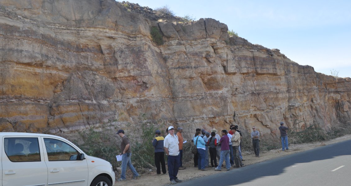
Geological outcrops found in the highlands are usually bounded by major normal faults. These outcrops attracted the attention of several British geologists during the 19th century as part of their mapping work for the Geological Survey of India based in Calcutta. Among these works, the most comprehensive and seminal contribution was the 294-page Memoirs on the Geology of Kutch written by A. B. Wynne in 1872 (reprinted by the Geological Survey of India in 2003). The colour geological map compiled by Wynne is still valuable.
‘Perhaps the most striking feature of the country is its sterility, naked rocky hills and sandy plains presenting in this respect a strong contrast to the more fertile portions of India; and yet parts of it are far from being unpicturesque, though its barrenness is heightened by the scarcity of trees and general absence of anything that can be called jungle.’ A. B. Wynne, Memoirs on the Geology of Kutch (1872)
Kutch represents a fossil rift basin (aulacogen) perpendicular to the strike of the West Indian margin. The oldest sediments in Kutch are late Triassic (Rhaetian) sands shed onto Precambrian basement rocks (these sediments were penetrated in the Banni-2 and Nirona-1 wells). The rifting was part of an initial fragmentation within Gondwana, a southern supercontinent which encompassed the present tectonic plates of India, Africa, Antarctica, Australia and South America. As rifting progressed and Kutch became part of the passive continental margin of western India, shallow marine sediments were deposited during Early-Middle Jurassic times, as recorded by the limestone and shale sediments of the Early Jurassic Jhurio and Middle Jurassic Jumara Formations. These sediments are overlain by the deltaic sand and mud sediments of the Jhuran Formation (Late Jurassic) and fluvial sand-mud sediments of the Early Cretaceous Bhuji Formation. Mesozoic sediments have a total thickness of over 3 km.
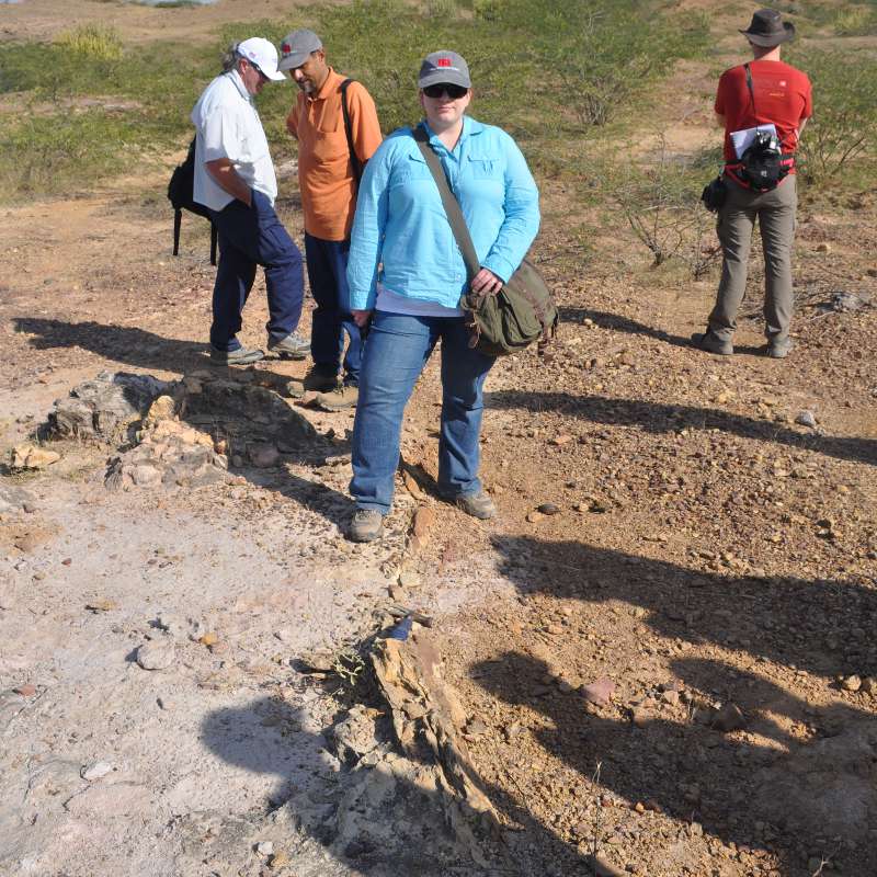 Sharp contact of the Pliocene-age Sandhan Formation (mainly grey sandstone containing fossil woods) and the Miocene-age Chhasra Formation (poorly fossiliferous, silty shales of marine shelf deposition) along a disconformity near the village of Mothala on Naliya Road. (Source: Rasoul Sorkhabi)Toward the end of the Cretaceous, at 66 Ma, continental flood basalts, the Deccan Traps, erupted and covered large tracts of central and western India. The thickness of these volcanic rocks in Kutch is not significant although there are outcrops of igneous intrusions which were possibly feeders to the Deccan Traps. The uplift and erosion at the beginning of the Cenozoic marks a major event in Kutch. The Paleocene rocks include laterites, bauxite and tuffaceous sediments (Madh Series). In the Early-Middle Eocene, marine transgression resulted in sedimentation of limestone, shale and marl (Berwal Series).
After a Late Eocene unconformity, shallow marine sediments (limestone, shale and siltstone) of the Bermoti (Oligocene) and Khari Series (Miocene) were deposited. Finally, Pliocene fluvial-deltaic sediments of the Sandhan (Kankawati) Formation as well as the Quaternary alluvial, coastal and evaporate sediments cap the Kutch basin.
Kutch is a tectonically active region. The most recent and tragic earthquake in the region was the Bhuj earthquake (magnitude 7.6) of 26 January 2001 that killed over 20,000 people. Previous earthquakes on record include the ‘Cutch’ earthquake of 16 June 1819 (magnitude estimated to be 7.8) and Anjar earthquake of 21 July 1956 (with a magnitude of 6.1).
Geotourism and the Oil Industry
Kutch indeed is a land of unique geologic outcrops dating back to 250 million years ago. The Jurassic-Cretaceous rocks not only contain important fossils including those of dinosaurs but also provide reservoir-scale views of corresponding subsurface rocks currently offshore the Kutch Peninsula. Kutch, therefore, has great potential for designating national geoparks for geologists, students and ecotourists. This could contribute to Kutch’s tourism industry and local economy as well as help preserve the precious geological outcrops which may be easily destroyed by mining and other human activities. This task, however, requires public education, government investment, better infrastructure, publicity as well as safety and security measures (both because of its arid conditions and being a border state with Pakistan).
For travellers (whether foreign or Indian) intending to see the geological features of Kutch, it is necessary to prepare well in advance and hire trusty guides, including a knowledgeable geologist who knows the landscape and geology of Kutch.
Although several onshore and offshore wells in Kutch have been drilled by India’s Oil and Natural Gas Corporation (ONGC) in the past, the efforts have not been commercially successful yet. India’s Directorate General of Hydrocarbons (DGH) has designated Kutch as a Category II basin, meaning that the basin is known for accumulation of oil or gas but there is no commercial production yet.
Further Reading:
Biswas, K.S. and Deshpande, S.V. (1970) Geological and Tectonic Map of Kutch (scale: 1 inch= 4 miles), ONGC Bulletin, v. 7, no. 2, pp. 115-123.
Biswas, K.S. (1982) “Rift basins in western margin of India with special reference to hydrocarbon prospects,” AAPG Bulletin, v. 66, pp. 1497-1513.
Biswas, K.S. (2005) “A review of structure and tectonics of Kutch basin, western India, with special reference to earthquakes,” Current Science, v. 88, pp. 1592-1600.
Mehr, S.S. (1995) Geology of Gujarat, Geological Society of India, Bangalore.
Swarna, K., Biswas, S.K., and Harinarayana, T. (2013) “Development of geotourism in Kutch region, Gujarat, India: An innovative approach,”
Journal of Environmental Protection, v. 4, p. 1360-1372 (Open access journal).


