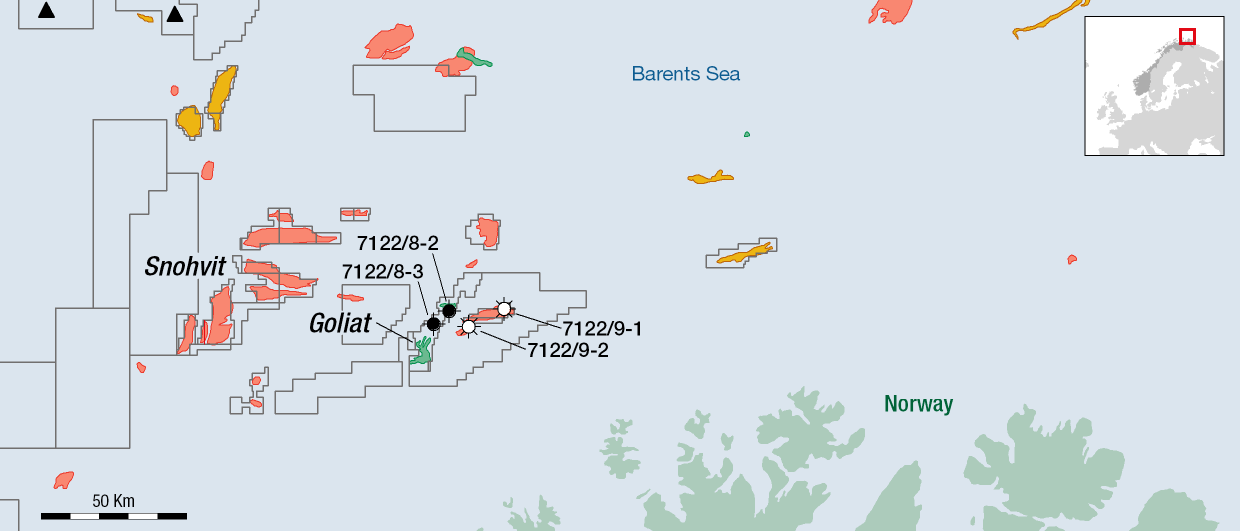
This story starts with the drilling of the 7221/12-1 Svanefjell well in the year 2018. A shallow target at a depth of around 550 m in Late Carnian to Early Norian Triassic sandstones, it tested a structural closure in the eastern part of the Loppa High that strongly supported a two-phase hydrocarbon system. However, the well only proved some gas and residual oil.
Yet, because the base peak in the seismic could subsequently be related to a paleo water contact after drilling of the well, the implication was that the structure had contained significant amounts of hydrocarbons at some point in time. In turn, this sparked the interest from Aker BP, asking the question where the hydrocarbons could have migrated to.

Regional seismic data clearly indicated a likely migration path towards the north, which subsequently made Aker BP to apply for the acreage (PL1026) in the 2018 APA Round. Awarded a year later to Aker BP and partners Equinor (30%) and Petoro (30%), work on the area really began.
The so-called Tromtind prospect, which seemed to be the best candidate as the recipient closure of hydrocarbon migration from the south, initially showed some positive indications through the presence of a flat spot and amplitude shut-offs at two levels. At the same time, there were some doubts, as there seemed to be a slight spatial mismatch between the expected reservoir location and the observed geophysical phenomena.
This story is based on a talk delivered by Are Osen (Exploration Manager Geophysics from Aker BP) at the NCS Exploration – Recent Advances in Exploration Technology Conference in May this year: High-Resolution Seismic Processing as Part of a Prospect De-Risking.
Ultimately, it was only legacy data the company had used, which had not been processed for the shallow zones Aker BP was now looking at. This initiated a targeted geophysical exercise in an attempt to further de-risk the prospect.
First of all, the company concluded that it would need a dedicated processing of the already existing PSTM 3D seismic data set in order to increase the resolution of the reservoir section and carry out a flat spot evaluation. In addition, there was the opportunity to also acquire a new seismic dataset that was specifically designed to map shallow targets: HalfSeis.

HalfSeis is an acquisition technique that was pioneered by Lundin and Spirit in neighbouring Barents Sea licences, where shallow prospects were also being targeted. The HalfSeis acquisition technique uses a very dense cable, source and receiver sampling setup to acquire close to zero-offset traces as well as obtaining a very high spatial sampling of the subsurface, thereby helping the mapping of the shallow subsurface.
Through the combination of 3D reprocessing and a dedicated set of 2D HalfSeis lines, Aker BP subsequently mapped small scale reservoir heterogeneities, potential fluid contacts and addressed the imaging of multiples. The HalfSeis 2D line thereby showed the best resolution and also served as a reference for the 3D high resolution reprocessing.
Unfortunately, this work resulted in the removal of the flat spot that had been observed in the legacy data, as well as a lack of further support for a two-phase fluid scenario. This changed the risk profile of the prospect to such an extent that drilling an exploration well became hard to justify.
HENK KOMBRINK


