When data on land subsidence in the Epe area (Germany) was made public, Pandorra’s box opened. Those who looked at the data were quick to point their finger to the party responsible for this: the company mining salt from Zechstein salt domes through solution mining – Salzgewinnungsgesellschaft Westfalen (SWG) – and the companies currently storing gas in the caverns where solution mining has ceased.
As damage to property in the area occurred, the issue quickly escalated to the national news, which prompted local authorities to investigate the matter further. This led to the foundation of a research consortium that aims to further investigate the root causes of subsidence. The consortium consists of the Technische Hochschule Georg Agricola (Research Center of Post-Mining), Remote Sensing Technology Transfer (EFTAS GmbH), the City of Gronau and a local Citizen Initiative.
Presented at EAGE’s Global Energy Conference (GET) in the Hague in November, Tobias Rudolph from the Technische Hochschule, gave an account on what followed.
A serendipitous discovery
In 1964, the Epe-1 well was drilled. Rather than hitting gas, the primary target of the well, halite was found at a relatively shallow depth (1,300 m). Thanks to the purity of the halite, its value was soon recognised for many industrial processes, and therefore solution mining started in the 1970’s. Thus far, more than 100 caverns have been created in an area measuring approximately 4 square km. One cavern has an approximate height of 300 m and a width of 200 m.
Many of the salt caverns are currently in use to store gas in, with a variety of companies involved. During the summer months, surplus gas is being injected, with subsequent production during the winter months.
A subsidence bowl
At first glance, it seemed plausible that solution mining and the related subsidence at surface were the root cause for the damage observed. It is well-known that the caverns that formed in the Zechstein salt as a result of solution mining cause a broader area to subside at surface (see map). In the Epe area, where more than 100 of those caverns now exist, a total subsidence of around 90 cm has already taken place in the middle of the so-called subsidence bowl. Most of this subsidence is likely to be due to salt mining.
However, the link between subsidence due to salt mining and damage to property is more complex, as Rudolph showed in his talk.
An active peat bog
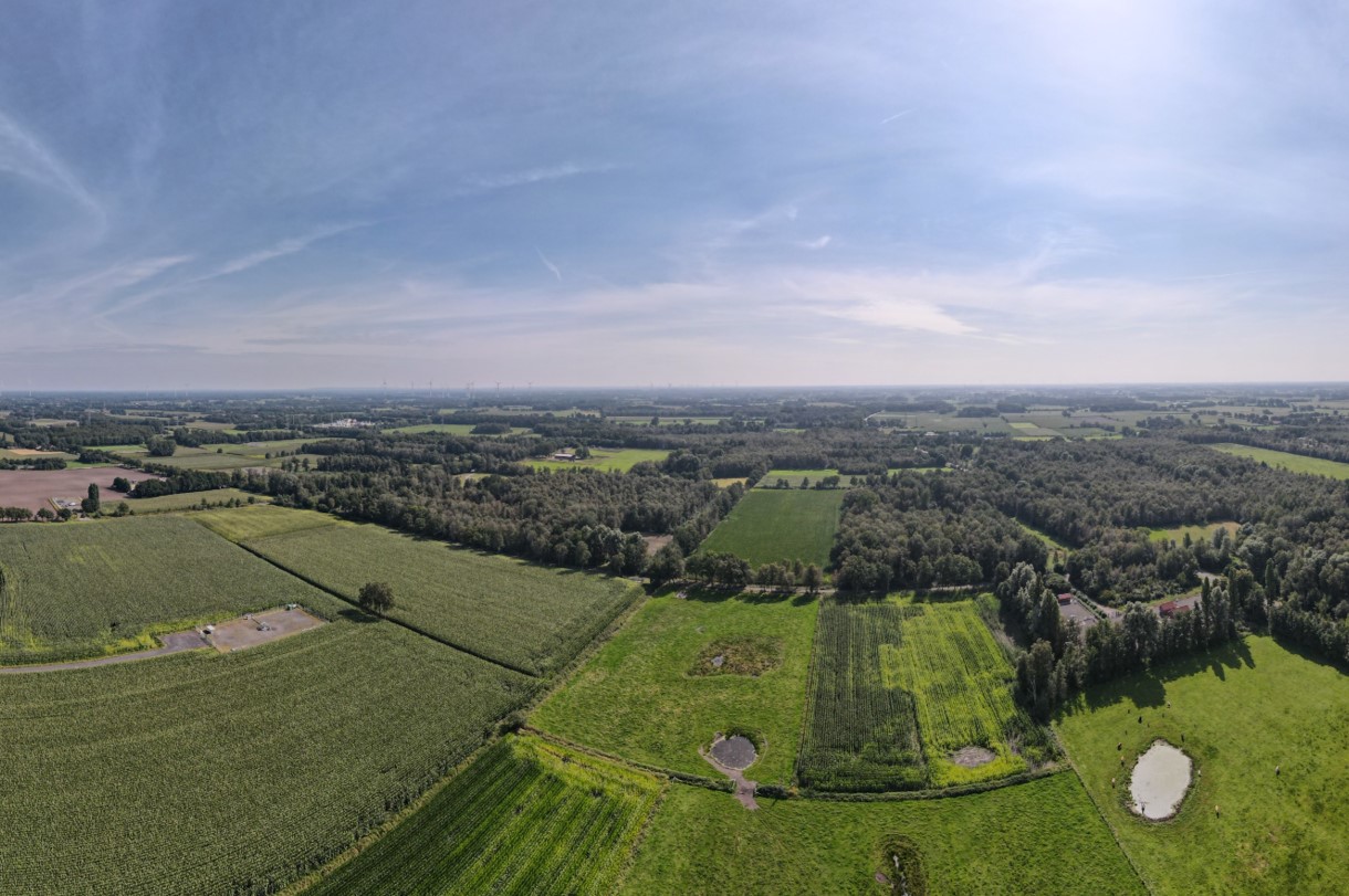
As a matter of fact, part of the area where solution mining is taking place also hosts an active peat bog and associated organic-rich soils. It now happens to be that due to the past summers, some of which were characterised by long spells of hot and dry weather, the water table supporting the peat bog lowered by around 2 metres. That is a significant change, resulting in the degradation and oxidation of peat.
When he subsequently overlaid a geological map of the area onto the subsidence pattern, some relationships started the emerge. In areas where the peat showed elevated thicknesses, subsidence showed a more pronounced value. In contrast, areas where no peat occurs but Pleistocene sand instead, subsidence was much lower.
This can be illustrated further by looking at the subsidence data from three sites across the monitored area. Site BP1, which is located in the bog area but further towards the perimeter of the subsidence bowl, shows a total subsidence in the period 2016-2019 of almost the same amount as BP12 (~ 150 mm), which is in the centre of the subsidence bowl.

In contrast, BP16, which is located in the southeastern part of the subsidence bowl, only shows subsidence around 50 mm of subsidence over the same time period. Even though BP1 and BP16 are in similar positions with respect to their location in the subsidence bowl, i.e. the amount of subsidence based on the effect of solution mining would be expected to be similar, it is probably the soil type that has got a major influence on the total amount of subsidence that is taking place.
And because soil types are rapidly changing across the area, so is the total amount of subsidence per location. This can be seen at location 1 on the map. This location is situated at the very margin of the subsidence bowl, where only 0.1 m of total subsidence should have occurred as a result of mining-induced subsidence. However, it can clearly be seen that the observed subsidence pattern lines up with the occurrence of a peaty soil.
A more complex situation than foreseen
The above observations clearly suggest a more complex relationship between subsidence and solution mining. The results do not line up with the more straightforward bowl-shaped subsidence patterns one would expect when the salt caverns would have been the only factor at play.
Rudolph therefore concluded that peat degradation as a result of warm and dry summers is a significant factor explaining the observed subsidence patterns. Damage to buildings only seems to occur where a peaty subsoil exists, casting further doubt on the effects of solution mining.
The study demonstrates the need for proper geological investigation and explanation to be provided along with raw data such that non-specialists are also in the position to make correct inferences on the relative contribution of multiple factors that can contribute to one phenomenon.


