The Upper Cretaceous Chalk in the Danish North Sea has been an exploration hotspot for oil and gas for many years. Even though the potential for additional hydrocarbon finds is limited these days, there is now the opportunity to look at the stratigraphy in a different way.
Using the numerous 3D seismic surveys acquired, in combination with wells drilled and pre-existing detailed interpretations of the stratigraphic succession, mapping of intra-Chalk sedimentary features is now possible to a level of detail that has not been achieved before.
Attend the NCS Exploration – Recent Discoveries Conference, taking place in Oslo this week, and learn about exciting recent well results such as Toppand, Apodida, Røver Nord, Dugong Tail, Segment D, Hamlet, Rolvsnes, King/Prince, Wisting, Salina, Bask, Rødhette, Isflak, Skavl, Culzean (UK), Mugnetind, Lyderhorn, Gomez, Tyrihans Ile North, Warka, Bergknapp & Fenja.
In addition, there will be talks about frontier exploration in the Norwegian Sea, a debate on source rocks and implications on hydrocarbon generation and much more.
Florian Smit and Lars Stemmerik published a paper in the Journal of the Geological Society recently, in which they describe a spectrum of deformational styles in the Chalk of the Danish North Sea.
Mapping of intra-Chalk deformational features is relevant as these often exhibit higher porosities (10-25 porosity units) than their undeformed counterparts. These high-porosity features could be valuable in the future as sites for carbon storage.
Why does remobilised Chalk have a higher porosity than non-disturbed Chalk?
Once arrived at the sea-floor as a consequence of pelagic settling, the freshly deposited coccoliths of the Chalk are being reworked by bottom-dwelling organisms. This occludes the porosity initially present. As sedimentation is slow enough, the entire succession will eventually be reworked.
However, when remobilisation takes place, the bioturbated fabric is destroyed and the chalk transforms into a plastic mass, which leads to high initial porosities again when the sediments come to rest. As the thickness of the remobilised units can easily exceed the maximum penetration of burrowing organisms, the pore space deeper than ~1 m is being preserved and even isolated because of the sealing by bioturbation taking place at the top of the unit.
Debris flows
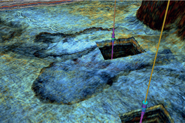
In their paper, the authors describe a selection of four end members with regards to deformational styles. Here, we show one of the examples presented in the manuscript, which is a complex of debris flows in the northern part of the Danish Central Graben.

As displayed in the horizon slice above, the features mapped in this area show two well-developed lobes in the west and a more than 20 kilometres long zone which probably formed a conduit zone for the debris flow that must have been sourced from the Ringkøbing–Fyn High to the southeast.
In contrast to features mapped in other parts of the study area, the structures interpreted here do not show seismic-scale elements of brittle deformation such as extensional ridges or slide blocks.
The relatively smooth seismic fabric suggests that the sediments had disintegrated to a large extent, which in turn may be due to the longer pathway from source area to where deposition took place.
No clear evidence of compression is observed either, such as pressure ridges at the lobe termini. These observations suggest that the lobes were deposited mainly as a plastic mass that was able to erode into the chalk seafloor, being transported under the influence of gravity. Based on these observations, a debris flow origin is the most likely.
Well logs
The higher porosity in Chalk debris flows compared to the pelagic chalk was confirmed using well logs from the Gwen-2 and Kit-1X wells. Gwen-2 was drilled just south of the mapped features and recorded 5-10% porosity in pelagic Chalk, whilst the Kit-1X well that penetrated the debris flow suggests 30-35% porosity in the uppermost lobe at 3,200 meter burial depth.
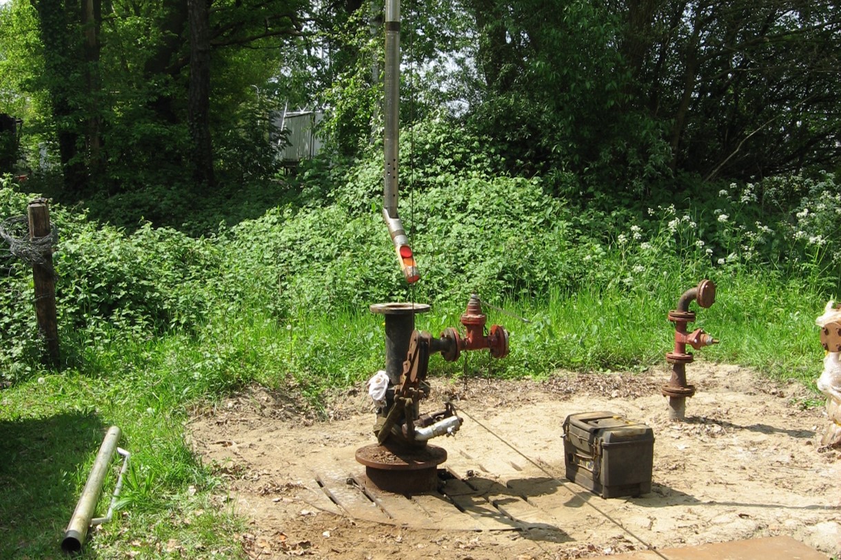
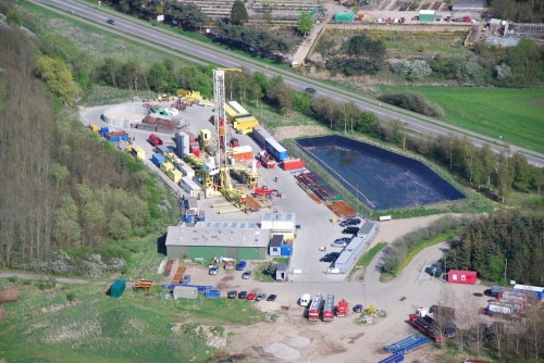
When the first wells were drilled in the Danish North Sea sector, was there ever the idea that once it will be possible to map how the Chalk was remobilised in places in satellite-style images? Probably not.
HENK KOMBRINK