Advanced imaging in combination with regional rock physics analysis across the Haapet Dome suggests high porosity reservoirs in the Jurassic and a potential for prospectivity in the Triassic.
Pat Coole and Craig Koch, Petroleum Geo-Services (PGS)
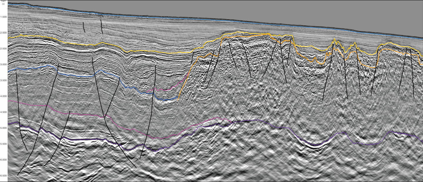
Hydrocarbon Potential of Offshore Namibia In 2012 and 2013, PGS shot approximately 15,000 line km of broadband seismic data in the deep and shallow waters offshore Namibia, with a view…
Patrick Coole, Matthew Tyrrell and Christine Roche. Petroleum Geo-Services.
Survey areas of the reprocessed 1996 data (yellow outline) and 2014 GeoStreamer® data (purple). Offshore Ivory Coast: reducing exploration risk In 1996 PGS acquired a 1,600 sq.km 3D survey over…
Mari Schjeldsøe Berg and Øystein Lie (PGS ), Spyridon Bellas and Antonis Angelopoulos, Greek Ministry of Environment, Energy and Climate Change (YPEKA)
Map of Greece showing the new data coverage and the exploration blocks extending along the western and southern offshore area. Schematic map showing the external geotectonic zones onshore and offshore…
Matthew Tyrrell, PGS & Dr. Ibrahima Diaby, Petroci
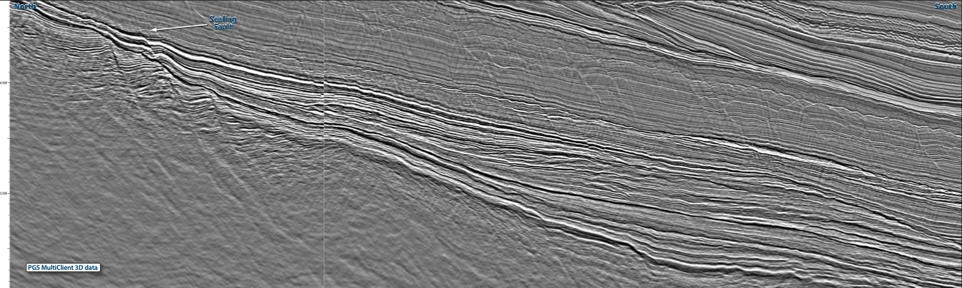
Base map of central offshore Côte d’Ivoire showing the PGS multiclient seismic data library, together with the location of the four wells discussed in the text. Awaken your structural geologist!…
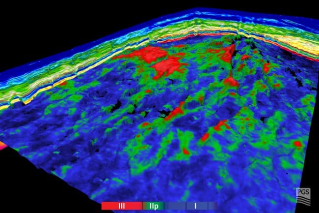
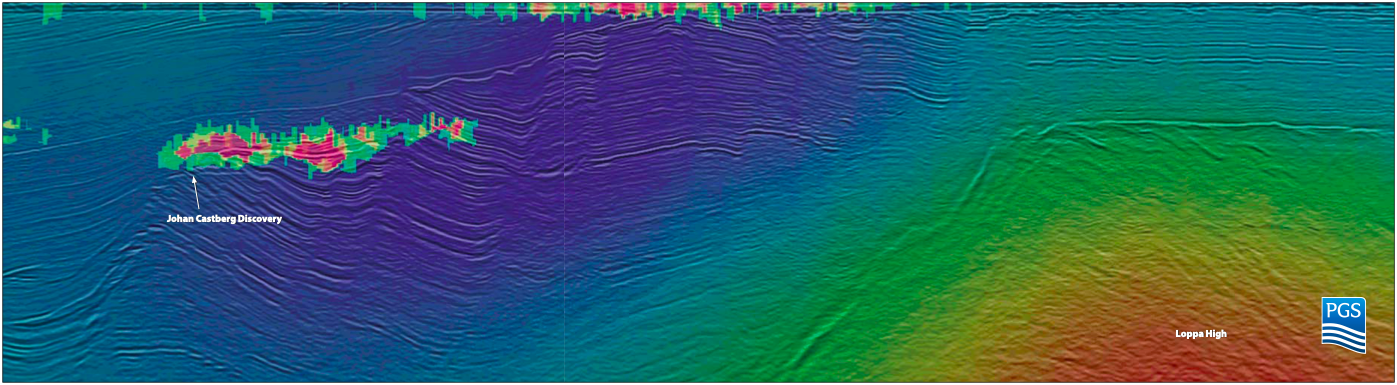
Close-up of Johan Castberg area. Example comparison between the measured resistivity at wells in the Johan Castberg and Caurus areas and the resistivity recovered via anisotropic inversion. See the big…
Rune Sakariassen, Nicola O’Dowd and Caroline Lowrey, Petroleum Geo-Services
The MC3D NVG survey comprises MC3D NVG 09/10/11 GeoStreamer surveys acquired in conjunction with TGS and PGS MC3D NVG 05 survey. Improved resolution and penetration with Broadband 3D The…