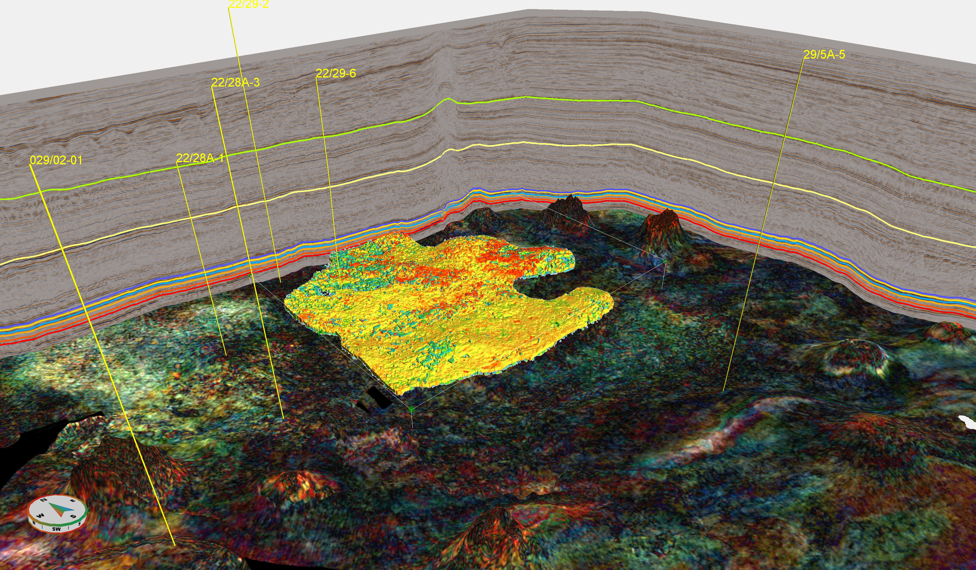
The Eocene Balder Tuff is an important and widespread stratigraphic marker in the North Sea. For most wells drilled in the area, it sits in the overburden, far away from the reservoir targets, so it’s often being drilled through as quickly as possible. On seismic data however, it often forms a clear marker, which is used for regional correlations.
But how does the Balder Tuff look like when it’s being drilled through?
“I’ve seen the Balder Tuff so many times,” says Peter Thorn. Peter is one of the most experienced well site geologists in the North Sea area; an interview with him will appear on GEO ExPro soon. “It may be better to speak of tephra layers by the way, as the tuffaceous material settled in deep water and only forms thin layers intercalated with mudstones.”
“Before arriving at the Balder Tuff, a decreasing Rate of Penetration (ROP) in the overlying Horda Formation generally signifies that we are approaching this key marker,” Peter continues. The clay is getting stiffer, probably because it is one of the most condensed sections in the Cenozoic section. “In addition, the colour palette changes from monotonous grey to greenish and bluish grey and reddish browns. The tuff itself often has a steel bluish grey.”
The proper Balder Tuff itself can easily be missed – the tephra layers tend be thin – but the varicoloured mudstones are a good indication it is there somewhere. “However, I’ve clearly observed the volcanic laths/shards a good number of times,” Peter says. “It is an exciting idea to sample the witnesses of volcanic eruptions that took place around 55 million years ago.”
The Balder Formation
Below is an excerpt from the BGS Lexicon of Rock Units, providing some more background to the Balder Formation
The Balder Formation consists of light to dark grey, generally fisile, carbonaceous, pyritic mudstone with abundant tuff layers in the lowest part. The mudstone is well laminated in the lower part, with light to medium grey indurated siliceous mudstone alternating with medium to dark grey soft, fissile mudstone. In the upper part, the mudstone is fissile, but soft and poorly laminated. In parts of the Viking Graben, the tuff-rich mudstones include thin reddish grey layers, often with diffuse boundaries, and often associated with minor bioturbation. The tuffs mostly occur as thin layers up to a few centimetres in thickness, with sharp bases and commonly displaying normal size grading; these are interpreted as undisturbed air-fall tuffs. Several cored sections in the Viking Graben have revealed units several tens of centimeteres thick that are internally structureless or display dewatering structures; such units are interpreted as resulting from gravity-flow resedimentation of the primary air-fall tuff .
For more information about the Balder Tuff in the image above, please check this publication. The core photos can be inspected through the NPD website.