In 2018, NUNAOIL in collaboration with the Geological Survey of Denmark and Greenland (GEUS) and the Ministry of Foreign Affairs and Energy initiated a resource assessment project of the entire Greenlandic Shelf. The aim of the project is to conduct a basin analysis, play risk analysis and resource assessment of seven areas (AU1 – AU7), covering more than 2.4 million km2.
Following the release of the first area assessment in March this year, an extensive data pack is now also available for the second area, which is the Baffin Bay area (AU2) in West Greenland. Four play levels have been identified, ranging in age from Paleogene to Lower Cretaceous, with an estimated mean for undiscovered resources of 9,100 mmboe risked recoverable.

The assessment results are based on all available data collected and interpreted by the industry, GEUS, NUNAOIL and the Ministry. The deliverables include a comprehensive slide pack summarising the main outcomes and workflow, as well as an ArcGIS/Player project. These are available at no cost to petroleum exploration companies. An extensive project summary document is publicly available.
Young basins
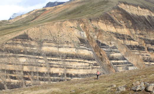
In broad terms, the geology of the Baffin Bay area is dominated by an Early Cretaceous failed rift and its sedimentary infill in the east, and a Paleocene-Eocene ocean floor in the west, reflecting successful rifting of the Greenland and Canadian landmasses. Given this relatively young complex of basins, prospective intervals are limited to sediments of Early Cretaceous age and younger, with the exception of one potential reservoir unit on Proterozoic sediments.

Frontier exploration
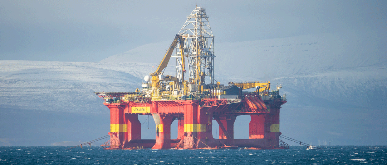
No exploration drilling has been carried out in Baffin Bay and the area is characterised as a frontier exploration region. Following the collapse of the oil price in 2014, most licences on the Greenland Shelf were relinquished, and exploration activities have almost ceased. However, there are signals that a working petroleum system in the Baffin Bay area exists.
Observations of oil slick data made through satellite imagery suggests that hydrocarbons are leaking to the surface. Although there is considerable uncertainty related to interpretation of oil slick data, it is likely that some slicks represent seepage of a natural petroleum system. Also, the slicks tend to cluster in above major fault systems, suggesting that these faults represent conduits for petroleum migration.
In addition, bright spots, flat-events and chimneys were mapped in seismic data and also appear to follow main fault trends. However, slicks and seismically mapped features do not show a strong spatial correlation, which may be caused by a difference in data coverage.
3D basin modelling was also carried out using a full suite of input data such as depth-converted seismic horizons, vitrinite reflectance data from shallow boreholes and temperature profiles from relinquishment reports. The main outcomes are that the identified Paleocene and Cretaceous source rocks reached maturity in the more deeply buried parts of the basins, in areas that experienced anomalous heat flow or in areas where a thick succession of Paleocene volcanics can be found (in the south of the area).
HENK KOMBRINK