The 31st Supplementary License Round in the Outer Moray Firth, Greater Buchan Area will soon be opened (Q1 2019) for companies to submit their applications. The British Oil and Gas Authorities (OGA) already released a data package (read more in “Data release for Buchan License Round”) and guidance on the technical aspects of the applications. The OGA calls for industry collaboration to explore and develop new infrastructure in the Greater Buchan Area.
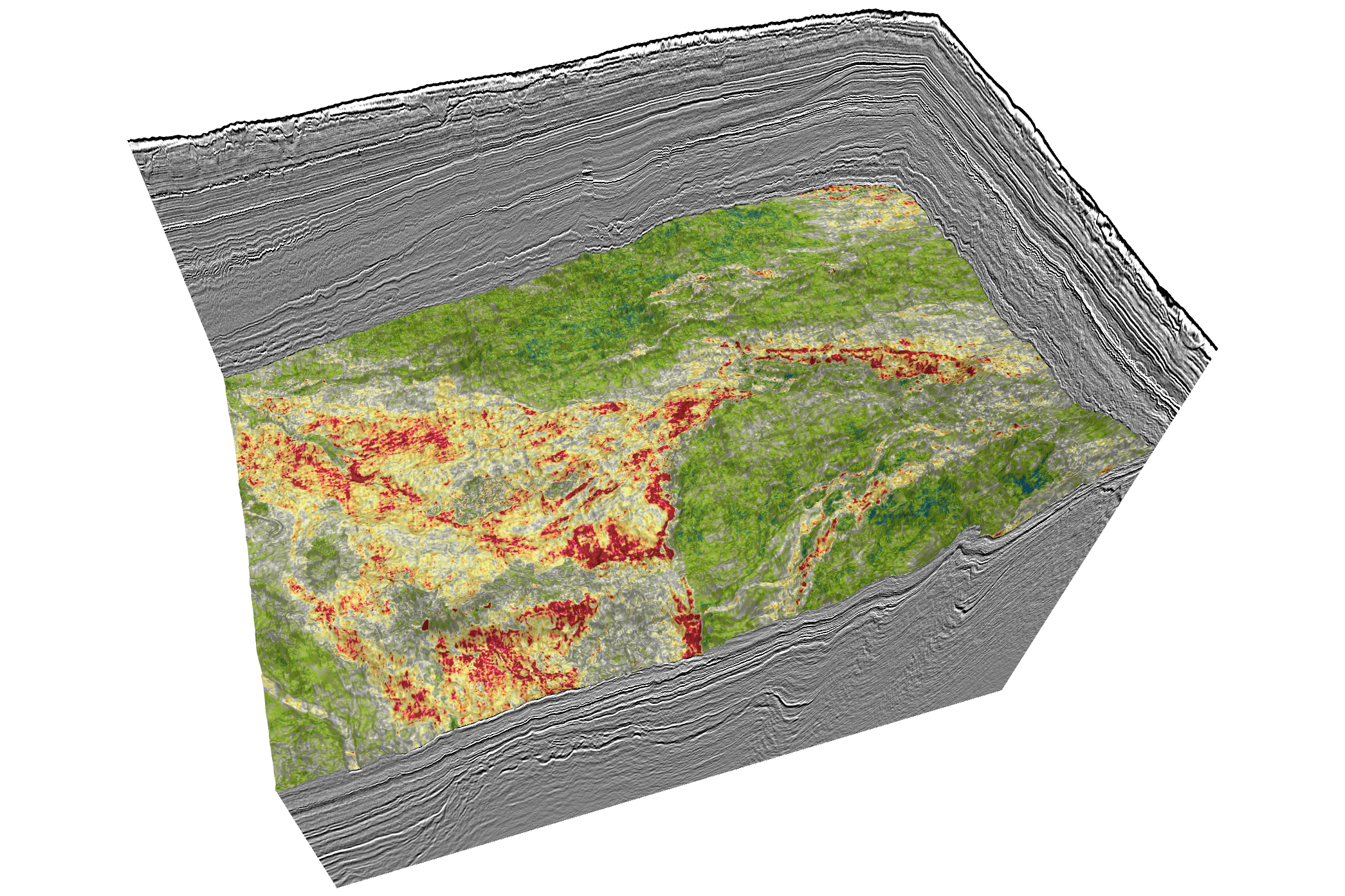
PGS acquired a brand new, high-density 3D GeoStreamer Moray Firth survey in 2018 which covers a large part of the open area and the fast-track results are now available. According to PGS the broadband uplift has produced a significant improvement in understanding of the exploration potential in the area and of the possible plays. The potential plays vary from fractured basement to shallower Cretaceous targets.
Imaging all Recorded Wavefields
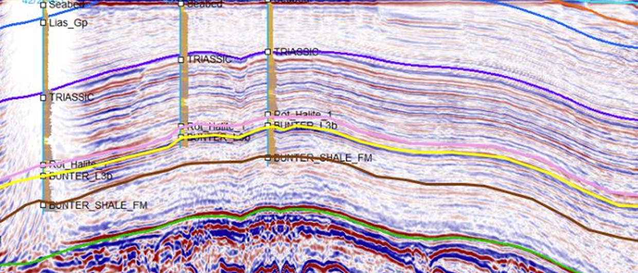
The key imaging challenge of Moray Firth is the masking of deep structures by a combination of shallow water and complex shallow overburden. To solve this issue PGS has applied a Complete Wavefield Imaging (CWI) technique. CWI utilizes GeoStreamer multisensor technology to process and image all recorded wavefields. The technology uses reflections, refractions and multiples to produce accurate velocity models through full integrity imaging.
Why would companies benefit from the PGS survey when compared to using the released seismic data from the OGA data package for their evaluations?
Gunhild Myhr, VP New Ventures Europe with PGS, explains: “The new high-density GeoStreamer data and the most up-to-date processing technology have been used to improve the understanding of both source and reservoir potential. The OGA technical guidelines encourage the use of the best available seismic data, and this is clearly it.”