
How often have you wondered where you can find a reliable geological map of a region? Or maybe you want a broad look at the tectonic stresses or magnetic anomalies around the globe, or a geological hazards map of a continent? And when you find something, can you be sure of the scientific accuracy of its content? If, like me, you spend hours trawling the internet, it may be time to take a look at the many products produced by the Commission for the Geological Map of the World (CGMW).
Mapping the World
It appears that Jean-Etienne Guettard (1715–86) produced the first geological map, his 1746 Carte Minéralogique covering France and England, although William Smith’s 1815 map of the geology of England and Wales, at a scale of five miles to the inch, is recognised as the first modern geological map of a whole country. Very soon, national geological surveys had been established in many countries, all producing their own maps, using a huge variety of techniques, formats, naming conventions and colour schemes.
The next logical step was to try to set up some standards and then combine these regional views into a geological map of the world. The first attempt was remarkably early, in 1843, when Ami Boué produced a Carte géologique du globe terrestre, at a scale of 1:58,000,000, although since much of the globe had yet to be visited by geologists, there were, unsurprisingly, many omissions. Twenty years later, Jules Marcou produced a 1:23,000,000 world geological map, leaving unmapped regions – most of Africa, Arabia, Asia and Australia – blank.
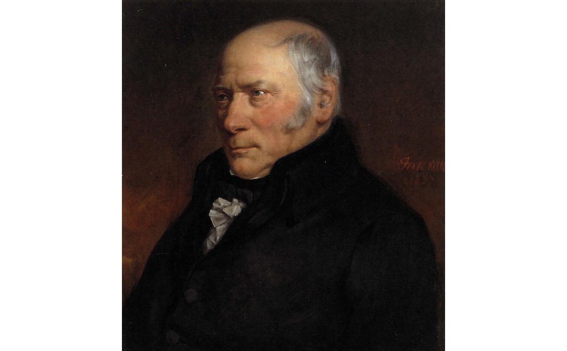
William Smith’s 1815 map of the geology of England and Wales is recognised as the first modern geological map of a whole country. Artist: Hugues Fourau (1803-1873).

Ami Boué produced a Carte géologique du globe terrestre, in 1843. (Source: Lysippos)
Eventually, through the International Geological Congress, it was decided to set up international commissions to look at ‘geological graphic representations and terminology’. These morphed into the establishment of the Commission for the Geological Map of the World (CGMW) in 1913, but with the outbreak of World War One, little was done to further its aim of producing a geological map of the world at a uniform scale of 1:5,000,000. Over subsequent years and after much discussion, a Geological Atlas of the World was initiated in 1965 and published in 1985, which included 22 sheets featuring separately the geology of each continent and ocean. This has been out of print since 2004, but high definition scans are available. The first Geological Map of the World displaying both continental and oceanic geology was published by the CGMW in 1990 at the scale of 1:25,000,000. This map is now in its third edition, and in its revised issue in July 2014, at the scale of 1:35,000,000, for the first time the geology is enhanced by a physiographic background. CGMW is responsible for a large range of other regional maps, covering not just surface geology, but also tectonics, ore deposits, natural resources and climate.
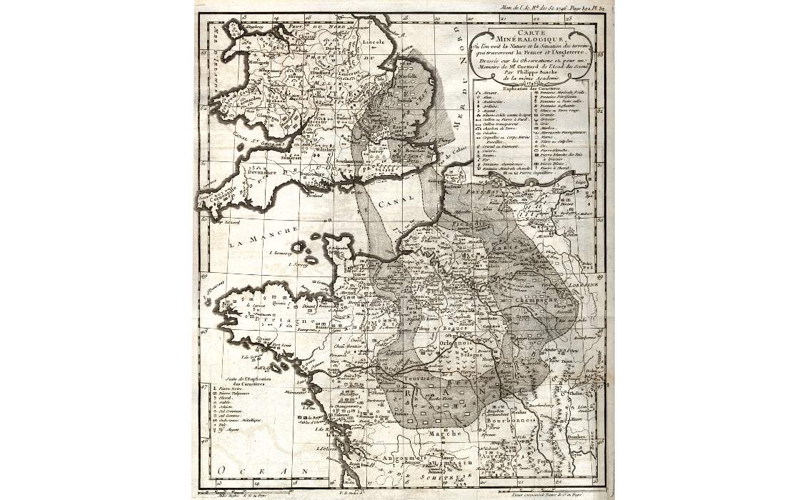
Guettard’s 1746 geological map ‘Carte Mineralogique’.
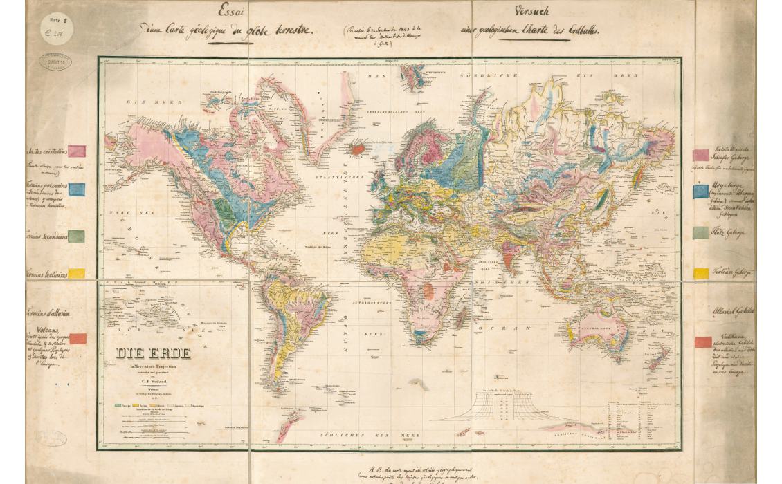
Ami Boue geological map 1843.
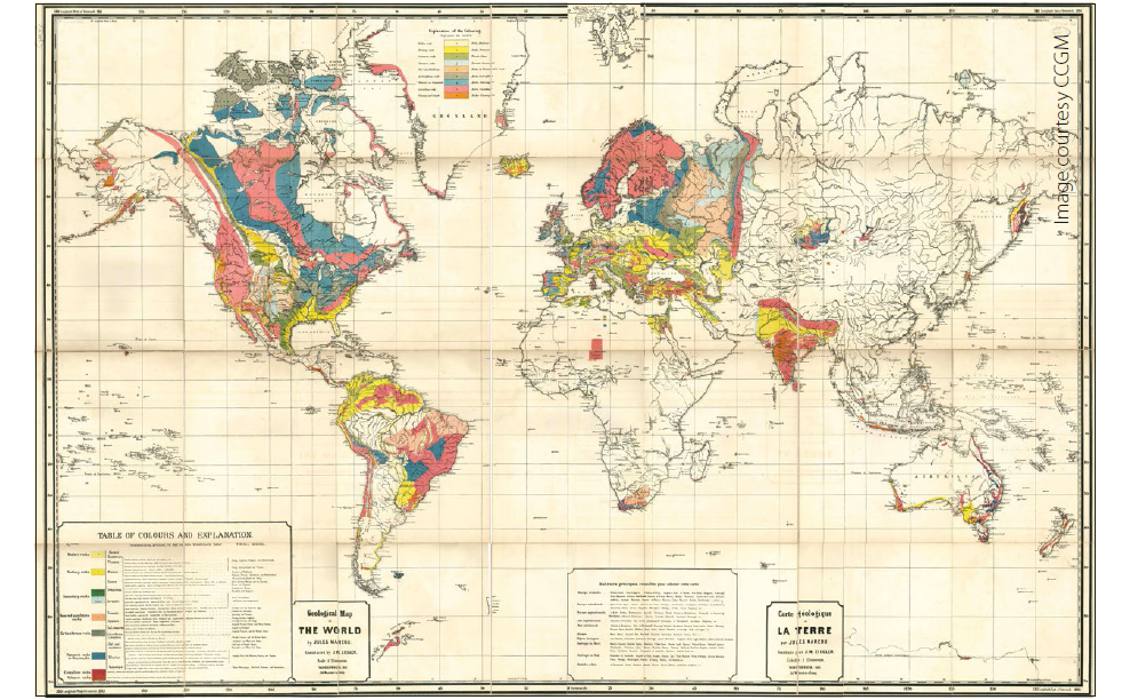
Jules Marcou’s 1861 world geological map. (Source: CCGM)
Community Support
The not-for-profit commission, which is based in France, is responsible for designing, promoting, coordinating, preparing and publishing these small-scale thematic Earth Science maps of the globe, continent, major regions and oceans. To produce them the organisation relies on the support of the international scientific community, as well as cooperation with geological surveys, universities, oceanographic institutes and also industry. The mapping activity is financed by the membership fees from the various geological surveys, plus grants from organisations like the International Union of Geological Sciences and UNESCO, and sponsorship by industrial partners.
Crucial to the process of generating accurate and informative maps is the General Assembly of the Commission, where each suggested cartographic idea is assessed, progress on existing projects analysed and decisions are made as to future plans. The Assembly is held every two years, either at UNESCO headquarters in Paris or during the International Geological Congress, convened every four years. Members of the General Assembly are drawn from throughout the world; 75 participants from 23 countries, ranging from the USA and Russia to Cameroon and Switzerland, took part in the 2014 meeting.
Although the Assembly is principally responsible for determining which cartographic projects are undertaken, overseeing the work there is an executive bureau, which also includes representatives from throughout the world and from different Earth Science fields. Before their publication, all maps are submitted to expert review in order to ensure the best scientific quality to all CGMW releases.
An important remit of the CGMW is the development of international standards in geological mapping, working closely with organisations like the International Commission on Stratigraphy and the International Union of Geological Sciences. The standard stratigraphic and geological colours used in most official maps are also those set down by the CGMW.
The most recent edition of the Geological Map of the World (2014). Courtesy of CCGM.

Range of Products
The Commission’s products range broadly in scale and theme. They include, for example, hydrogeological, physiographic, structural and gravity maps of the world at 1:50,000,000, in addition to the world geological map. There are also more detailed maps, including one on the geology of the Pyrenees (1:400,000) and a geological map of the Bosumtwi impact crater in Ghana at 1:50,000. CGMW has also published a number of map-based atlases including, for example, an atlas of Messinian Salinity Crisis Markers in the Mediterranean and Black Sea and one of Paleotectonic Maps of the Middle East, both of which should be of interest to geologists in the hydrocarbon industry. The commission does charge for its products, but they are relatively nominal sums, ranging from €5 to €50 ($6–$64).
Part of the CGMW’s role is to ‘research and adopt digital cartographic techniques and disseminate information about them’. Digital mapping has been used in the preparation of the maps since 1990, with every effort being made to comply with the different, rapidly evolving softwares available in the market, taking into account the different demands of the users.
The geological and physiographic maps of the world and a number of other products are available digitally, with data in various formats, and the organisation is committed to extending its offering of digital maps in the near future. However, as Clara Cardenas from the CGMW points out: “It is important to note that small scale printed maps are always in demand, especially for educational purposes. A digital image of a map supplements its printed version, but never replaces it, in particular when it comes to a global vision of the geology of our planet, continents, oceans or major regions.”


