In the search for continued petroleum resources on the NCS and in other regions around the world, geologists and geophysicists working with imaging of the subsurface agree that we need better data.
“Ocean Bottom Seismic (OBS) is one option but it’s not necessarily the optimal solution,” claims Berit Osnes, Executive Vice President of New Ventures in PGS.
The attraction of OBS is obvious. By placing receivers on the seafloor and decoupling the source from these receivers, it is possible to record rich azimuth data, potentially giving superior illumination of geologically complex exploration targets. On the downside, the data is costly, and slow to acquire and process.

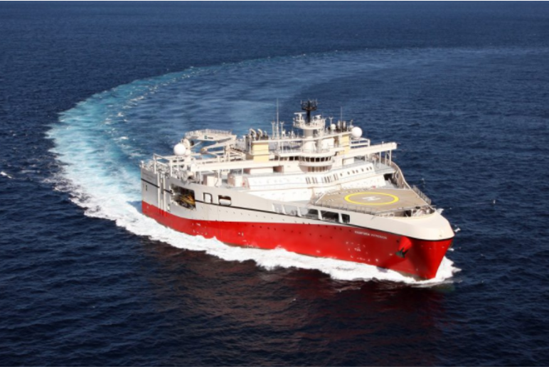
Photo: PGS
With no OBS-crews in their extensive fleet, PGS was convinced that they could offer a better overall solution with advanced towed-streamer technology, including the widely celebrated GeoStreamer.
“The answer was in fact simply the next step, as it incorporates all the acquisition solutions applied on our groundbreaking 2018 survey in the Barents Sea (GEO 03/2019, page 2), that is a joint project with TGS, combined with multi-azimuth acquisition. Wide-towed sources as well as longer and denser streamer spreads are enabled by our high-capacity Ramform vessels,” Osnes says.
“We discussed the need for better and faster data with many oil companies worldwide and received a lot of support for the ideas presented. The most popular solution for the NCS was acquiring GeoStreamer data in three different shooting directions, with wide-tow sources and dense streamer spreads.”
In this way, Osnes explains, PGS is using the multi-sensor GeoStreamer technology, with additional azimuthal sampling to improve data quality. PGS was the pioneer of multi-azimuth (MAZ) imaging, she reminds us.
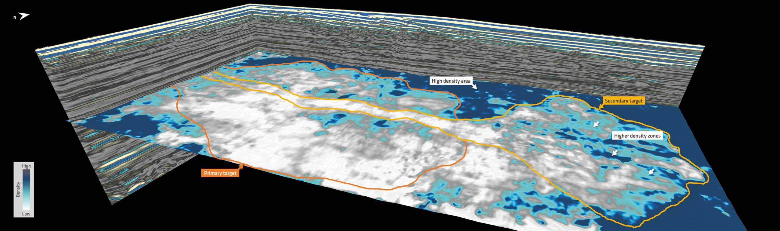
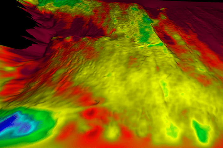
The new solution redefines MAZ to deliver full azimuth data for shorter offsets. In addition, 10 km streamers will record extra-long offsets for Full Waveform Inversion (FWI). “This produces better imaging and more accurate velocity models at depth, as was proven by the 2018 Barents Sea dataset,” Osnes explains. The resultant high-resolution velocity model can also be used as an independent tool for exploration.
The wide-towed sources offer another benefit missing from the OBS alternative, the inclusion of near offset traces that favor imaging of ultra-shallow targets and make AVO-analyses more reliable.
The new setup will be known as GeoStreamer X. The X stands primarily for shooting in several directions, but the mysterious X is also a symbol for further technological development as PGS technical experts keep climbing the learning curve.
In this way PGS will get multi-azimuth data, but with broadband frequencies and the added benefits of nearer and longer offsets, to resolve complex exploration targets.
“We believe GeoStreamer X is a smarter solution for most exploration scenarios. The azimuth coverage is sufficient with respect to quality, and there are other important advantages that benefit the exploration work-flow,” Osnes says.
According to her, there are two main advantages compared to OBS: considerably lower cost and significantly reduced turnaround time. While the former mainly has to do with using only one vessel in a shorter time span, the latter applies to both acquisition and processing, meaning that exploration teams will get much needed data much earlier.
On top of that, Osnes emphasizes that with just one vessel, there is less environmental impact and reduced risk of area conflicts with the fisheries.
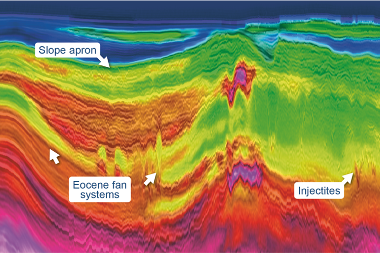
PGS is now in the middle of a prefunded pilot survey in the North Sea. It was commenced in the beginning of September, and PGS expects deliverables as early as first quarter next year. The survey area in the Viking Graben has several complex oil fields and exploration targets, such as injectites, that are particularly challenging to de-risk.
“The proof of the pudding is in the eating”, and the GeoStreamer X technology solution will soon be digested by critical customers.
Berit Osnes is optimistic.
“We are on an exciting track”, she says, also referring to a continuous stream of incremental improvements in seismic imaging that may ultimately result in additional discoveries and fewer dry wells, thereby benefitting society at large.