With the advance of new AI-based technologies, drill cutting data can now be quickly and consistently analyzed and interpreted to better characterize the subsurface.
Working together with Bapco Upstream, we analysed 1,000’s of cuttings samples from multiple wells covering the Devonian Jauf and Jubah Formations across the prolific Awali Field, onshore Bahrain. We utilized advanced AI image analysis of cuttings data together with elemental data in order to generate a consistently measured, high resolution lithotype model applicable for the entire field. The definition of lithotypes subsequently assisted with regional sequence stratigraphic marker identification.
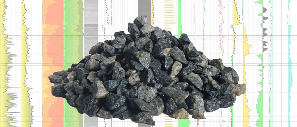
The drill cuttings samples were prepared, rapidly analyzed using portable custom-made benchtop equipment and interpreted for color extraction and particle texture using various AI-based image analysis algorithms. This rapid and consistently measured analytical process together with supporting log and core analysis data enabled the construction of a robust lithotype model applicable to the Devonian section for these wells. Each sample was systematically classified in terms of the lithotype scheme, resulting in the generation of improved subsurface understanding.
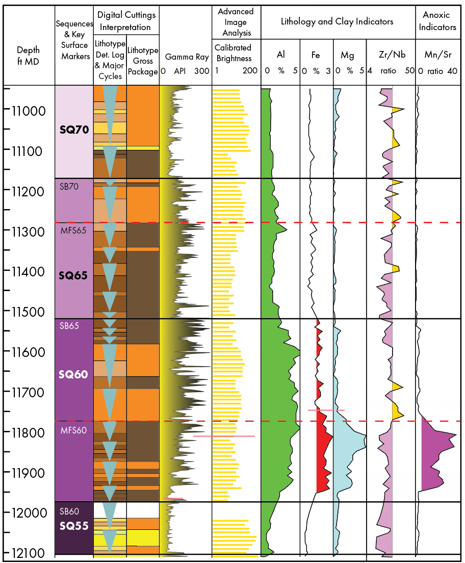
8 detailed lithotypes grouped into 3 lithotype associations were identified, based on changes in color together with key elemental ratio data such as average Al (%), Mg (%), average Zr/Nb, Ti/Si and average Th/K. These interpretations were used to identify small to medium scale cyclicity, which then allowed for a further classification into regional sequences.
With this generated information, it was possible to accurately compare these cycles and sequences well-to-well and identify key correlative surfaces and regional trends. For example, an increase in Mg and other elements coupled with a dominance of lithotypes S6-S8 during the late TST of Sequence SQ60, suggests the development of a more restricted bay environment at this time and spatial location. These findings indicate complex changes in depositional environment across the field which can have implications for spatial changes in reservoir quality.
The ability to identify specific lithotypes from fresh and legacy drill cuttings will allow operators to better predict spatial reservoir definition and understanding across the field, thus improving sub-surface model build and overall field development.