There is a lot of public and political pressure to make the energy transition a success. Germany is a country that faces this pressure too, further augmented by a strong reduction in gas supplies from Russia in recent months and the related need to urgently diversify the energy mix.
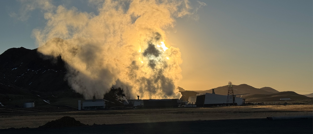
Against this backdrop, it is disappointing to see that a flagship geothermal exploration drilled in the north of Germany in the city of Hamburg has not delivered what many people had hoped for.
See also: Hamburg – not as hot as expected
5,000 homes
The Hamburg geothermal project aimed at producing 10 MW from a 130°C reservoir, enough to heat around 5,000 homes. With a lot of promotional work carried out to inform the public about what was going on in the Wilhelmsburg area of Hamburg, the project received a lot of attention as the well was being drilled.
The Hamburg geothermal project aimed at a reservoir of Upper Triassic to Lower Jurassic age (Rhaetian sandstone) at a depth of more than 3 km. The target was reached – albeit 300 m shallower than foreseen – and core was cut. However, subsequent analysis revealed that the rock’s flow properties were of insufficient quality to warrant drilling another well.

Targeting the Rhaetian sandstone in the area should not be regarded as an outright mistake though; the reservoir is known for its good quality in other parts of northern Germany.
However, when plotting the location of the well on a recently published map showing the sedimentary architecture of the Triassic reservoir in the area, it is clear that the well was not drilled in an optimal location (see map above). Constrained by several wells drilled in the area in the past, the conceptual model suggests that the deltaic sandstones are shaling out in the direction of where the well was drilled.
Even when one takes into account that this map remains a conceptual representation of the actual subsurface setting, and will always need revision with more wells being drilled, the fact that it was published before the well was spudded still sparks the question of why it was drilled at the chosen site.