Traditionally, geomodels are built in a simplistic fashion, taking into account the inherent degree of uncertainty in the input data. Attempting to accurately depict an unseen geological object, often multiple thousands of meters deep underground, carries its fair share of challenges. Trying to guess a puzzle image with only a few pieces would sum up very well the daunting task faced by geomodellers.
To this day, the uncertainty associated with geomodels has been accepted by the geological community and the other users of their models. After all, there is no need to reach geoperfection to understand the bigger picture.
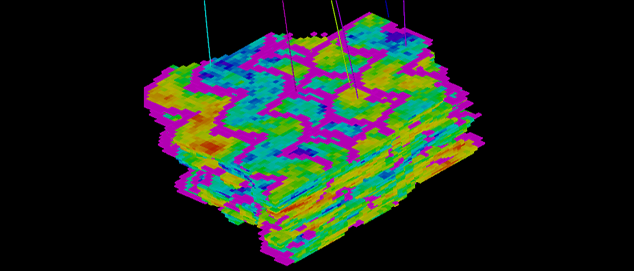
Simple geomodels are often used to estimate the hydrocarbons in place. More complex geomodels, focusing on capturing the sedimentary variability in the reservoir, are built when trying to predict the dynamic behaviour under production and/or injection or more complex processes such as EOR.
Having a simplified geological image is acceptable as long as the physics in the reservoir is honoured. Moreover, no one will complain as long as the reservoir is producing within the uncertainty envelope of its dynamic prediction.
A new challenge
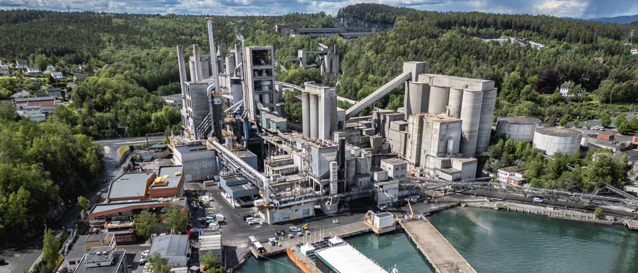
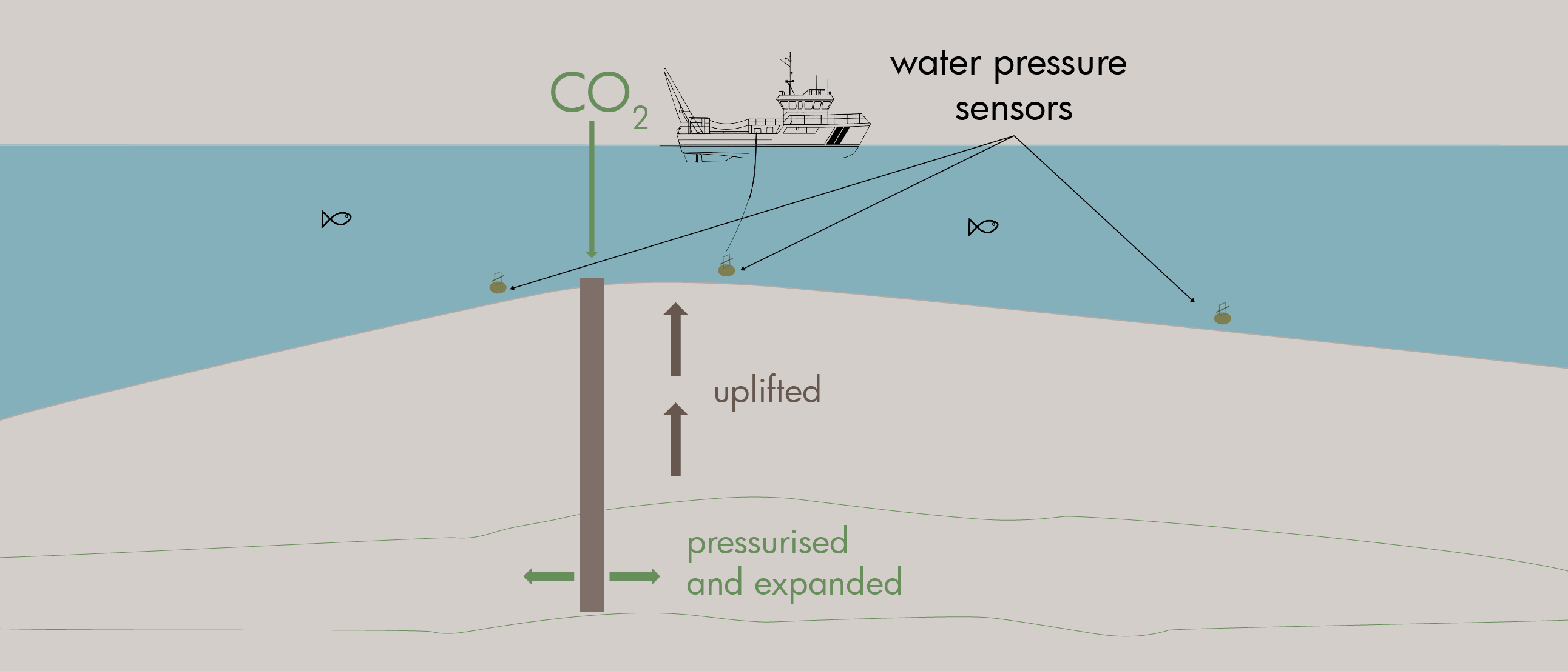
With CCS comes a new challenge, setting the bar higher if not the highest it has been to date. Injecting CO2 in a mature reservoir brings a unique challenge at two levels.
First of all, the geomodel that will be used for monitoring CO2 injection needs to be free from multipliers and other manual edits because this erodes the predictive power of the model.
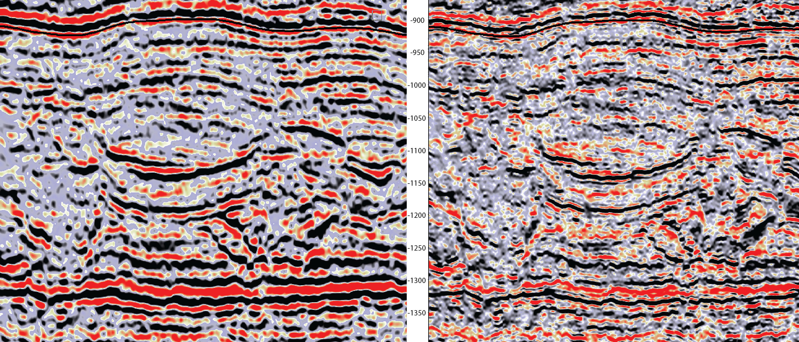
Secondly, a thorough understanding of flow paths in the depleted reservoir is required to estimate how much CO2 can be stored and which pathway(s) the fluid will follow from its injection entry point till its -hopefully! – final resting place.
A high degree of realism
Geomodellers are therefore facing a unique situation where the degree of accuracy of static reservoir models must reach a level never attained before. This will be associated with the following key points:
- Faster turnaround time, close integration and multiple loops with reservoir engineers
- Critical look at data to make sure it is representative, including rapid identification of outliers
- The routine use of seismic 4D capability to have a real-time picture of the fluid movement in the reservoir and the ability to alter the geomodel accordingly
- Use of more powerful yet complicated interpolation algorithms to better represent the geology of the reservoir whilst honouring physics
- Geomechanics, although a niche capability at the moment, will have to be part of the routine workflow
- Locating faults or fractures in the reservoir with a superior degree of certainty and accuracy, predicting the effect on flow paths, storage and sealing properties.
In conclusion, more predictive geomodels will be the stepping stone for successful CCS injection projects. But in the current context, where geomodelling expertise is increasingly lost through the retirement of experienced people and a strongly reduced enrolment in geology courses at the same time, geomodelling for CCS might prove to be a bridge too far.