Gas Flaring is coming under increasing scrutiny as there is renewed focus on this practice ahead of COP26 later this year. Capterio, a company which uses independent and verified third-party satellite data to track gas flares, released its free-to-download FlareIntel application recently. This accesses data related to the volume of every gas flare, its associated revenue potential if captured, and its CO2-equivalent emissions. It is also aggregated for country level analysis. With this level of transparency available to the public, it can surely only add pressure on governments and companies to start seriously addressing this issue.
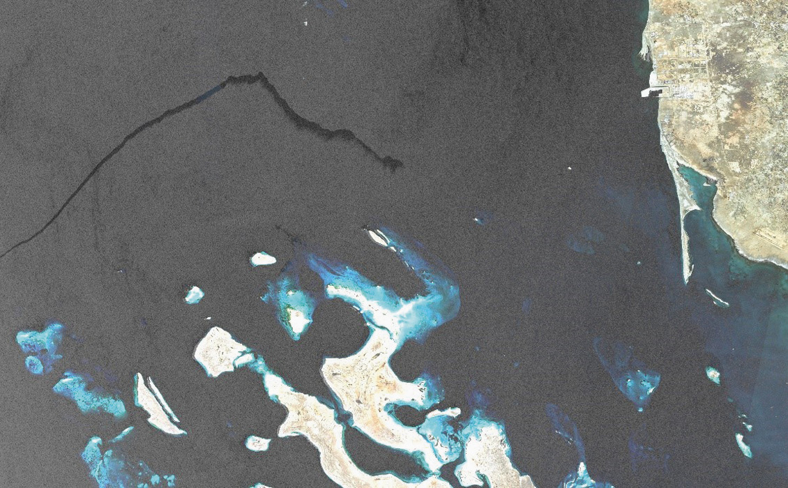
Vessel pollution in the Red Sea captured by the ESA Sentinel-1 satellite (contains modified Copernicus Sentinel data [2021]). Credit: CGG.
In May this year, French geoscience technology company, CGG launched SeaScope, a new monitoring solution, which forms part of its portfolio of products and services for environmental applications. This system combines remote sensing science, Earth observation data, machine learning and high-performance computing to provide sea surface slick intelligence to strengthen situational awareness of the interaction between offshore assets, coastal facilities, local vessel activity and the natural marine environment. The solution was developed with the support of the European Space Agency together with a group of energy companies and emergency response organisations. This new monitoring system will help offshore industries to mitigate risks, respond quickly to events and support environmental and operational transparency, and related ESG commitments.