“The ocean bottom conditions on the Norwegian continental shelf are challenging and vary from place to place, so they must be examined in detail”, says Lars Jensen, geophysicist at the Norwegian Petroleum Directorate (NPD).
The Norwegian Petroleum Directorate recently announced that it awarded contracts to Fugro and Enviros for mapping the shallow subsurface. It is this interval that is of interest for the wind power companies.
Late last year, the Norwegian government said that it wants to announce the first phase of the offshore wind areas Sørlige Nordsjø II and Utsira Nord by the end of the first quarter of this year. As such, the NPD was commissioned to carry out basic surveys in the two areas, and this year’s final survey is scheduled to take place in the period from late April to early September.
The focus has never really been on the top 100 – 200 metres.
More data is needed, despite the fact that hundreds of wells have been drilled on the Norwegian Continental Shelf. The focus has never really been on the top 100 – 200 metres.
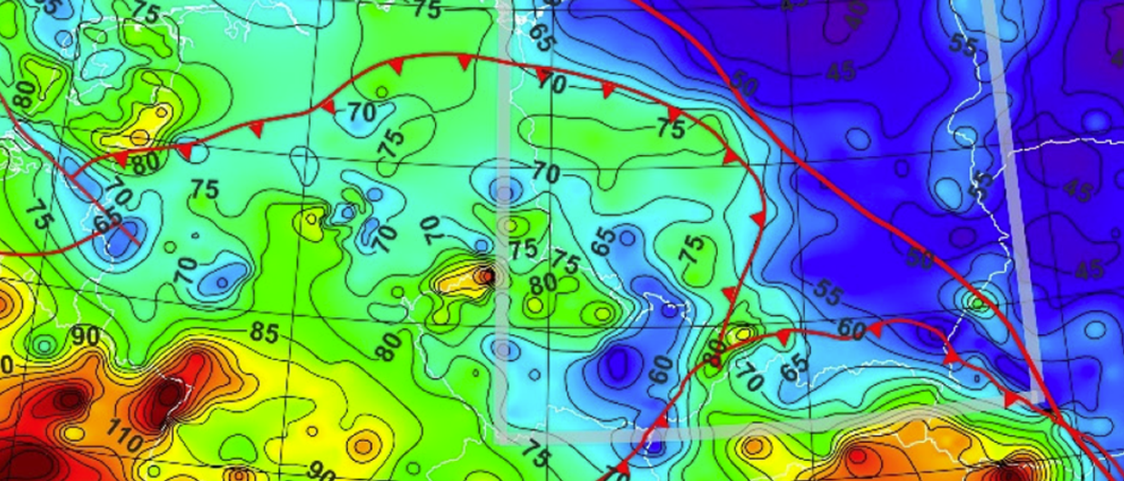
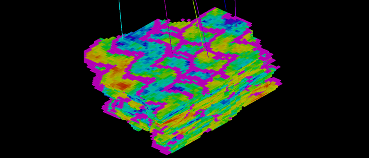
Jensen says that there are seven different measurements to be made at Sørlige Nordsjø II and Utsira Nord. Multibeam sonar provides three key data sets: bathymetry, acoustic backscatter and water column data. In addition, they will collect 2D high-resolution seismic, ground-penetrating sonar (SBP), side-scanning sonar (SSS) data, as well as magnetometer data.
The new data sets will benefit the wind power companies as the geological conditions are quite complex.
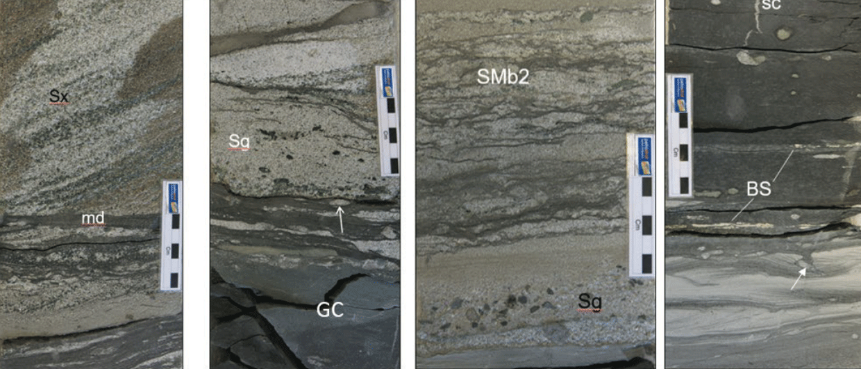
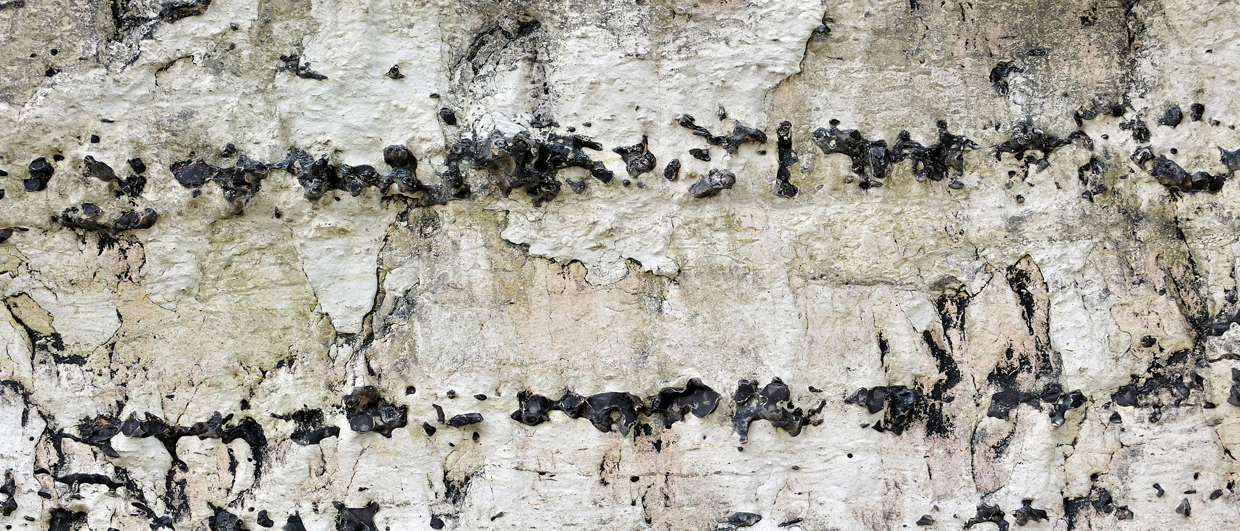
Geological challenges include shallow gas, large boulders that fell to the seabed when the ice melted, channels, sinkholes, slides, faults, as well as soft and mechanically weak deposits that extend downwards.
Fugro has been awarded the contract for Sørlige Nordsjø II, while Enviros will survey Utsira Nord. The government set aside funds in the 2023 state budget to complete the basic surveys.
At Sørlige Nordsjø II, the wind turbines will be able to be built as bottom-fixed installations (average depth is 60 metres), while at Utsira Nord the turbines must be floating (average depth is 267 metres).
In GEO 2023 (which can be ordered here) you can read our interview with Lars Jensen and read more about the demanding bottom conditions and NPD’s further work related to basic investigations for wind power. In the same issue, you can also read the article on how PGS will use the seismic technology P-Cable to ensure a sufficiently detailed picture of the ground conditions.