Tiny seismic nodes making high density land seismic accessible to all industries. Seismic acquisition has seldom seen such challenging times, especially onshore, where we are seeing tighter budgets and tougher…
In 2015, when I carried out a small project that involved looking at composite logs from UKCS wells, I visited the OGA office near the Aberdeen railway station and spent…
Jack Cawthorne, Mike Snape, Douglas Langton and Peter Wellsbury, Rockwash Geodata; Andrew Barnwell, Barnwell Parker Geoscience
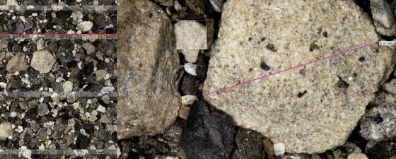
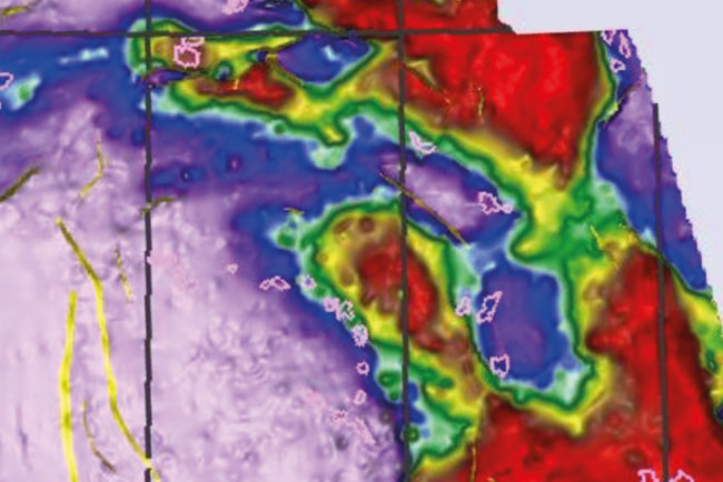
There are millions of drill cuttings samples from thousands of oil and gas wells sitting unloved and under-utilised in warehouses and core repositories around the world, but there is now…
Leveraging artificial intelligence to improve efficiency, predictability and performance in seismic acquisition and processing. A recent Gartner seminar made the bold prediction that “in the near-term AI will not replace…
Çağıl Karakaş, Schlumberger; James Kiely, OMV Norge
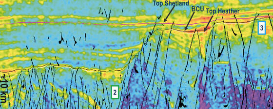
This seismic fault interpretation workflow integrates geological knowledge, machine learning (ML) and deterministic techniques aimed at mapping and characterizing a fault framework with geological consistency. The availability of large 3D…
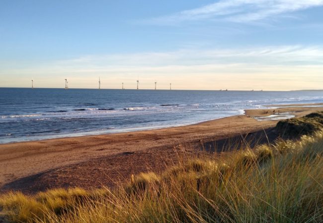
Will automation in ocean bottom seismic revolutionise operations and cut costs? It is generally accepted within the seismic acquisition industry that seabed seismic receivers deliver superior seismic data and consequently…
“We are hoping for many discoveries in the Greater Castberg area in the years to come”, said Hossein Mehdi Zadeh, Principal Geophysicist at Equinor during the NCS Exploration – Recent…
Using 3D animation software and surface models for new hillshade mapping techniques to produce hyper-realistic 3D-like maps. A new trend of map-making has recently evolved and changed the way we…
“For the so-called Class A wells, we have had an approximately 90 per cent success rate on our predictions”, said Øyvind Sylta, Managing Director at Migris during the NCS Exploration…
Norway is probably the first country in the world where new value is added to data not many people think about very often: cuttings. Under the umbrella of the Released…
The prize is awarded each year at the NCS Exploration Conference, and every other year – in connection with the theme of the conference being Recent Advances in Exploration Technology…
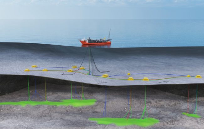
Operator Equinor, together with partners Vår Energi (25%), Idemitsu Petroleum (15%) and Neptune Energy (15%), has added a unique discovery to the list of exploration successes in the greater Fram…