– The evolution of the explorationist have been step-wise; from the analogue geoscientist in the 1960 – 1980s, to the digital geoscientist in the 1990 – 2010s and now, in the 2020s, we will see the augmented geoscientist.
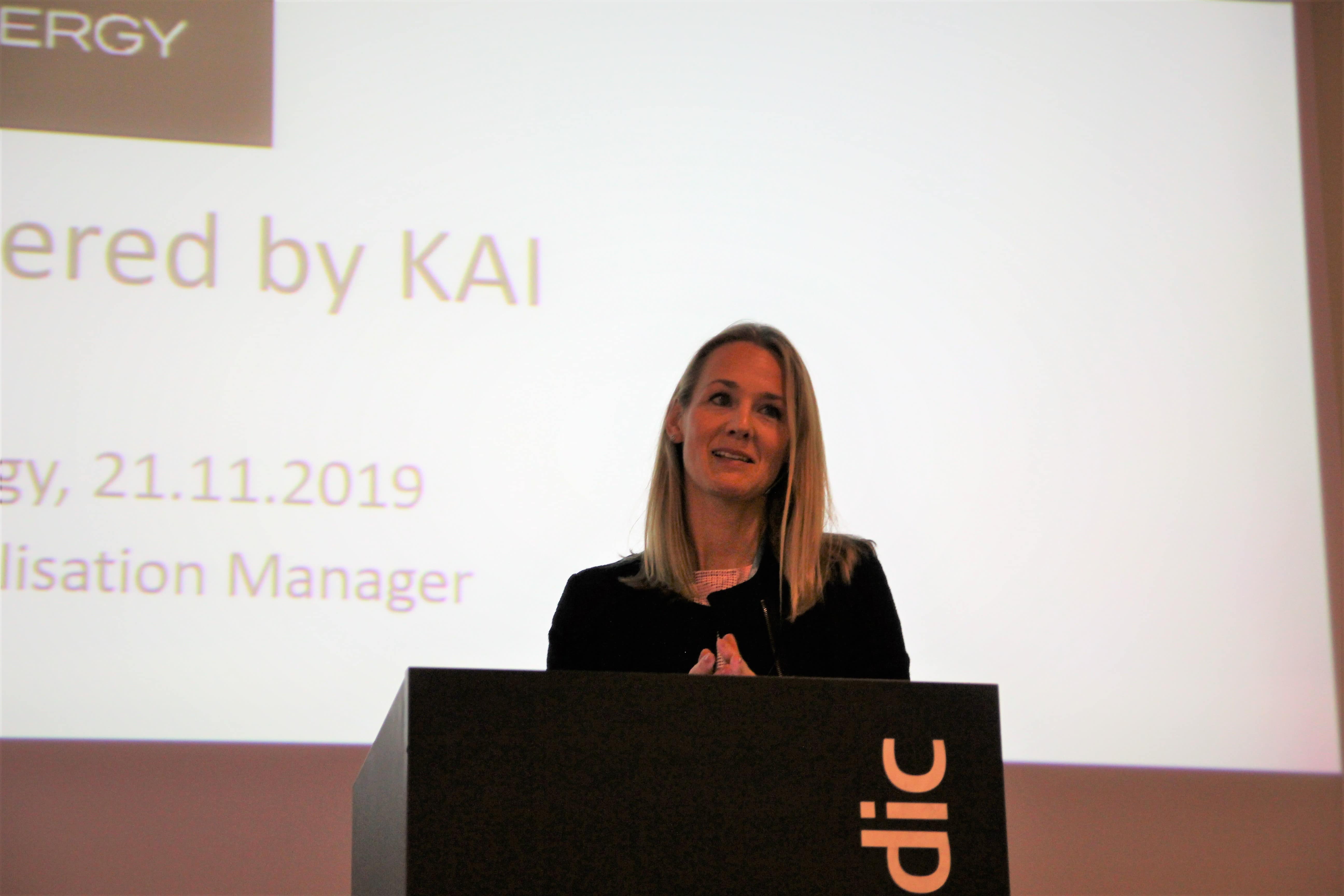
Kine Johanne Årdal, Digitalization Manager at Pandion Energy, spoke at the NCS Exploration Strategy 2019 conference in Stavanger on November 21th.
Through its new KAI (Kerogen Artificial Intelligence) subsurface data platform, Pandion seeks to transform the way geoscientists work by providing new digital and AI solutions.
In order for the machines to assist the geoscientist with tasks such as mining and analyzing data, the data need to be readily available, and in a language the machines can understand.
– This is not an easy task. Ours, as well as other oil companies’, subsurface data, comes in many forms and data formats, which needs to be reformatted for future machine reading and analysis.
In addition to a variety of different data formats, data siloes is also an issue, according to Årdal. A data silo is a collection of data in an organization that is isolated within a project or a part of the organization.
There are also technical siloes, such as software and applications, licences and countries, and organizational siloes such as team and domain expertise, experience driven workflows and data and result skepticism.
– The latter is an important issue. We are sceptic by nature. We trust our own processed data more than a dataset provided by a colleague. And the same goes for data provided by machines. So an important step for us is to build trust along the way of digitalization.
Pandion’s subsurface data platform is being built with gradually more data sets and an increase in data complexity.
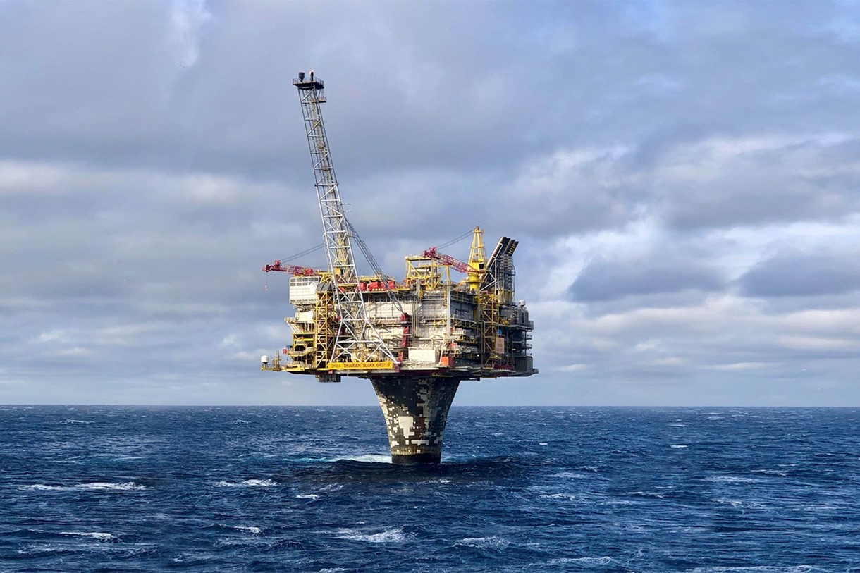
The future state, according to Årdal, is a platform that will help the explorers at Pandion by detecting new trends and insights for decision support, enable new combinations of subsurface data, identify innovate oil/gas opportunities and increase the chance of success for exploration drilling.
Kina Årdal gave an example of why it is important to collect as much data as possible, while also sorting through and structuring it.
– I came across three different reports on a part of the Blodøks Formation on the NCS. In one report, it was listed as having «No Formal Name», in another, the name was correct, but there were no indications of sand. And in the third report, sand was identified in cuttings.
One possible solution to this is currently under development. The Smart Search tool will make as much data as possible available to the geoscientist, help out with the screening process and enable the person to quickly search through all kinds of data sources.
– This will truly augment the geoscientist. However, in order to achieve this goal, we first need to structure as much of the available subsurface data as possible and transform it into a machine-readable text. Collaboration between companies as well as and between geoscientists and data scientists is crucial.
Kine Årdal will present at the upcoming DigEx 2020 conference in Oslo on January 28-29th.