An enormous challenge in terms of research, expertise information, technological innovation, environmental protection, spatial planning and social licence to operate is facing the European and international research and sustainable development plans.
From an EU perspective, the GeoERA Raw Materials project represents a first stage to take responsibility and expertise to ensure responsible sourcing of offshore minerals from domestic sources.
GeoERA stands for “Establishing the European Geological Surveys Research Area” to deliver a Geological Service for Europe.
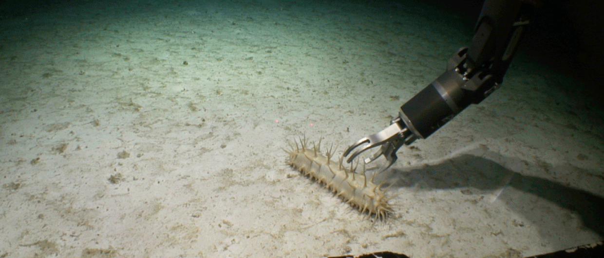
Under the framework of the MINDeSEA consortium, a cooperative network of twelve Geological Surveys and Marine Institutes is facing the minerals exploration challenge. So far, they have mapped and documented 691 seabed mineral occurrences in the MINDeSEA database, which is available as a GIS project but also in the form of publications and reports. Altogether, the datasets contain valuable information on geology, geohabitats, metallogeny, critical raw materials prospectivity and mineral potential.
In his talk on Day 2 of the NCS Exploration – Deep Sea Minerals Conference, October 19-21 in Bergen (“GeoERA-MINDeSEA Project Database and Cartography of European Seabed Mineral Deposits”), Javier González Sanz, Marine Geologist at Geological Survey of Spain, will talk about the work carried out so far and plans for the future.

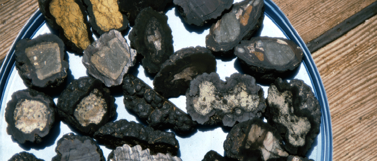
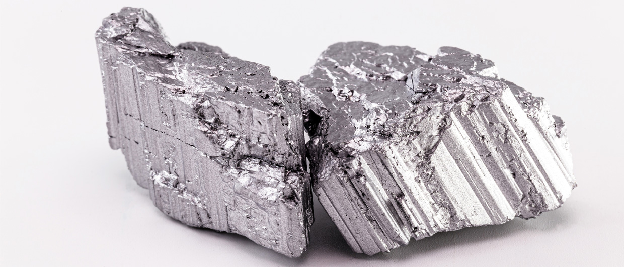
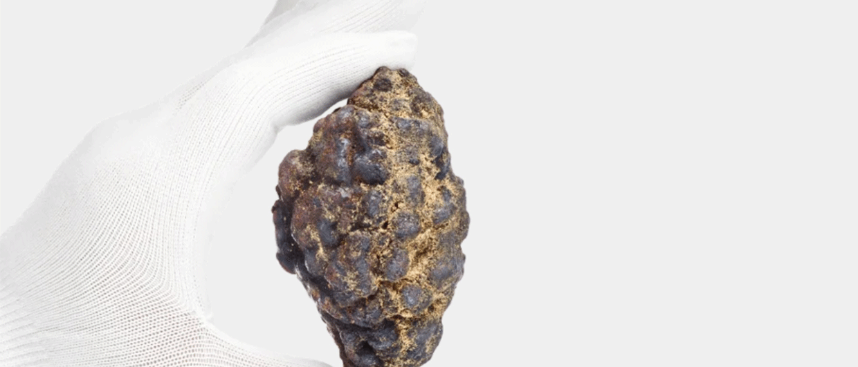
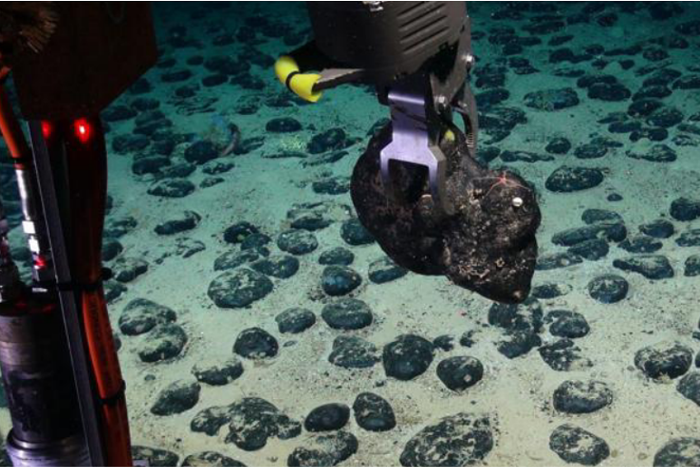
Five types of mineral deposits are investigated, including seafloor massive sulphides and hydrothermal mineralization (153 occurrences), ferromanganese crusts (141 occurrences), phosphorites (12 occurrences), polymetallic nodules (296 occurrences) and placers (89 occurrences).
The MINDeSEA dataset consists of data reported by 23 European countries and adjacent international waters beyond national jurisdictions, including 14 marine regions surrounding the European continent from the Arctic Ocean to Macaronesia (includes the Arctic and Atlantic oceans, the Mediterranean, Baltic and Black seas) at a scale of 1:250.000.