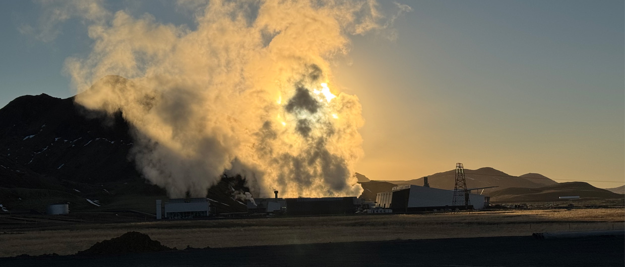
As production of gas is declining and the momentum to transition to a greener way of producing energy intensifies, the appetite to explore for niche geothermal plays in combination with new drilling techniques increases.
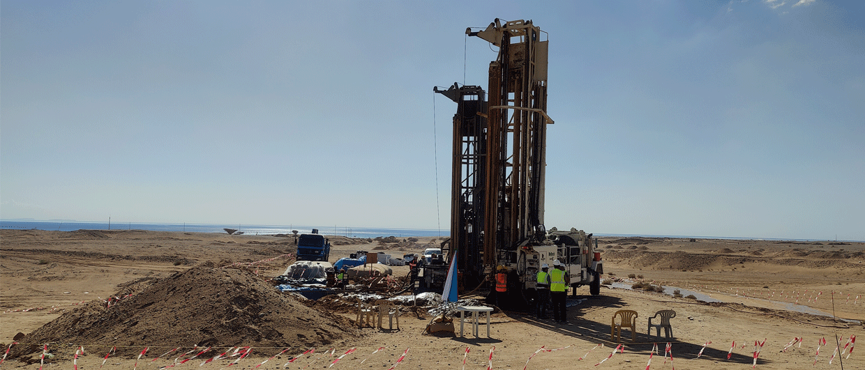
That is the case in the north of the Netherlands, where a consortium of companies will use a new drilling technique to explore for geothermal heat in a reservoir that is expected to be fairly thin (25-50 m). Because of the thin nature of the reservoir, a “traditional” doublet of a single producer and a single injector would struggle to produce the heat required to meet the project’s target. That’s why drilling company Huisman developed a technique to drill multi-laterals from the same parent well, potentially doubling the amount of energy being extracted from the reservoir.
SCAN programme
The initiative to drill this well near the city of Zwolle was accelerated by the SCAN project. This major programme – led by EBN, TNO and the government – investigates the feasibility of deep geothermal reservoirs in the Netherlands and also acquires an array of 2D seismic lines to better map geothermal reservoirs. The report that deals with the area near Zwolle is available online and identifies the Rotliegend as one of the potential target reservoirs in this part of the country. Let’s have a quick look at the characteristics of the Rotliegend reservoir in the area around Zwolle.

Basin margin system
Looking at the regional setting, the Zwolle area is part of the Southern Permian Basin and belongs to a belt of sandstones deposited along the southern margin of the basin. It is well known that the Rotliegend was deposited in a dryland system that experienced episodic flooding. For this reason, the sandstones are a mix of aeolian and fluvially reworked systems that rapidly thin towards the basin margin in the east.
In between the major systems
An interesting idea by the authors of the SCAN report is that they postulate an axis of Rotliegend fluvial activity (red arrows on the map) on either side of the planned well. This is based on the observation of gravel in the basal Rotliegend in a selection of wells, leading the authors to suggest that these wells were drilled in incised valley fills.
Should the geothermal potential of the Rotliegend be proven by the upcoming project, which is targeting a relatively thin Rotliegend interval, it will then certainly be worthwhile exploring the postulated fluvial axes both to the north and the south of the well.
Reservoir quality
In the Zwolle area, the top of the Rotliegend was already drilled fairly close (about 3 km) to where the new geothermal wells will be drilled. In 1977, NAM well Langenholte (LNH-01) hit the top Rotliegend at 2288 m, and proved a thickness of 41 m along hole.
The SCAN report mentions that the LNH-01 well is amongst a group of wells in the area that reported good porosities and permeabilities (20% and >100 mD respectively) from the Rotliegend, which should be sufficient to guarantee a reasonable flow rate.
Let’s keep a close eye on the outcomes of this project, because in case of success it means that more reservoirs could be successfully developed for geothermal energy production.
HENK KOMBRINK