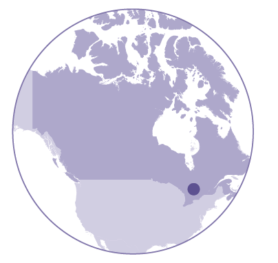
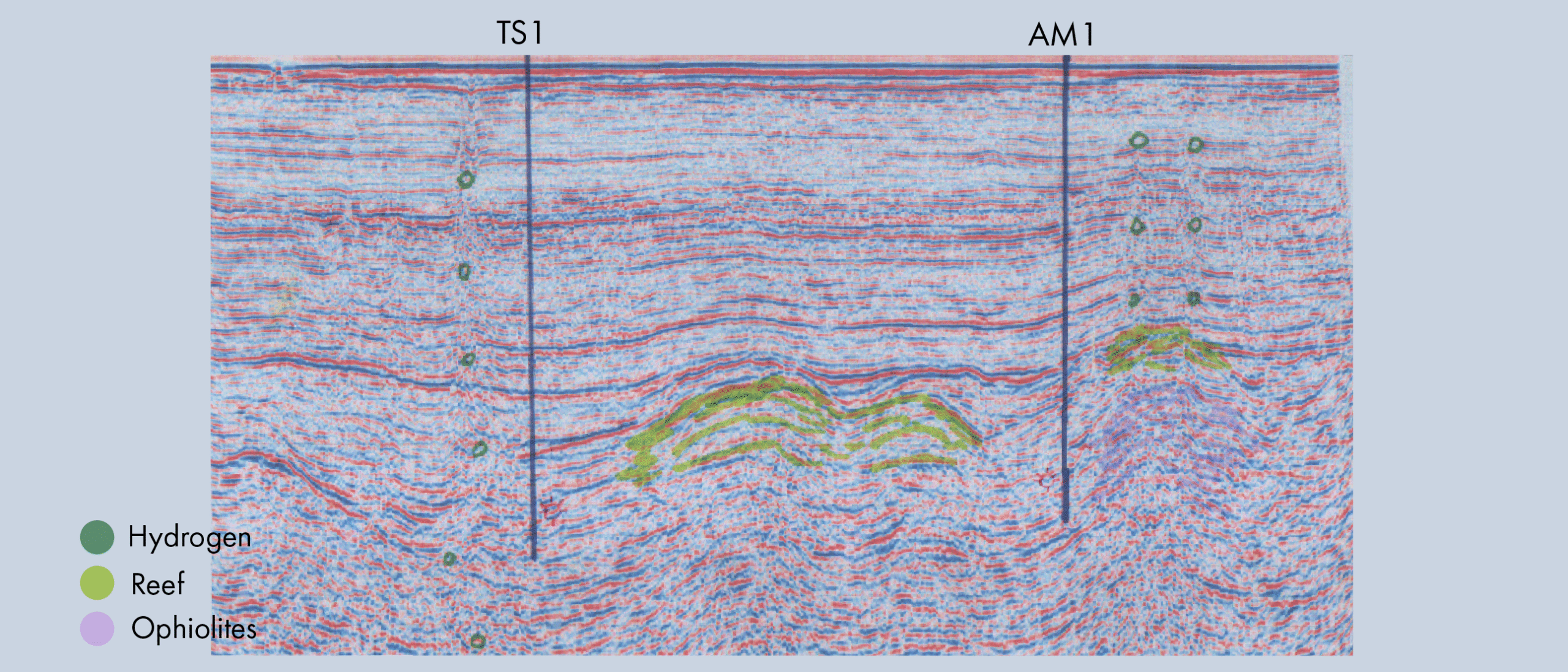
 The global search for natural hydrogen is centered around a few hotspots, and the Timiskaming Graben in Canada is one of them. The graben is located on the Canadian Shield, which is composed of mafic and ultramafic rocks, banded iron formations and kimberlite intrusions.
Faulting associated with the Timiskaming Graben may have started as early as 2.4 billion years ago and has been reactivated multiple times during periods of crustal extension, such as during the break-ups of Rodinia and Pangea, as well as through the various orogenies responsible for the formation of the Appalachian Mountains. Even today, the graben faults remain seismically active.
Both serpentinization and hydrolysis are likely occurring to at least some extent in the Timiskaming basement, with the deep-seated faults serving as fluid pathways for water and hydrogen circulation.
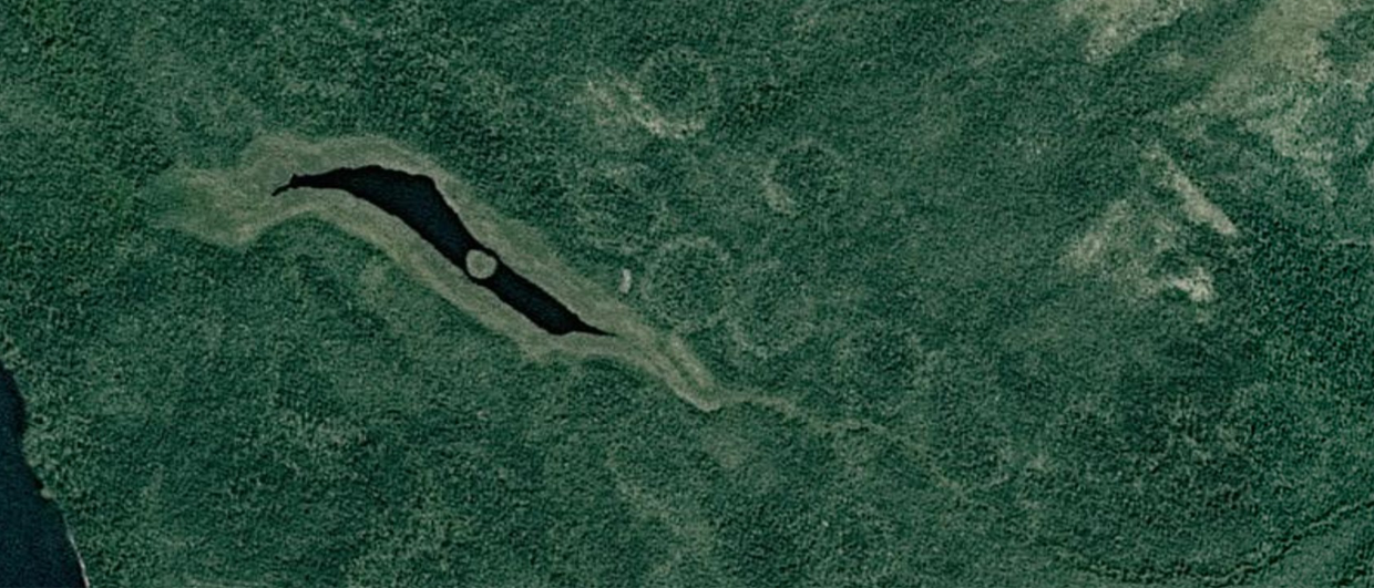
But what evidence supports the presence of natural hydrogen in the region? One of the first clues was the discovery of dissolved hydrogen in the groundwater of gold mines. In some instances, hydrogen makes up over half of the gas in solution. The mines are also associated with forest rings, semicircles of sparse and stunted tree growth observable from the air.
More than 2,000 of these forest rings, ranging from 50 m to 1.6 km in diameter, have been found in the boreal forests of northeastern Ontario. Although the correlation between these tree rings and hydrogen remains unclear, exploration companies view them as a positive indicator for hydrogen prospectivity.
Surveying for Hydrogen
Record Resources and Quebec Innovative Material Corp (QIMC), with land holdings on opposite sides of Lake Timiskaming, agreed to a joint study of dissolved hydrogen in the lake waters. This study was conducted in the winter of 2025, while the lake was frozen. Depth profiles revealed a hydrogen anomaly at the thermal boundary between the cold surface water and the slightly warmer deep water. This is interpreted as evidence that faults exposed in the lake are outgassing hydrogen.
QIMC has also done an extensive soil gas sampling campaign on the Quebec shore of Lake Timiskaming. Based on these results, they drilled eight shallow hydrogen monitoring wells, with one well showing over 2 % hydrogen gas at 75 m depth. Now, a deeper drilling campaign is planned with wells reaching between 500 and 600 m depth, gaining more general geological insight as well as detailed understanding of the fault and fracture system obscured by Quaternary sediments.
These findings leave no doubt that hydrogen is generated in the basement rocks of the Timiskaming Graben. However, the next and more important question is: If and where is hydrogen trapped in economically viable quantities?


