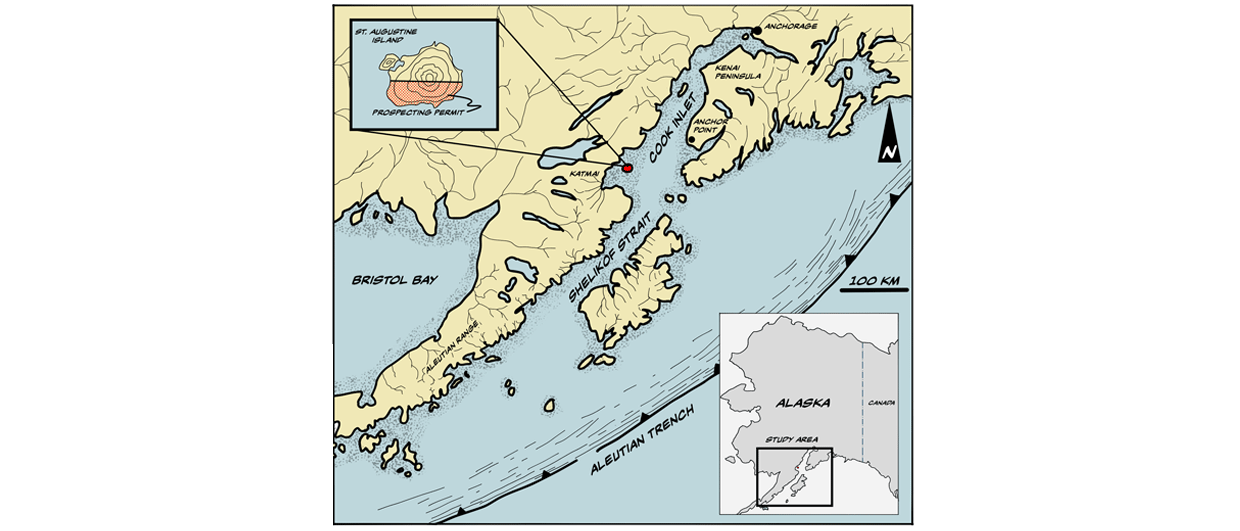
Figure 1. Location map of Augustine Island in the Cook Inlet. Illustration: Marcos Asensio.
Finding a hotspot in Alaska
Volcanos may be the solution for the energy transition in America’s coldest state
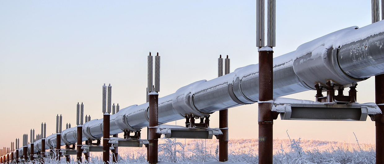
Domestic gas production in Alaska’s Cook Inlet is declining rapidly, and for that reason, there is now an incentive to further increase the share of renewable energy. One candidate to achieve this is Alaska’s volcanos, positioned along the Pacific Ring of Fire.
Mount Augustine is an active stratovolcano situated on Augustine Island in the Cook Inlet, Alaska, approximately 110 kilometers southwest of Anchor Point on the Kenai peninsula. Closely monitored by the Alaska Volcano Observatory (AVO), Mount Augustine is believed to have significant geothermal potential due to its predicted shallow magma chamber. In 2020, GeoAlaska Inc. with its partner Ignis H2 Energy Inc. acquired a 10,830-acre prospecting permit covering the entire southern flank of Mount Augustine.
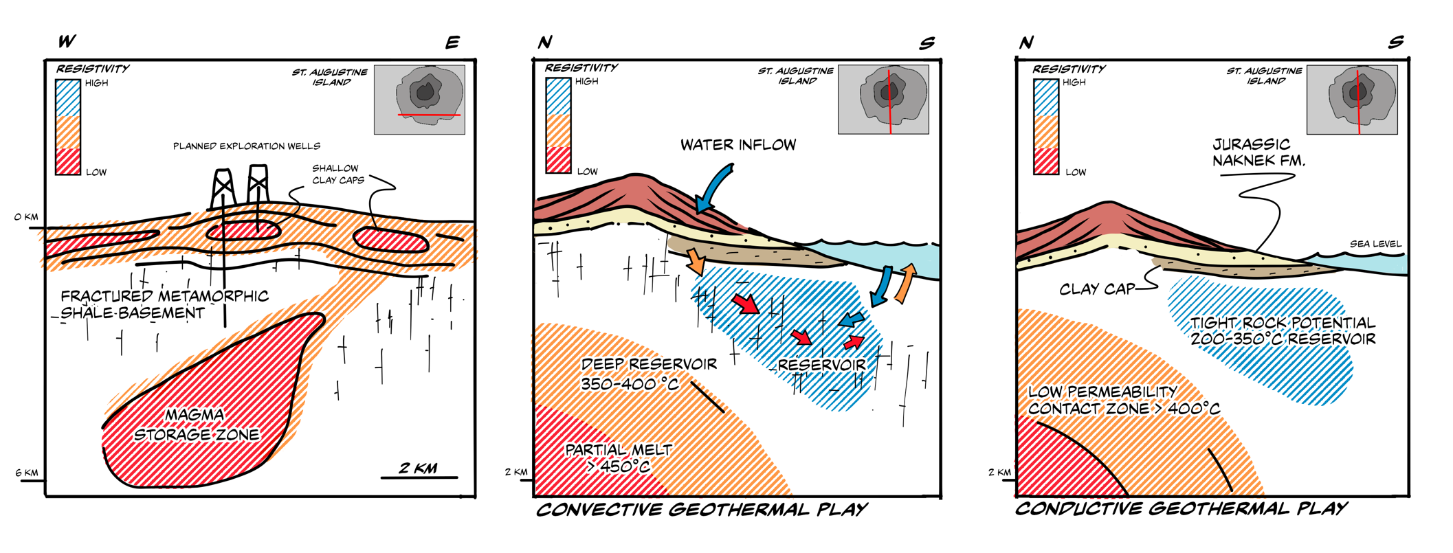
Over the past couple of field seasons, magnetotelluric (MT) surveys were carried out and rock samples were collected. In addition, P and S wave arrival times recorded from 15 permanent seismic monitoring stations deployed across the volcano were incorporated into the subsurface understanding.
The combined geophysical data, including the recent MT survey, suggest that the island hosts a substantial hydrothermal system. AVO insights, together with P and S wave analyses, revealed a high geothermal potential on the southern flank, likely due to a brittle zone where degassed fluids have created fractures in the metamorphosed shale basement.
Additionally, the Upper Jurassic silts and sands of the Naknek Formation exhibit higher VP and VS, suggesting a thermally altered clay layer acting as a seal between the fractured, fluid-saturated basement and the overlying sediments.
In addition, the MT data indicate three laterally extensive shallow low resistivity zones at approximately 500 m depth below sea level, overlying potentially convective or conductive geothermal plays. Finally, a large low-resistivity geobody extending from a depth of 2 km to 8 km has been identified, underlying the central and southern area of the island, which is likely to represent a large magmatic storage zone.
The AVO has estimated that the temperature within the magmatic storage zone is in excess of 840° C. The contact zone between this high-temperature thermal heat source and the surrounding host rock provides a fourth, deeper (1,500 m below sea level) prospect with higher enthalpy.
AN ANALOGUE IN JAPAN
A good analogue for the subsurface characteristics identified at Augustine is the Kakkonda Field, NE Honshu, Japan. Kakkonda is an 80 MWe liquids-dominated field consisting of shallow 230° C – 260° C reservoirs and a deeper, 450° C reservoir associated with the thermally active heat source.
At a risked P50 level, the mapped prospects at Mount Augustine could potentially support up to 200 MWe of energy production. The next phase of the program will be to drill two exploration wells targeting one of the shallow prospects in order to demonstrate flow between wells.