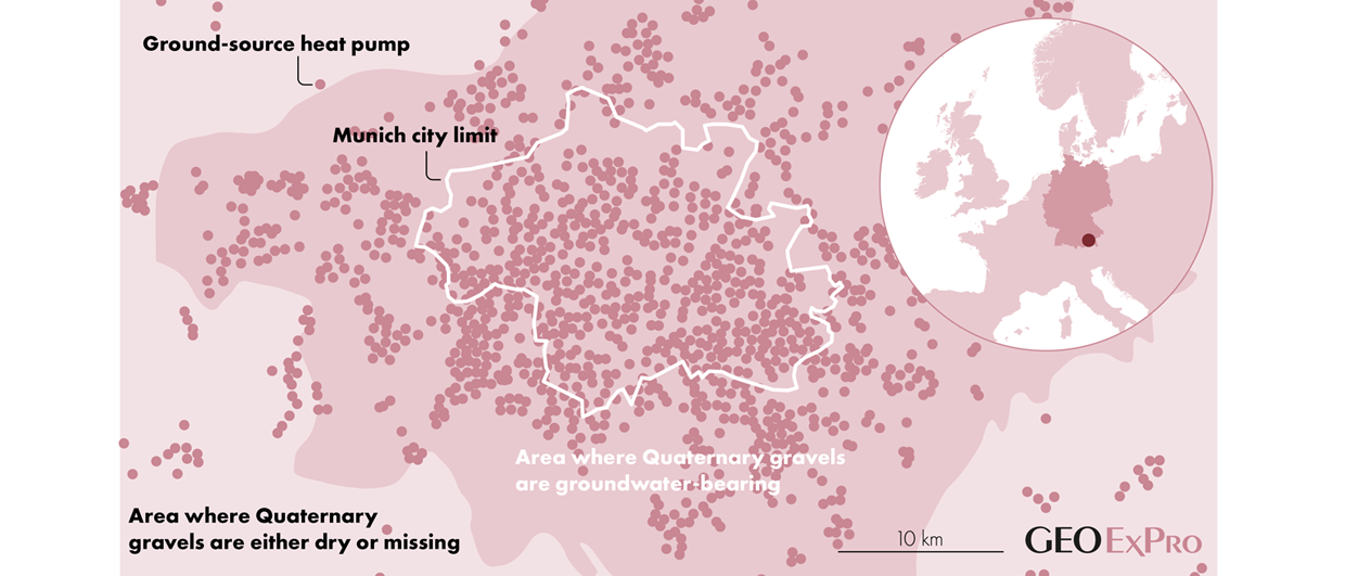
This map from the greater Munich area in southern Germany nicely illustrates the relationship between a favourable subsurface setting – in this case a permeable Quaternary gravel plain – and the number of ground-source heat pumps and associated boreholes that have been drilled to tap into this resource. Source data: see links below.
Gravel and geothermal energy
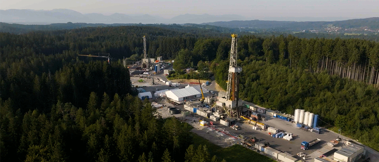
The city of Munich is built on a Quaternary gravel plain, which has become a drilling target for shallow geothermal projects in recent years. But even though it is shallow, careful mapping and planning is still required to de-risk new projects
It is well-known that Munich is benefiting from a favourable setting in terms of deep geothermal energy production. A little less well-known is that Munich also sits on a much shallower geothermal reservoir, and that is the Quaternary gravel plain that underlies the entire city and its surroundings.
Thanks to the combination of high porosity and permeability and the presence of fast-flowing groundwater, this shallow succession has been and continues to be the target of ground-source heat pumps. The map shown here nicely illustrates the close relationship between the density of ground source heat pumps in the Munich area and the presence of groundwater in the Quaternary gravels.
But that doesn’t mean a borehole can just be drilled anywhere. Careful site investigation is still required – the thickness of the Quaternary gravel succession can change quickly and this can impact the design of a borehole.
In order to perform an informed site investigation, authorities in the Munich area have therefore launched several initiatives to make subsurface data publicly available. In analogy to deep exploration projects, offset data provides more security in planning new projects. The data density varies though, especially in the outer city areas, so the risk profile changes per location. And, on top of that, there is always the odd surprise.
Fancy a look at the subsurface data around Munich yourself, check these sites:
Umweltatlas – View all boreholes drilled in the Munich area and much more geological information
Technical University Munich – Geothermal potential of the gravel plain
This was the case in a recent project where Stadtwerke Munich explored the subsurface before starting a project in order to see if the were data reliable and if there was enough groundwater. The exploration phase suggested favourable conditions, so the well was planned and the project was started.
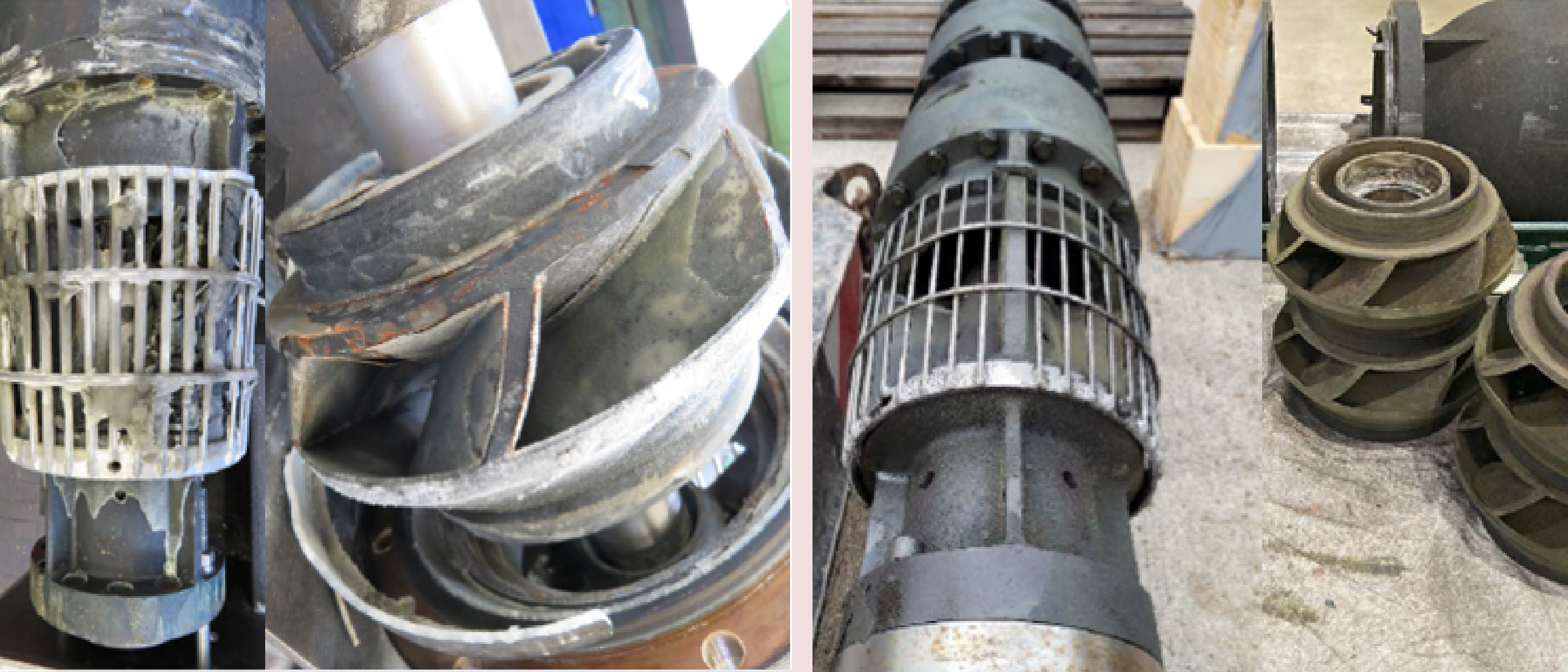
Even though the production well was positioned only 5 m away from the exploration borehole, it showed a 2 m vertical offset of the aquifer basis. Luckily, the project was still successful, but the pipes had to be re-ordered again so they fit the subsurface conditions.
For that reason, Stadtwerke Munich now drills its exploration boreholes in exactly the same location as where the future planned well is to be drilled in order to prevent these situations.
Because of the data density now available and the experience gained through offset studies, smaller projects do not necessarily need an exploration borehole drilled first. Yet, sometimes the predicted depths match the drilled depth with an accuracy of a centimeter.
The hydraulic conductivity of the gravels has turned out to be harder to predict, as it ranges from around kf=0.0001 to 0.01 m/s and has a high impact on the productivity of a well. But, with cumulative experience on projects in the gravel plain predictive power has also increased in this regard.
See also: Shallow geothermal energy is also thriving in the Munich area
This article has benefitted from input by Ayla Hernández from SWM – Stadtwerke München