Paleogeography of the South Atlantic region during the Aptian (118 Ma). Map adapted from Duncan Macgregor.
The source rock for Venus
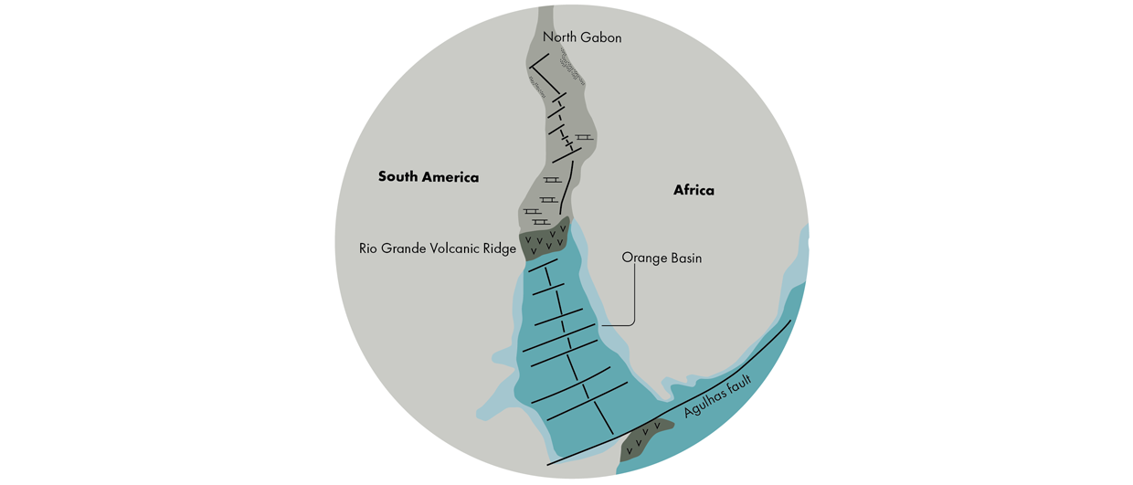
The unzipping of the Southern Atlantic made visible using paleogeographic maps.
Duncan Macgregor and his colleague Colin Reeves are working on a project that will result in the creation of a series of paleotectonic and paleogeographic maps of the African continent. The 19 maps will be made available via their website and are free to use for non-commercial purposes.
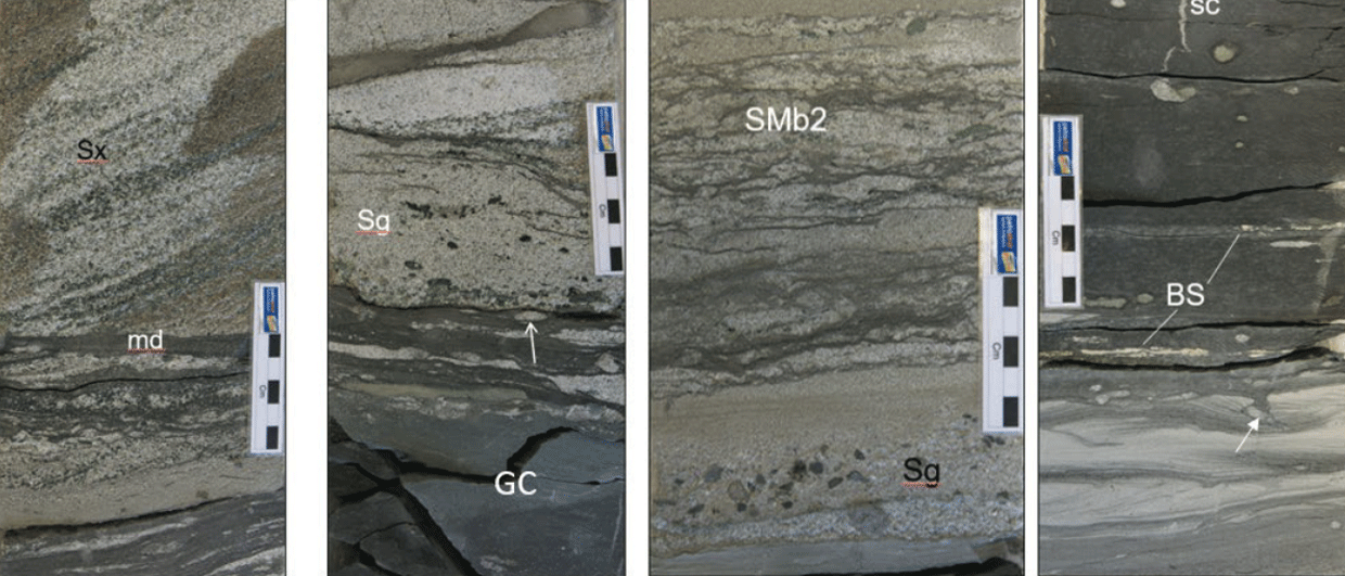
Here, we show a paleogeographic map for the Late Aptian (118 Ma), when the South Atlantic had opened along the Agulhas Fault. As the basin experienced restricted circulation, deposition took place of what later turned out to be the source rock for the Venus discovery in the Orange Basin.
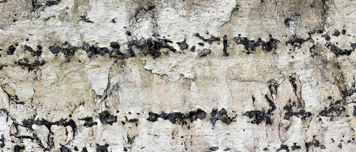
A major unconformity at 118 Ma is thought to mark the initiation of an oceanic ridge between the Rio Grande volcanic ridge and North Gabon. This area was characterised by an interplay of salt deposition, lacustrine carbonates and fluvial-aeolian sands, of which the latter two form major reservoirs. Even further north, a series of rifts and transforms initiated deep basins with non-marine fills, thereby clearly illustrating unzipping from north to south.
Another important learning from this map is that searches for analogues are more valid across rather than along the Atlantic margins.
This article is the second one in a series of five dedicated to the Power of Paleogeography. It forms part of the cover story that was published in Issue 5 of the GEO ExPro magazine. A copy of the magazine can be downloaded here.